
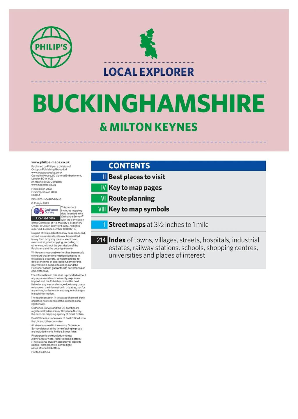
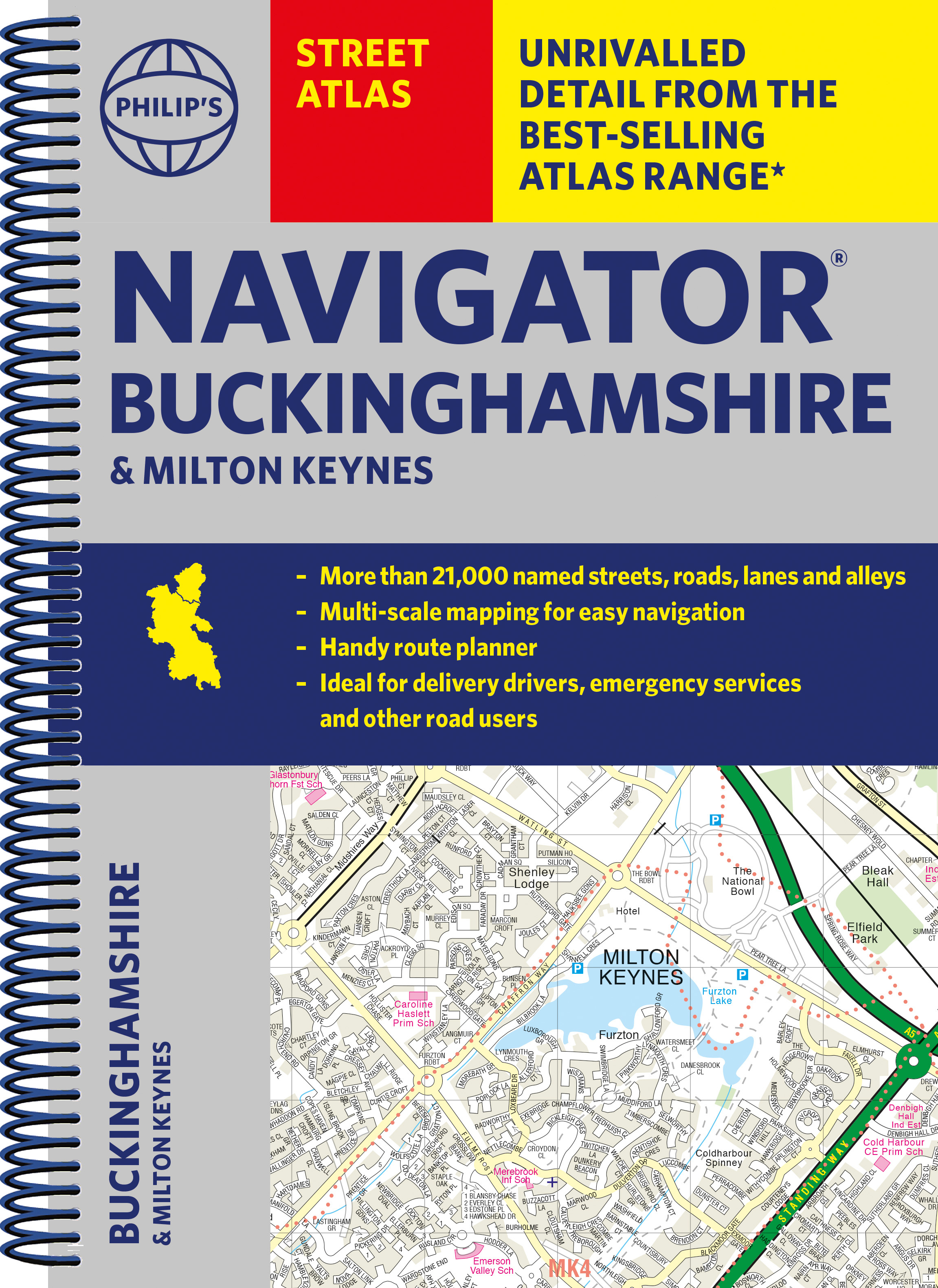
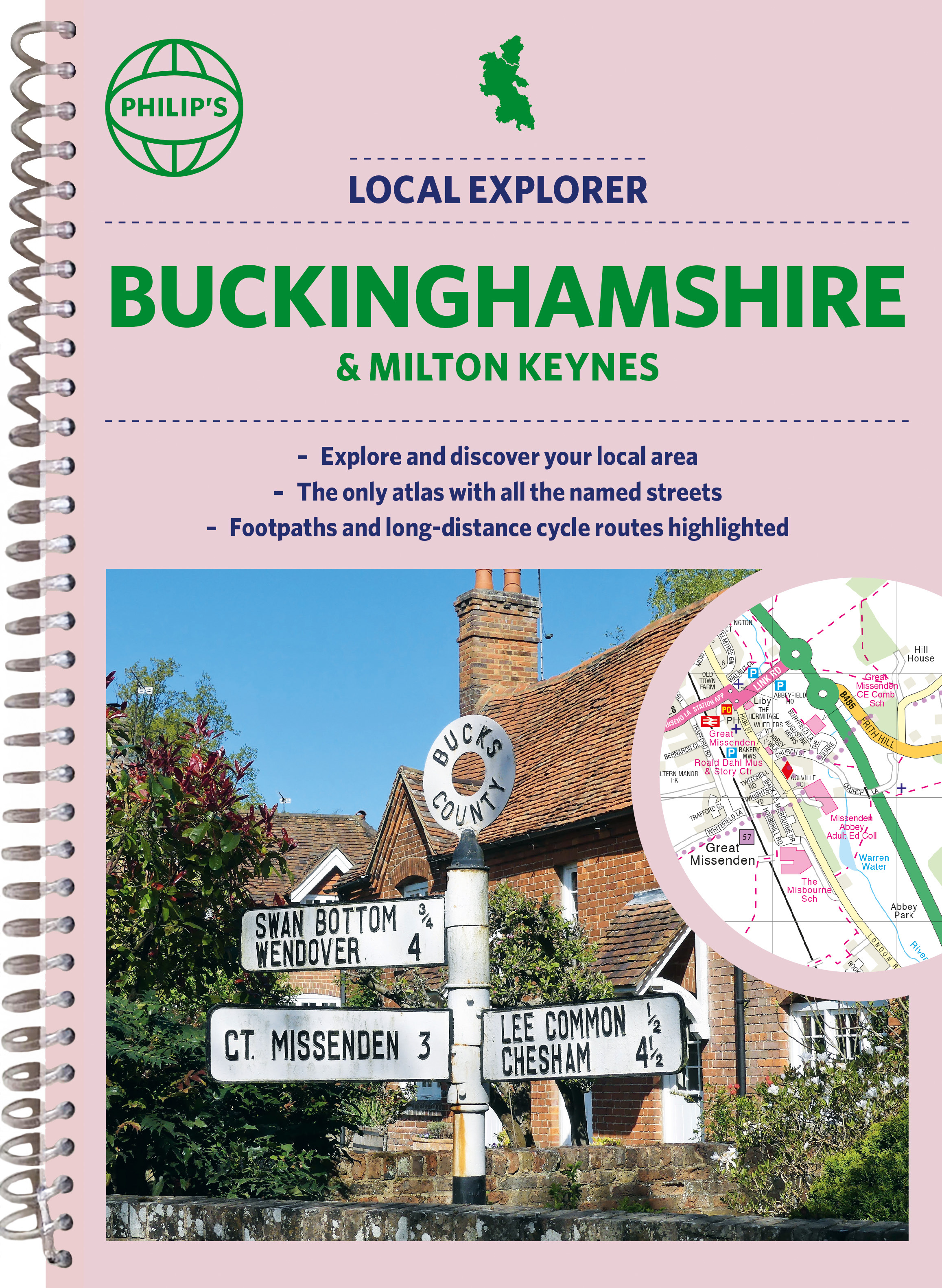
Imprint
- Philip's
- Philip's
Philip's Street Atlas, Travel maps & atlases, Street maps & city plans
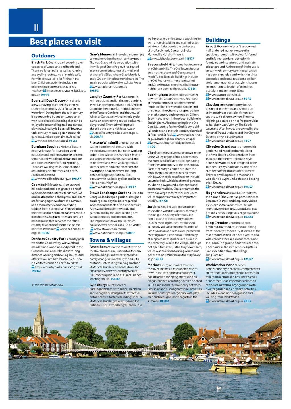
Gallery
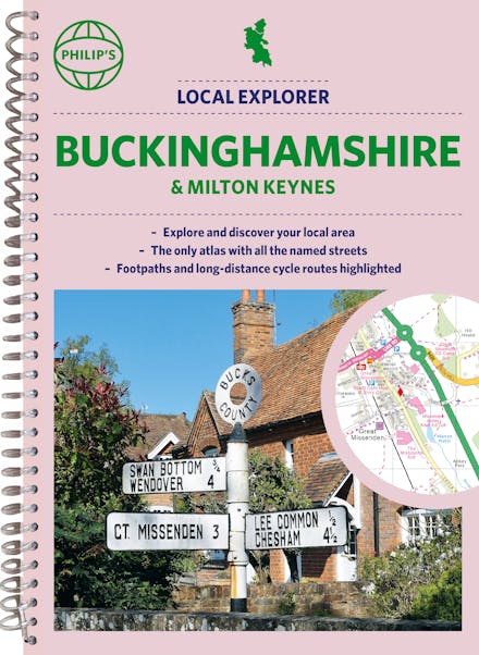
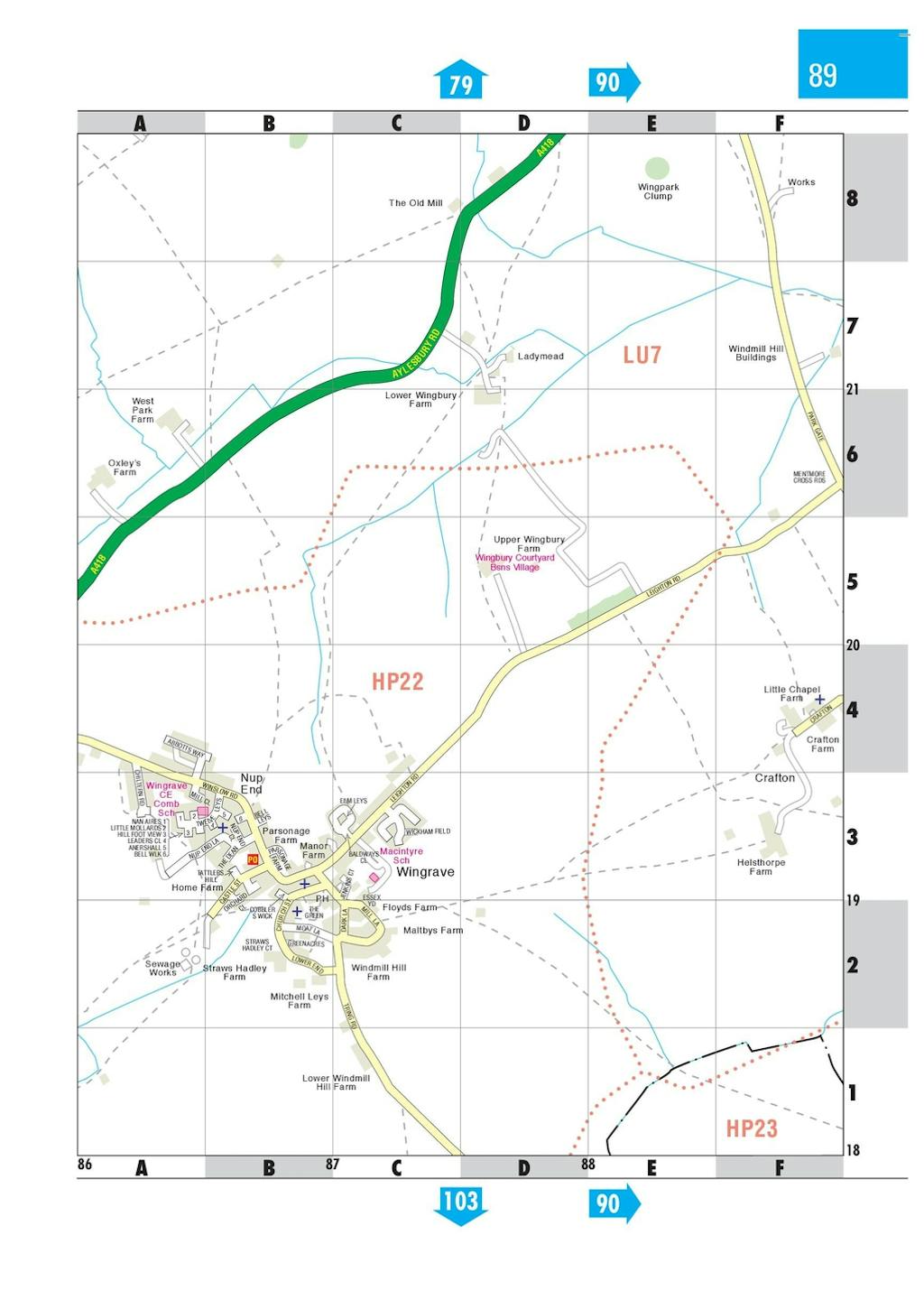
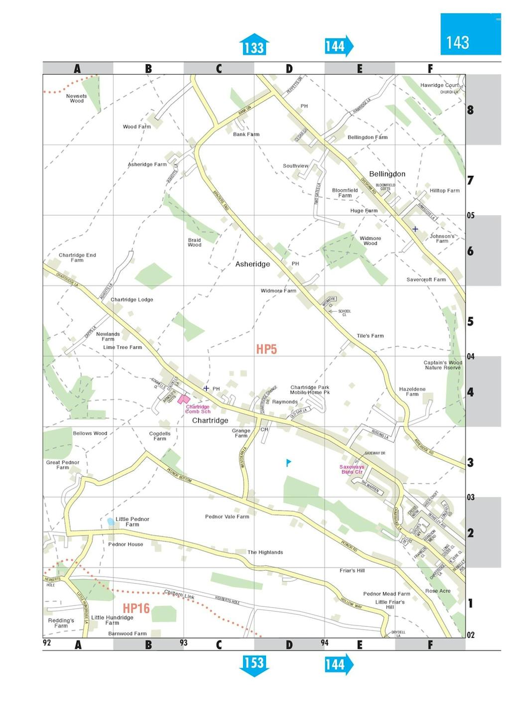
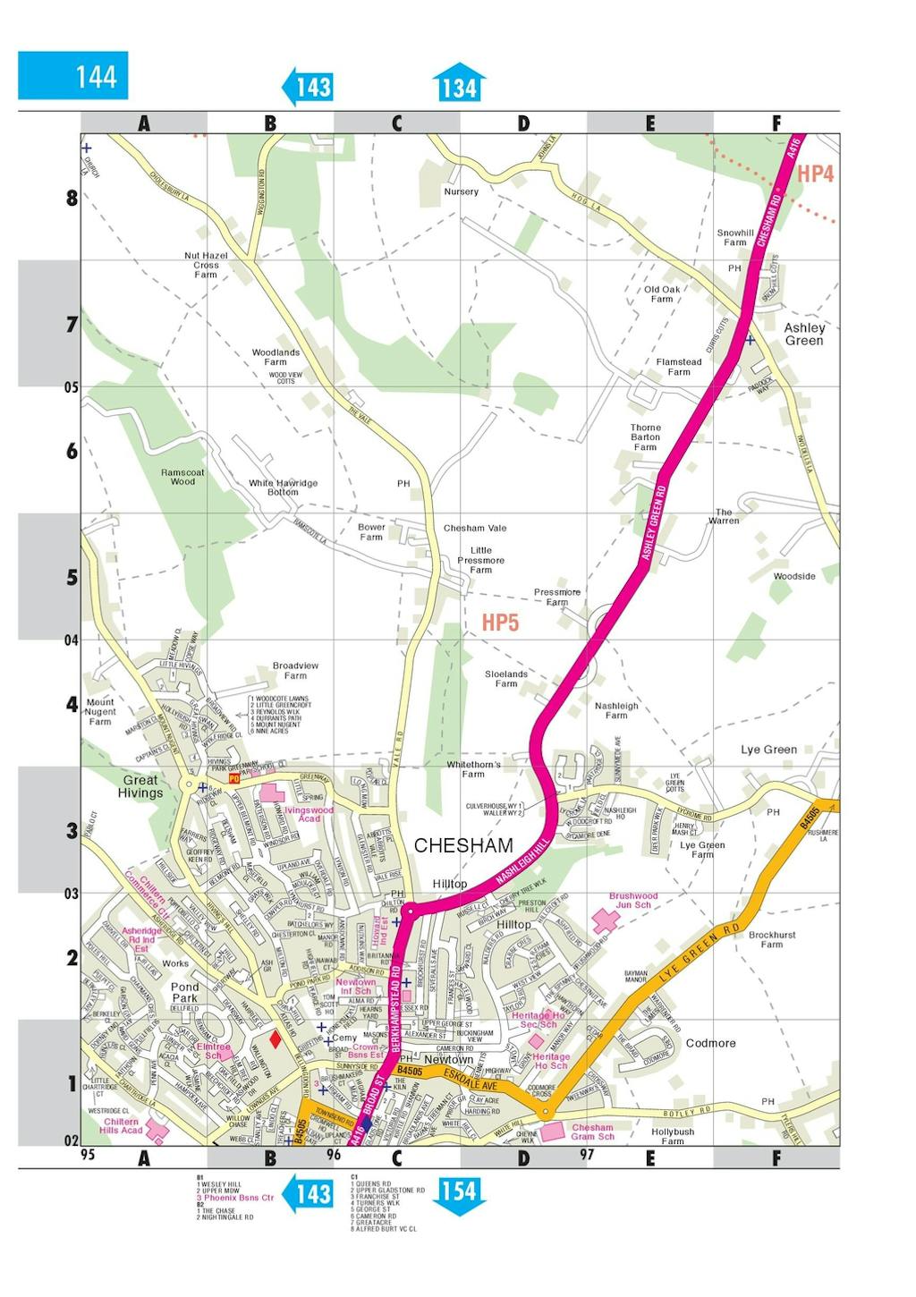
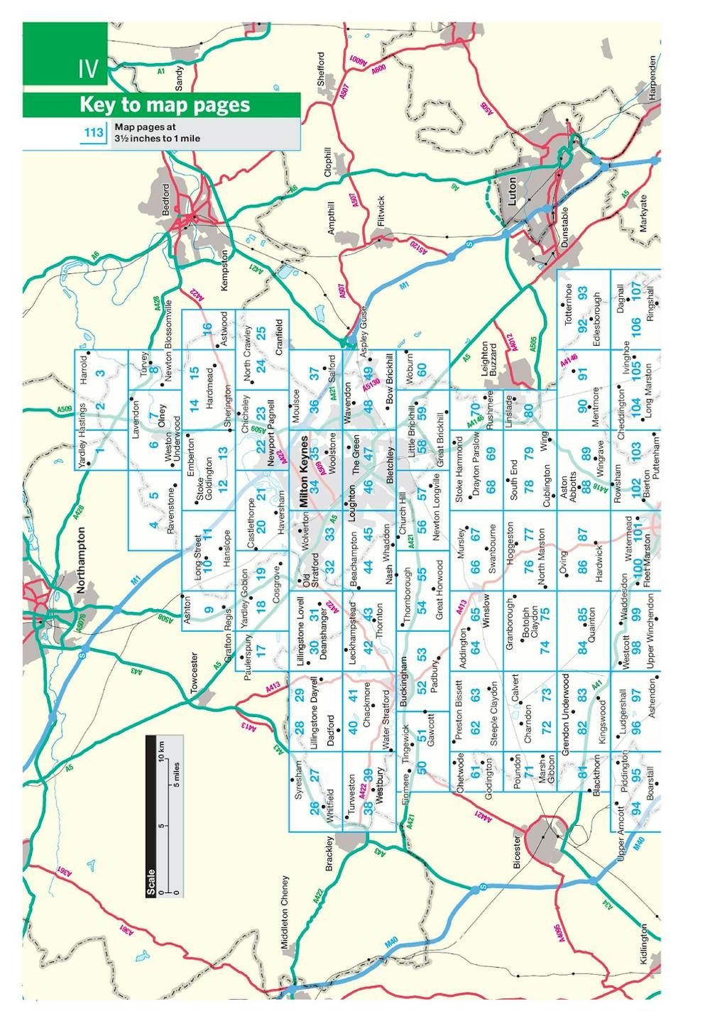
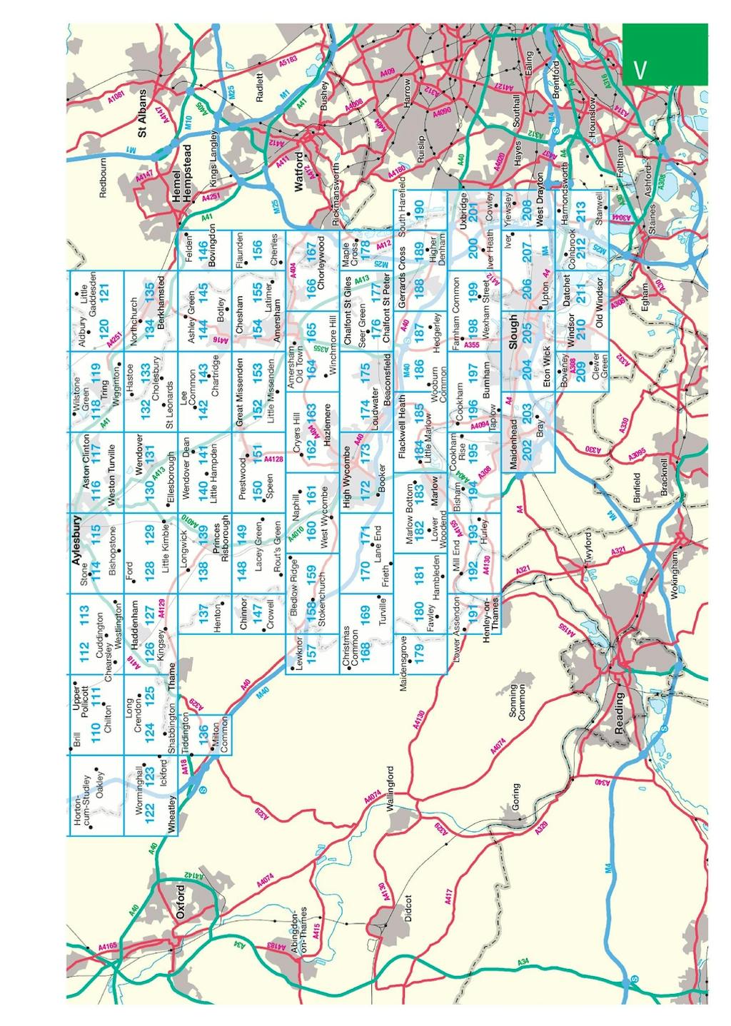
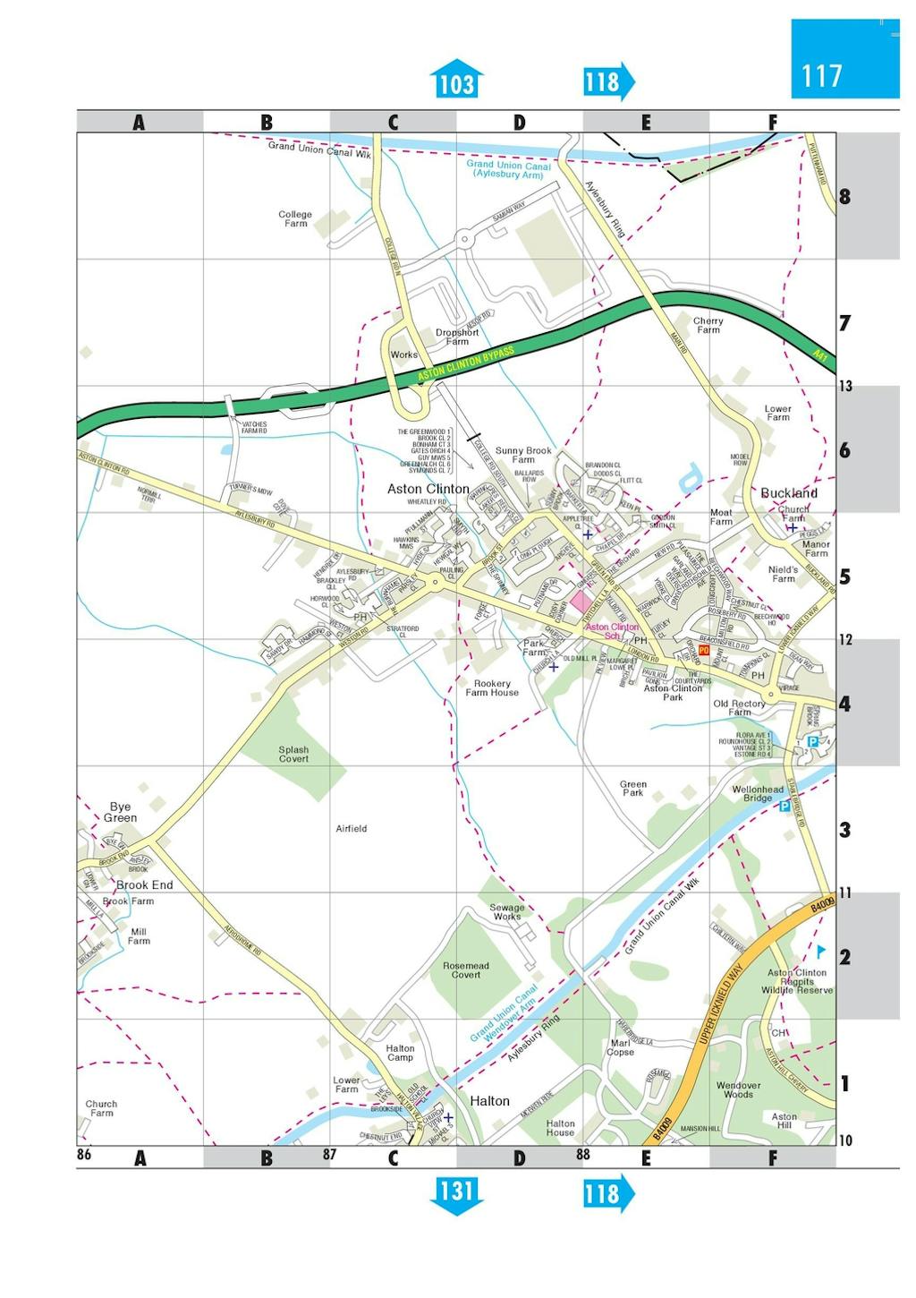
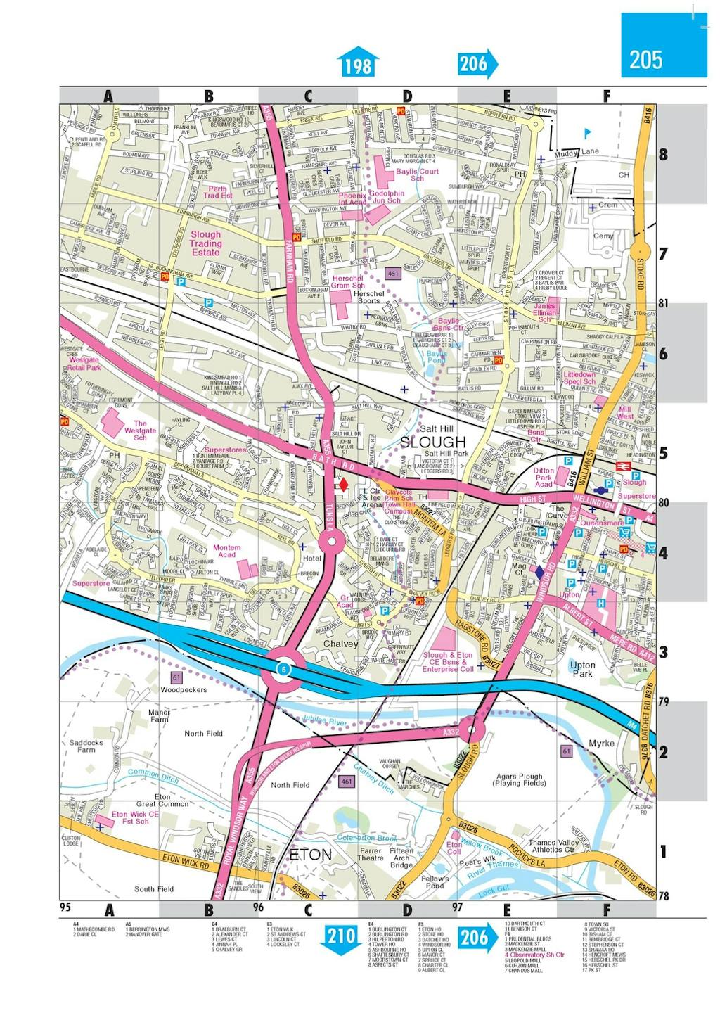
The only county Street Atlas with all the named streets of Buckinghamshire and Milton Keynes and perfect back-up for emergency services, delivery drivers, visitors and locals.
With more than 18,000 named streets, roads, lanes and alleys, this is the essential map book for residents and visitors - especially if you're in a hurry
Includes all the streets in AYLESBURY, BLETCHLEY, CHESHAM, HIGH WYCOMBE, MILTON KEYNES, SLOUGH, Amersham, Beaconsfield, Berkhamsted, Buckingham, Burnham, Chalfont St Giles, Chalfont St Peter, Chesham Bois, Chorleywood, Cookham, Denham, Flackwell Heath, Gerrards Cross, Great Missenden, Haddenham, Hazlemere, Iver, Linslade, Little Chalfont, Loudwater, Loughton, Maidenhead, Marlow, Newport Pagnell, Olney, Prestwood, Princes Risborough, Stoke Mandeville, Stoke Poges, Stony Stratford, Thame, Tring, Uxbridge, Wendover, Windsor, Winslow, Wolverton.
- New completely revised edition in practical spiral-bound format
- Street maps show car parks, schools, hospitals and many other places of interest, including off the beaten track
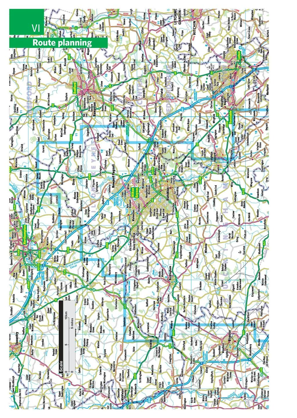
- 2-page practical route-planning section showing all A and B roads
- Super-clear mapping
- Easy-to-use index
- Scale: 3 inches to 1 mile (1:18,000).
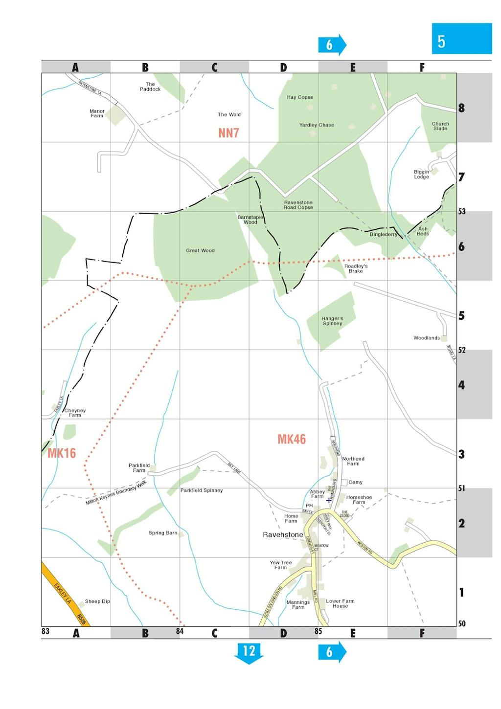
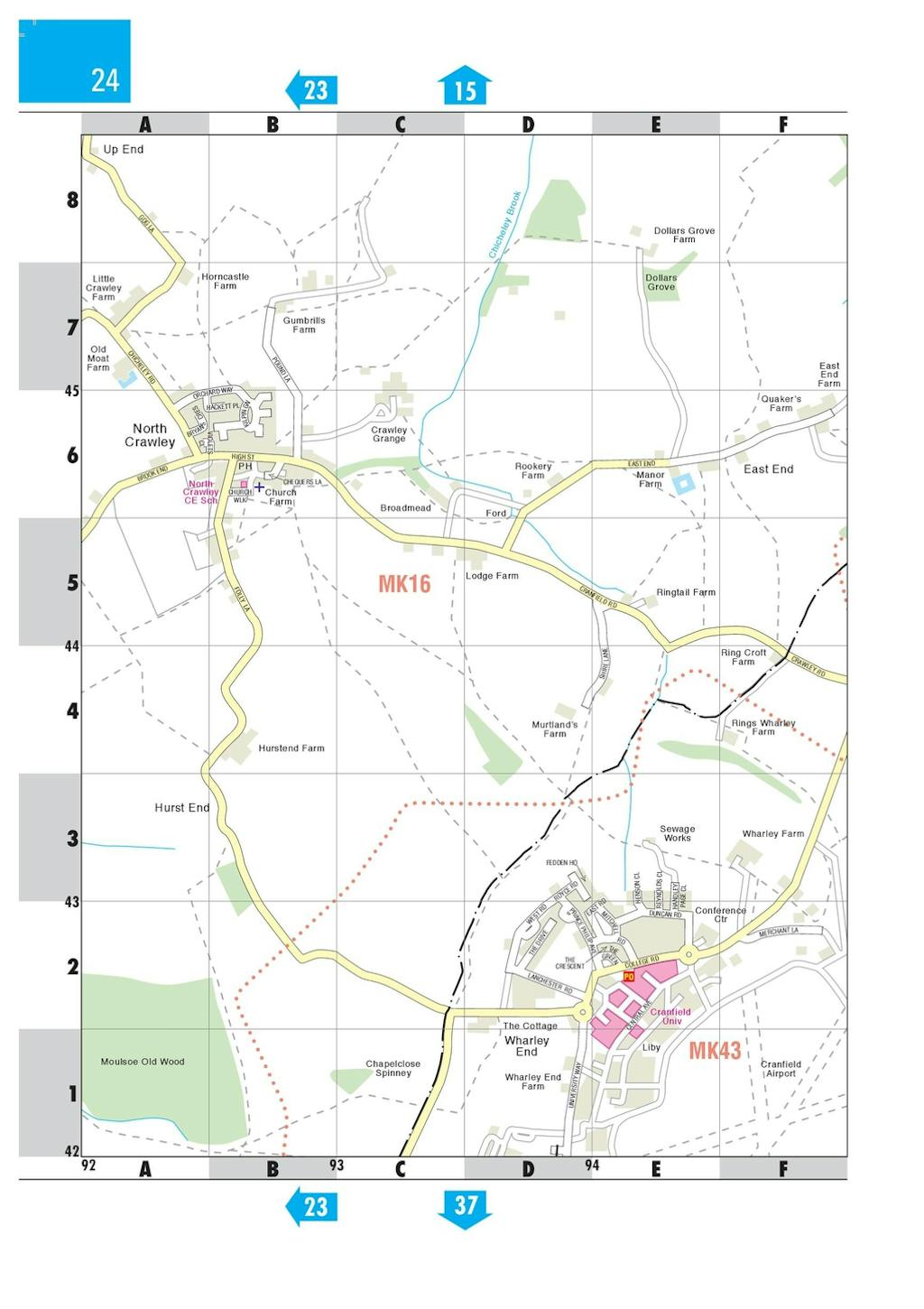
Other information on the maps includes postcode boundaries, car parks, railway and bus stations, post offices, schools, colleges, hospitals, police and fire stations, places of worship, leisure centres, footpaths and bridleways, camping and caravan sites, golf courses, and many other places of interest.


Find a book you’ll love, get our Word Up newsletter


.png?auto=compress&w=150&h=60&fit=crop&fm=jpg)
.png?auto=compress&w=150&h=60&fit=crop&fm=jpg)

Hachette Australia acknowledges and pays our respects to the past, present and future Traditional Owners and Custodians of Country throughout Australia and recognises the continuation of cultural, spiritual and educational practices of Aboriginal and Torres Strait Islander peoples. Our head office is located on the lands of the Gadigal people of the Eora Nation.
