Imprint
- Philip's
Philips Road Atlas, Travel maps & atlases, Road atlases & maps
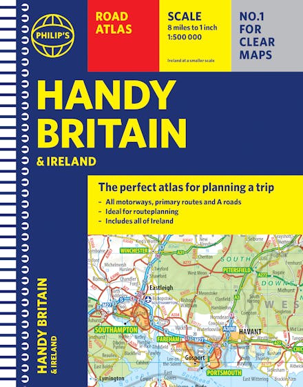
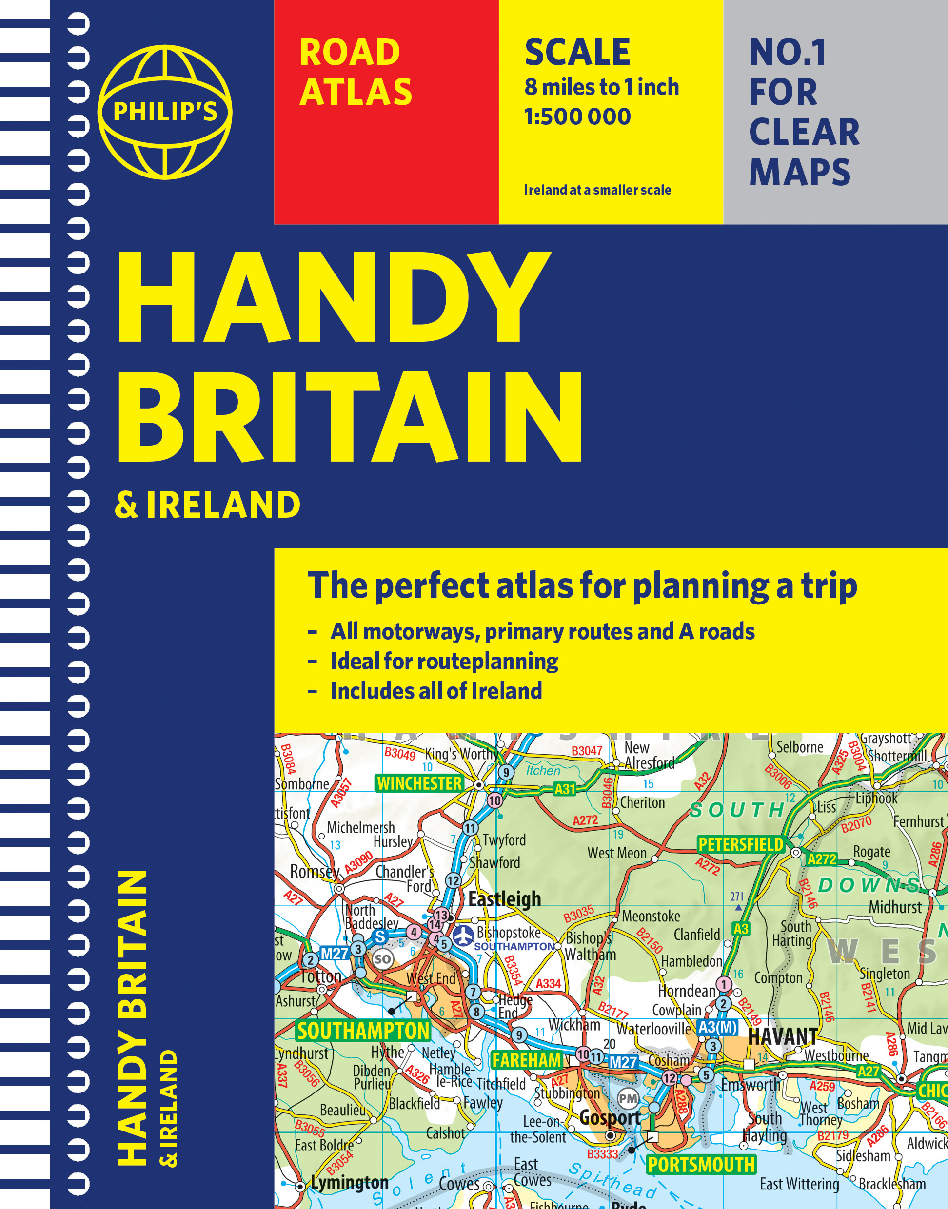
The essential handy road atlas for planning a trip in Britain and Ireland. Keep it in the glove box or your travel bag for quick and easy reference.
"The perfect atlas for planning a trip anywhere in the UK and Ireland"
The essential handy road atlas for planning a trip in Britain and Ireland. Keep it in the glove box or your travel bag for quick and easy reference.
This gem of a glove-box sized atlas has all the core information you need for driving around the British Isles. It includes all the motorways, primary roads and A Roads and they are clearly shown - ideal for route planning. There is a separate 4-page road map of Ireland for easy use. Alongside that, this handy atlas includes a key map, a distance table and useful counties map.
All the towns and villages listed within are indexed and all the information comes in a handy glove-box size format with practical, lie-flat spiral binding. With the scale at a user-friendly 8 miles to 1 inch / 1:500,000 (Ireland 19 miles to 1 inch /1:1,200,000) and fully up-to-date using Philip's clear mapping, you will never be at a loss to establish the best route.
Keep in the car or sling in your bag before travelling, the Philip's Handy Road Atlas of Britain is also great value at only 5.99.


Find a book you’ll love, get our Word Up newsletter
.png?auto=compress&w=150&h=60&fit=crop&fm=jpg)


.png?auto=compress&w=150&h=60&fit=crop&fm=jpg)
Hachette Australia acknowledges and pays our respects to the past, present and future Traditional Owners and Custodians of Country throughout Australia and recognises the continuation of cultural, spiritual and educational practices of Aboriginal and Torres Strait Islander peoples. Our head office is located on the lands of the Gadigal people of the Eora Nation.
