Imprint
- Philip's
Prose: non-fiction, Travel maps & atlases, Travel maps
Gallery
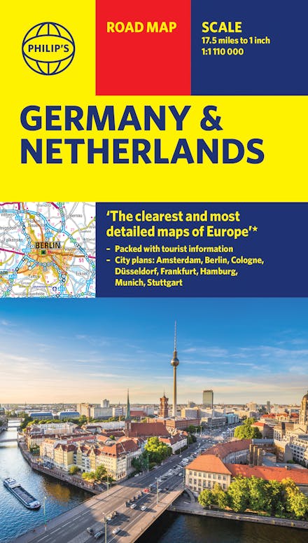
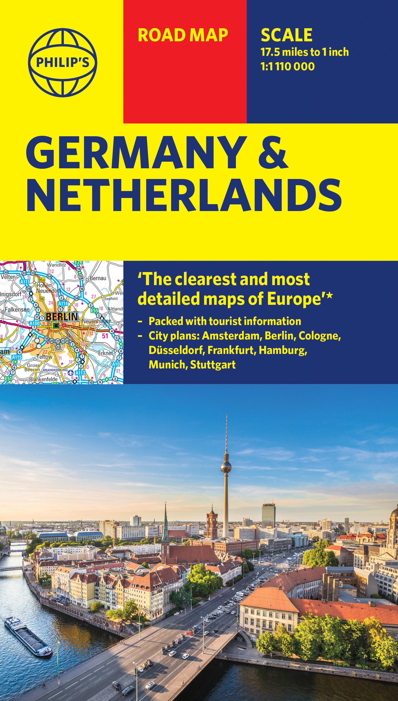
Philip's latest super-clear, double-sided road map of Germany and the Netherlands fully updated with the latest tourist, heritage and driving information.
PHILIP'S BEST-SELLING RANGE OF BRITISH AND EUROPEAN MAPS
'THE CLEAREST AND MOST DETAILED MAPS OF EUROPE' David Williams MBE, former CEO Gem Motoring Assist
The bestselling fold-out road map for navigating in Germany and the Netherlands has been updated for all travellers wanting to go places from Rotterdam to the Rhine. Whether driving through the most spectacular scenic routes the area has to offer along the Rhine or the Herengracht or planning your trip from Amsterdam to Berlin, this handy map has all you need.
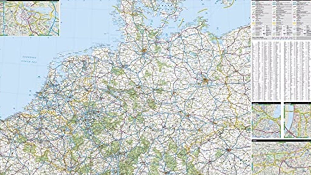
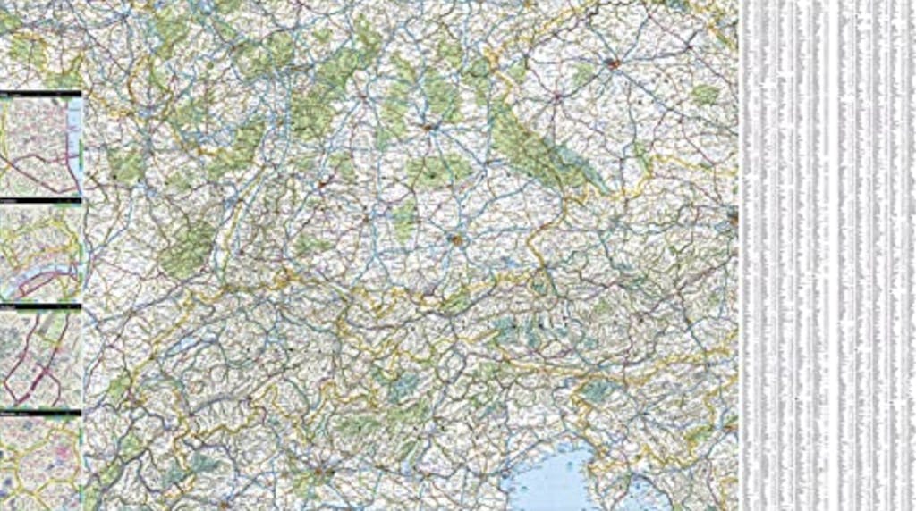
- Super-clear mapping scale 1:1,110,000 (17.5 miles to 1 inch)
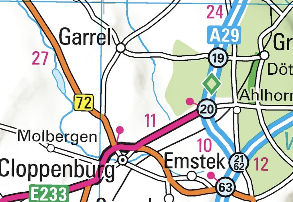
- Key driving information: motorways (toll, pre-pay and free), mountain passes, railways, canals, road numbers (European and local), plus distances between towns
- Fully revised and up-to-date with the latest tourist and leisure information
- Scenic routes clearly highlighted
- Places of interest added: from castles, heritage sites, lakes and national parks to theme parks, places of worship and ancient monuments
- Double-sided maps - more for your money and easier to use
- Detailed city plans Amsterdam, Berlin, Cologne, Dusseldorf, Frankfurt, Hamburg, Munich and Stuttgart
In fact, everything you need for your trip to Germany and the Netherlands.


Find a book you’ll love, get our Word Up newsletter
.png?auto=compress&w=150&h=60&fit=crop&fm=jpg)


.png?auto=compress&w=150&h=60&fit=crop&fm=jpg)
Hachette Australia acknowledges and pays our respects to the past, present and future Traditional Owners and Custodians of Country throughout Australia and recognises the continuation of cultural, spiritual and educational practices of Aboriginal and Torres Strait Islander peoples. Our head office is located on the lands of the Gadigal people of the Eora Nation.
