Imprint
- Philip's
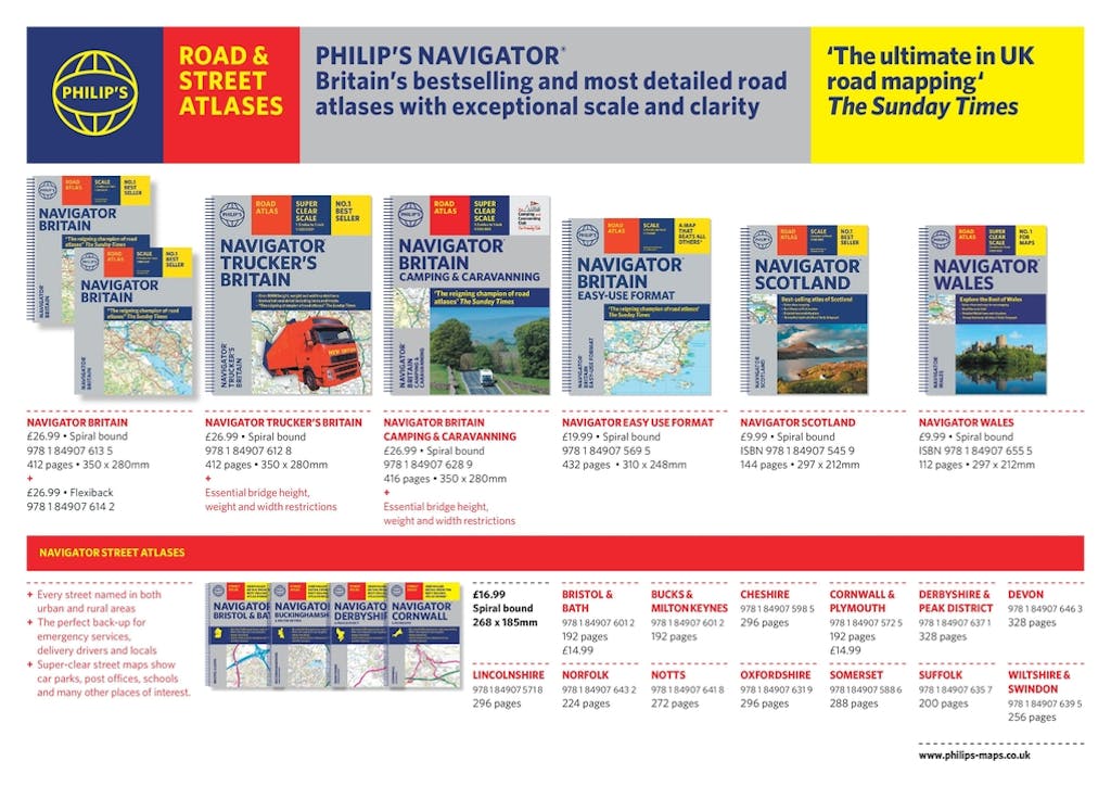
Prose: non-fiction, Travel maps & atlases, Road atlases & maps, Street maps & city plans
Gallery
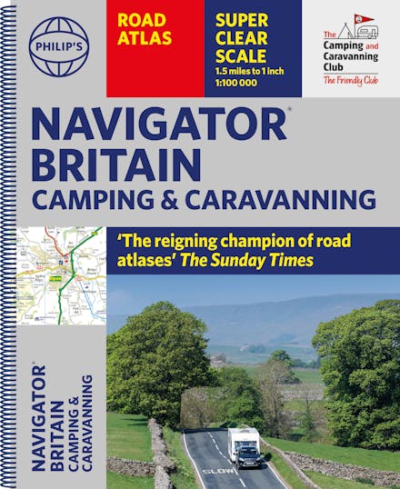
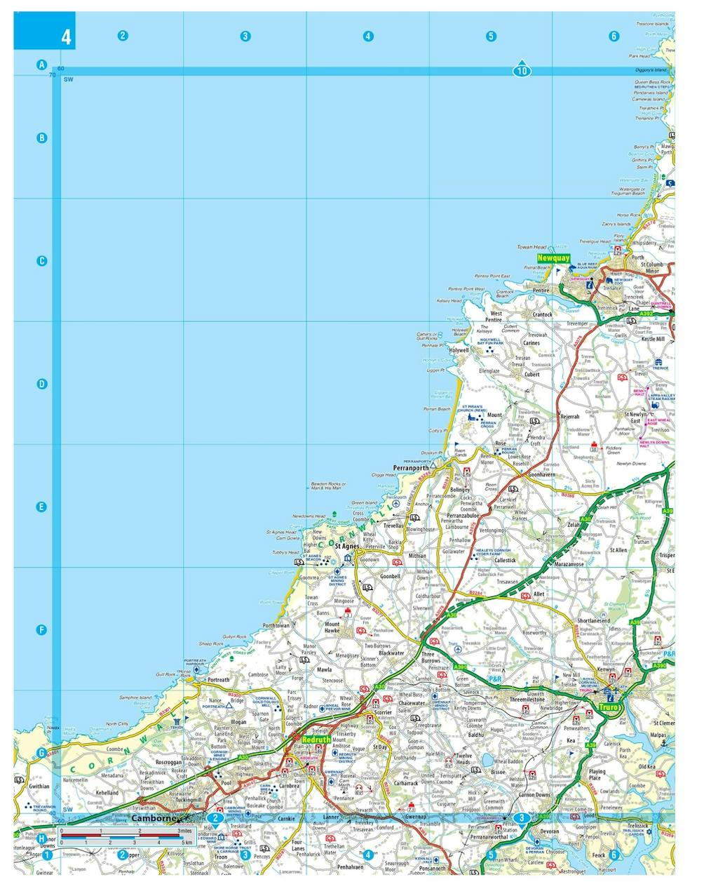
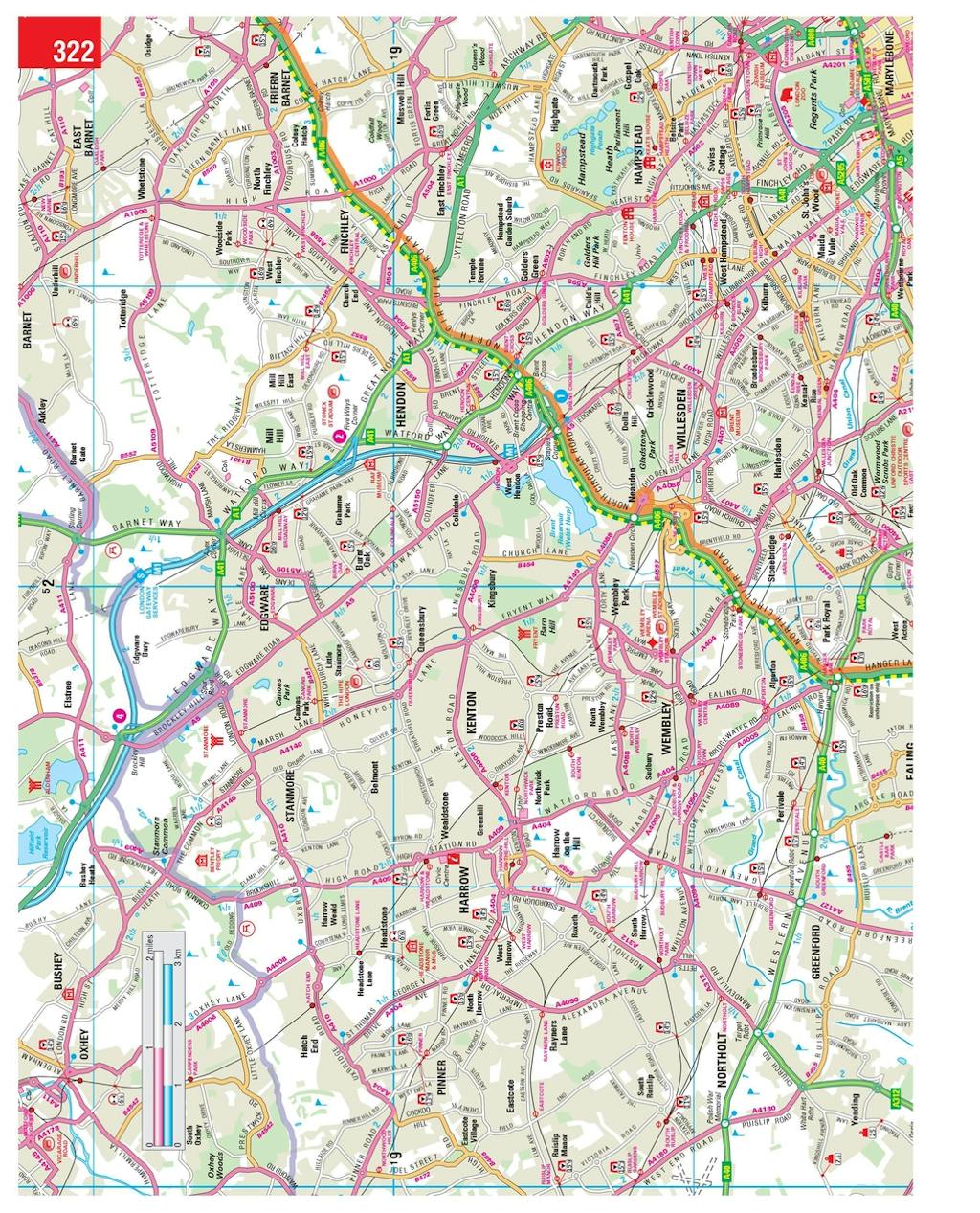
The latest edition of Philip's Navigator Camping and Caravanning Atlas of Britain is the must-have atlas for every camper and caravanning enthusiast. With over 1880 approved campsites listed and more than 7750 bridge restrictions clearly marked, the atlas also includes essential information from The Camping and Caravanning Club - The Friendly Club.
THE MUST-HAVE ATLAS OF BRITAIN FOR CAMPING, CARAVANNING AND MOTORHOMES
'A map that beats all others' - The Daily Telegraph
'Scale, accuracy and clarity are without parallel' - Driving Magazine
'No. 1 in the UK for clear maps' - Independent research survey
The lure of the open road and British countryside has never waned and the appeal of independent exploration has surely grown in recent years. However, the adventurous need practical information about what lies ahead - from bridge heights, widths and weights to places to stop and enjoy. Philip's Navigator Camping and Caravanning Atlas of Britain is the No. 1 Choice of Road Atlas for the independent travelling motorist and camper van owner.
* Scale: 1.5 miles to 1 inch = 1:100,000 (Northern Scotland: 3 miles to 1 inch = 1:200,000)
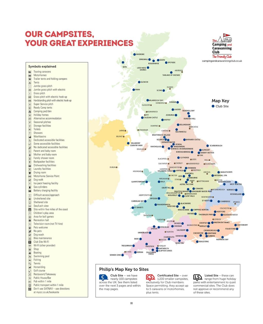
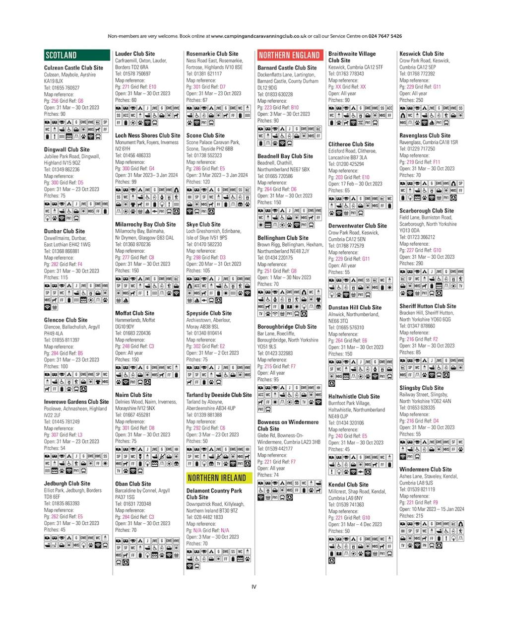
* Over 1,880 approved campsites located, plus essential advice from The Camping and Caravanning Club
* Includes essential information for caravanning motorists: 6000 bridge height limits, 1500 bridge weight limits and 260 bridge width limits
- No other road atlas of Britain offers this level of detail and clarity
- Britain's best road mapping in a great spiral format
- Every street in Britain is marked on the maps
- Over 3000 main roads named
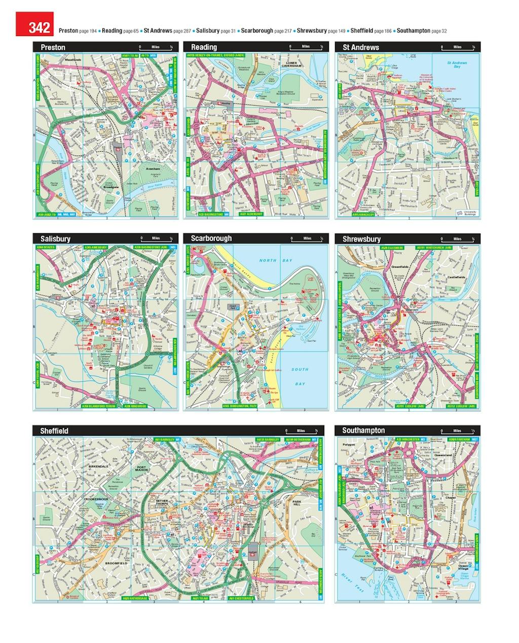
- 100 indexed town-centre maps plus approaches to 12 major urban areas
- Super-detailed 6-page route-planning section
- Exceptional road detail, from motorways to country lanes, with every junction, roundabout and slip-road shown
- Thousands of individually named farms, houses and hamlets
Philip's Navigator Camping and Caravanning Atlas of Britain includes a special feature by The Friendly Club, which is packed with essential camping and caravanning information.


Find a book you’ll love, get our Word Up newsletter
.png?auto=compress&w=150&h=60&fit=crop&fm=jpg)


.png?auto=compress&w=150&h=60&fit=crop&fm=jpg)
Hachette Australia acknowledges and pays our respects to the past, present and future Traditional Owners and Custodians of Country throughout Australia and recognises the continuation of cultural, spiritual and educational practices of Aboriginal and Torres Strait Islander peoples. Our head office is located on the lands of the Gadigal people of the Eora Nation.
