Imprint
- Philip's
- Philip's
Travel maps & atlases, Street maps & city plans
Gallery
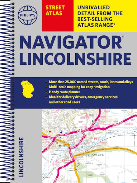
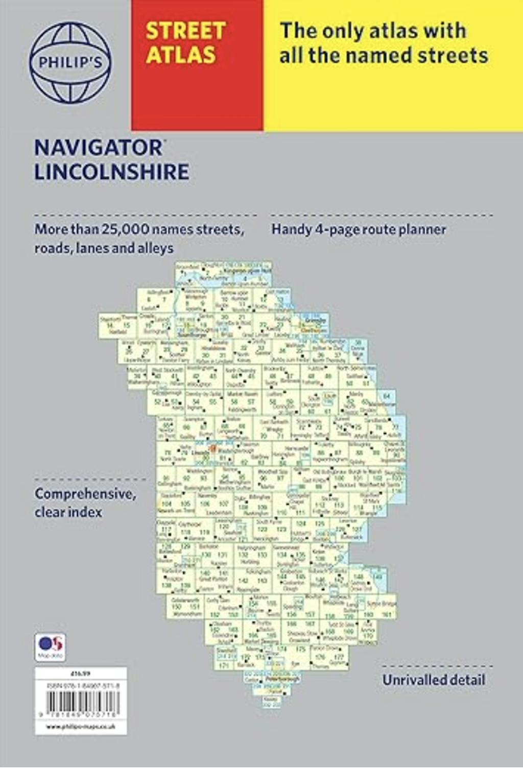
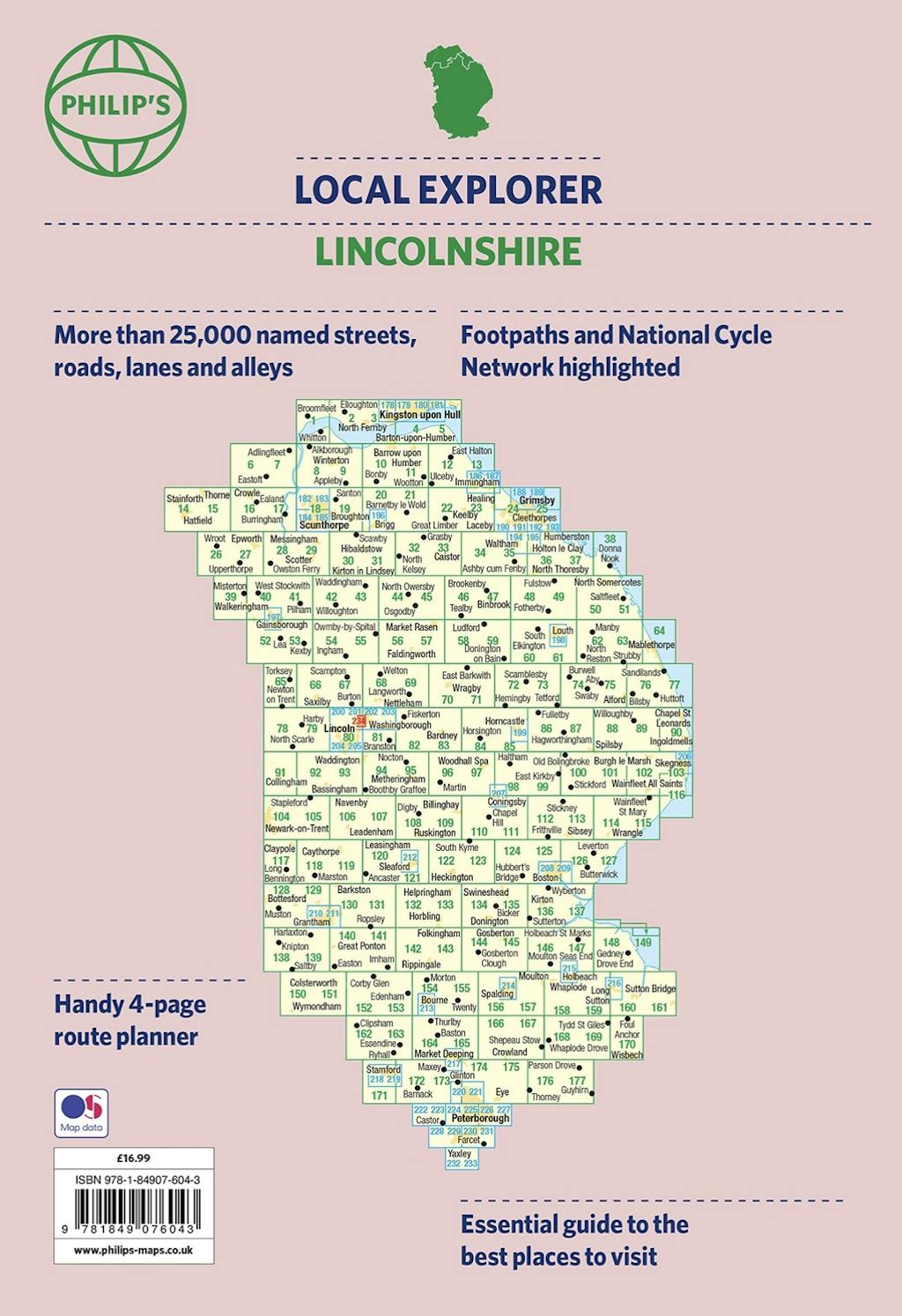
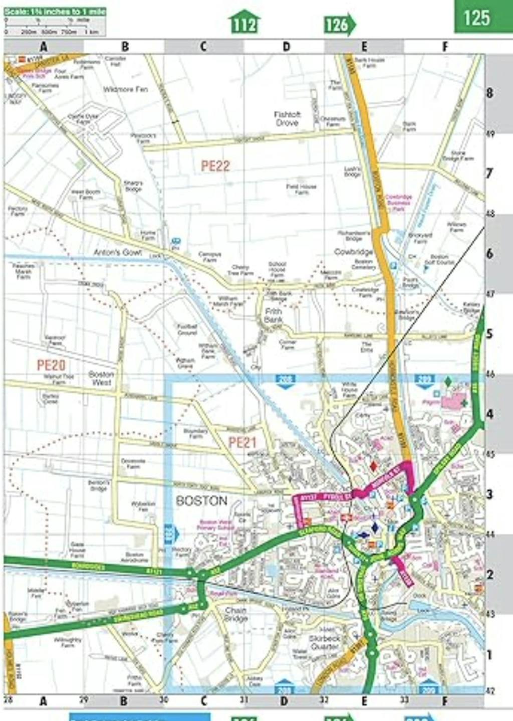
The only detailed colour atlas that gives comprehensive coverage of the entire region - no other atlas names every street in Lincolnshire. The perfect back-up for emergency services, delivery drivers and locals.
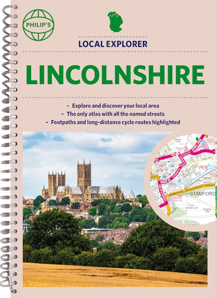
The only county Street Atlas with all the named streets of Lincolnshire and perfect back-up for emergency services, delivery drivers, visitors and locals.
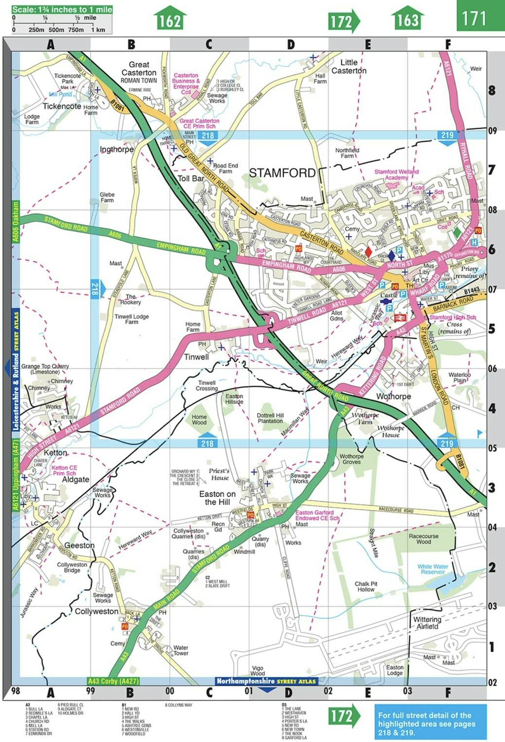
With more than 24,000 named streets, roads, lanes and alleys, this is the essential map book for residents and visitors - especially if you're in a hurry.
Includes all the streets in BOSTON, GRANTHAM, GRIMSBY, LINCOLN, PETERBOROUGH, SCUNTHORPE, Alford, Barton-upon-Humber, Bourne, Brigg, Chapel St Leonards, Cleethorpes, Coningsby, Gainsborough, Holbeach, Horncastle, Immingham, Long Sutton, Louth, Mablethorpe, Market Deeping, Market Rasen, Skegness, Sleaford, Spalding, Spilsby, Stamford.
- Street mapping clearly shows car parks, stations, schools, hospitals and many places of interest, even those off the beaten path
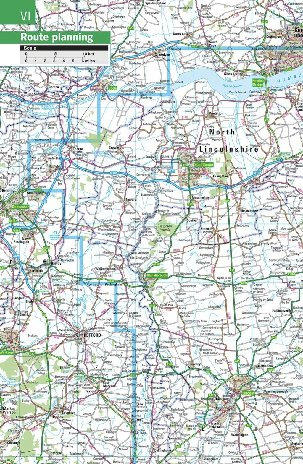
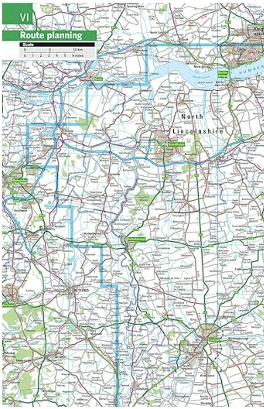
- A practical route-planning section showing all A and B roads
- Super-clear mapping
- Easy-to-use index
- Scales: 1 inches to 1 mile (1:36,000) and 3 inches to 1 mile (1:18,000). Major towns: 7 inches to 1 mile (1:9,000).
Other information on the maps includes postcode boundaries, car parks, railway and bus stations, post offices, schools, colleges, hospitals, police and fire stations, places of worship, leisure centres, footpaths and bridleways, camping and caravan sites, golf courses, and many other places of interest.


Find a book you’ll love, get our Word Up newsletter

.png?auto=compress&w=150&h=60&fit=crop&fm=jpg)

.png?auto=compress&w=150&h=60&fit=crop&fm=jpg)

Hachette Australia acknowledges and pays our respects to the past, present and future Traditional Owners and Custodians of Country throughout Australia and recognises the continuation of cultural, spiritual and educational practices of Aboriginal and Torres Strait Islander peoples. Our head office is located on the lands of the Gadigal people of the Eora Nation.
