Imprint
- Philip's
Prose: non-fiction, Road atlases & maps
Gallery
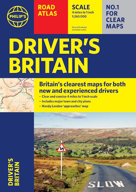
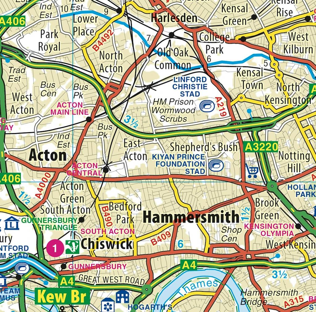
Perfect for new drivers and the more experienced motorist, this great value Driver's Road Atlas has been fully updated with Britain's clearest and most detailed mapping from Philip's.
PHILIP'S: BRITAIN'S CLEAREST MAPS FOR NEW DRIVERS AND EXPERIENCED MOTORISTS ALIKE
- Clear 4 miles to 1 inch maps - fully updated for easy driving
- Superb detail for journey planning and leisure activities
- London street plan plus 47 town and city centre plans
- Route planner, distance table and London approaches map
- Excellent value for money at only 9.99
Philip's Driver's Atlas Britain is an excellent value, concise paperback atlas containing all the map features normally included only in the more expensive road atlases. The front section has a route planner, key to map symbols, London approaches, plus a key map and distance table.
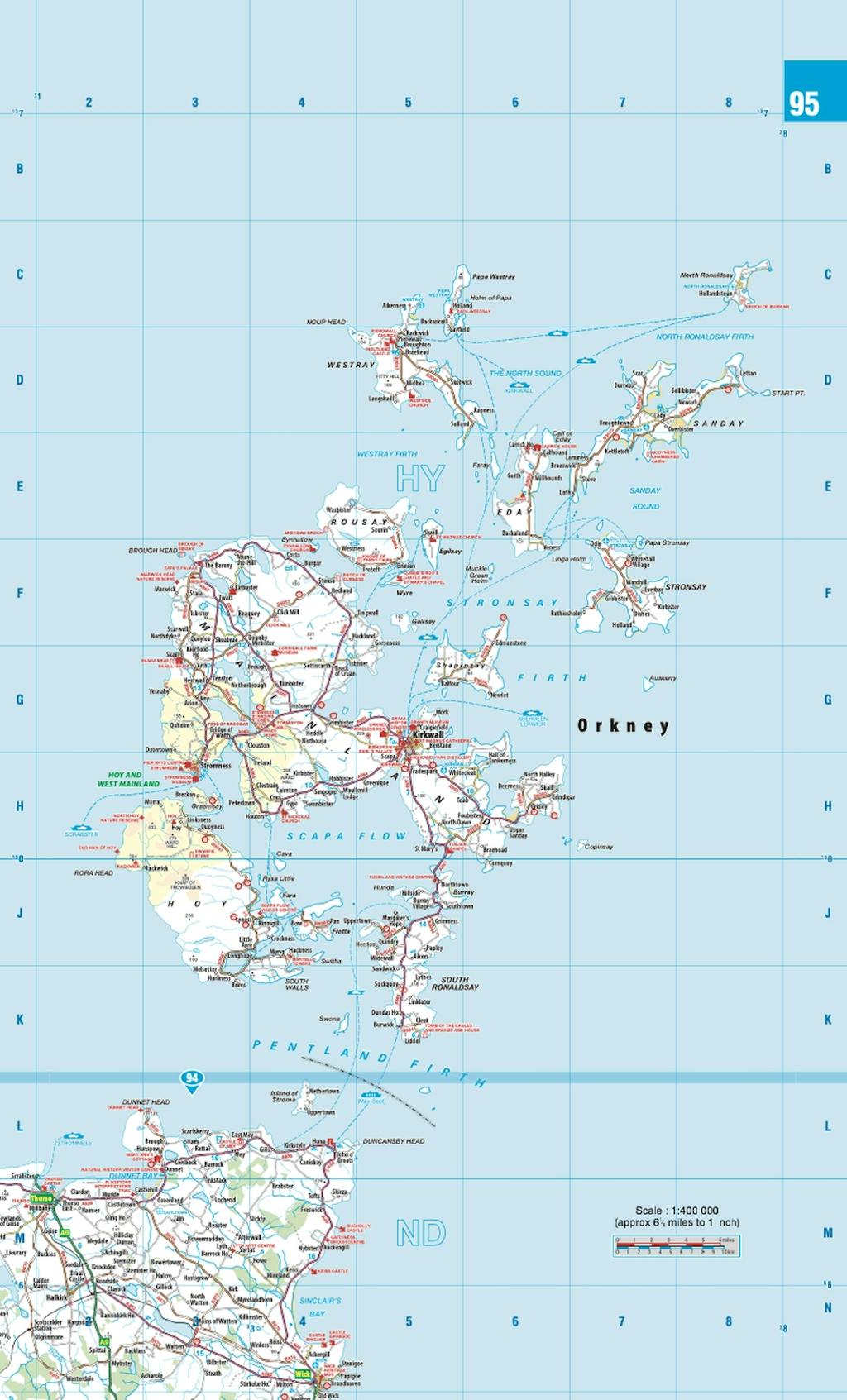
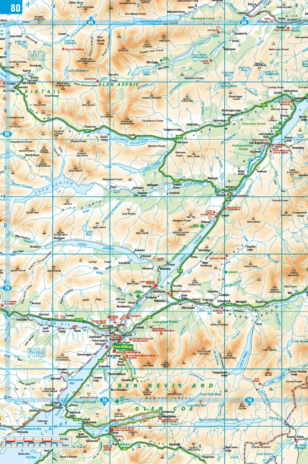
For easy navigating the atlas covers all of Britain at 4 miles to 1 inch (parts of Scotland at 5 miles to 1 inch, Orkney and Shetland at 6 miles to 1 inch). The maps clearly mark service areas, roundabouts and multi-level junctions, and in rural areas distinguish between roads over and under 4 metres wide - a boon for drivers of wide vehicles.
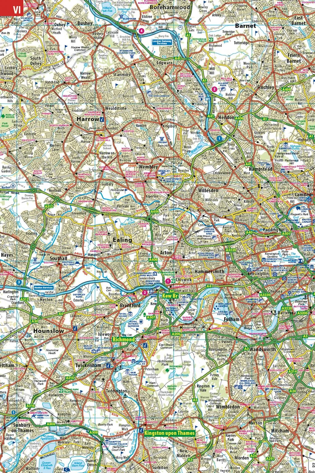
The town plan section includes a street plan of London plus 47 town and city centre maps, marking car parks and places of interest.
Completing the atlas is a huge index of 28,000 place names, so you can always find your desired destination.


Find a book you’ll love, get our Word Up newsletter

.png?auto=compress&w=150&h=60&fit=crop&fm=jpg)

.png?auto=compress&w=150&h=60&fit=crop&fm=jpg)

Hachette Australia acknowledges and pays our respects to the past, present and future Traditional Owners and Custodians of Country throughout Australia and recognises the continuation of cultural, spiritual and educational practices of Aboriginal and Torres Strait Islander peoples. Our head office is located on the lands of the Gadigal people of the Eora Nation.
