


Imprint
- Philip's
- Philip's
- Philip's
- Philip's
United Kingdom, Great Britain, Geography, Travel maps & atlases, Road atlases & maps, Street maps & city plans
-
Imprint
Philip's
- Paperback Jul 9, 2024 | 9781849076616 | RRP $39.99 Pre-Order
- Paperback Jun 14, 2022 | 9781849075954 | RRP $39.99 Buy Now
- Jul 9, 2024 | 9781849076623 | RRP $39.99 Pre-Order
- May 30, 2023 | 9781849076265 | RRP $45.00 Buy Now
-
Imprint
Philip's
- Paperback Jul 9, 2024 | 9781849076616 | RRP $39.99 Pre-Order
- Paperback Jun 14, 2022 | 9781849075954 | RRP $39.99 Buy Now
- Jul 9, 2024 | 9781849076623 | RRP $39.99 Pre-Order
- May 30, 2023 | 9781849076265 | RRP $45.00 Buy Now
-
Imprint
Philip's
- Paperback Jul 9, 2024 | 9781849076616 | RRP $39.99 Pre-Order
- Paperback Jun 14, 2022 | 9781849075954 | RRP $39.99 Buy Now
- Jul 9, 2024 | 9781849076623 | RRP $39.99 Pre-Order
- May 30, 2023 | 9781849076265 | RRP $45.00 Buy Now
-
Imprint
Philip's
- Paperback Jul 9, 2024 | 9781849076616 | RRP $39.99 Pre-Order
- Paperback Jun 14, 2022 | 9781849075954 | RRP $39.99 Buy Now
- Jul 9, 2024 | 9781849076623 | RRP $39.99 Pre-Order
- May 30, 2023 | 9781849076265 | RRP $45.00 Buy Now
Gallery
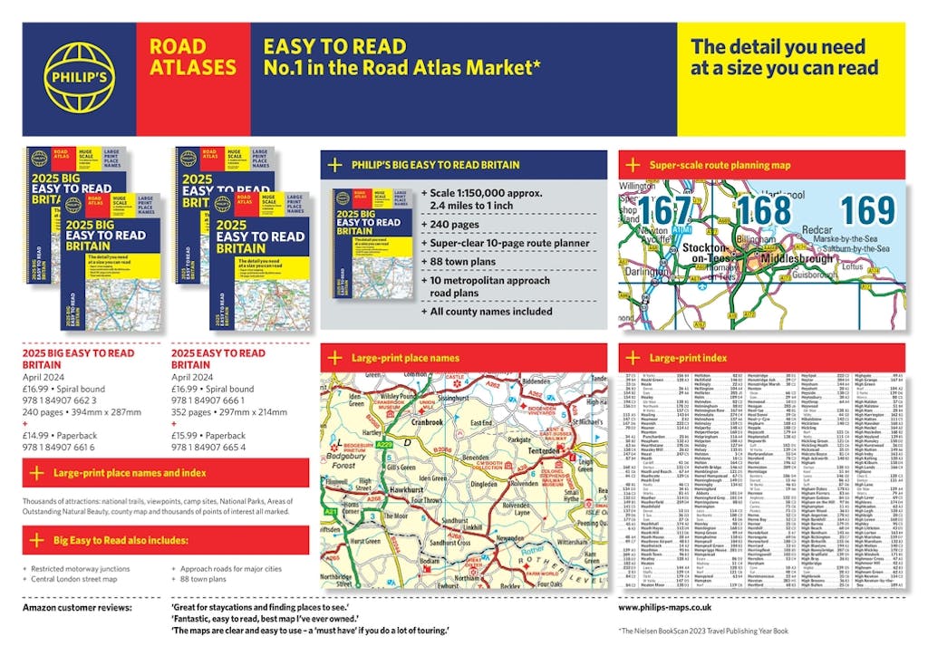
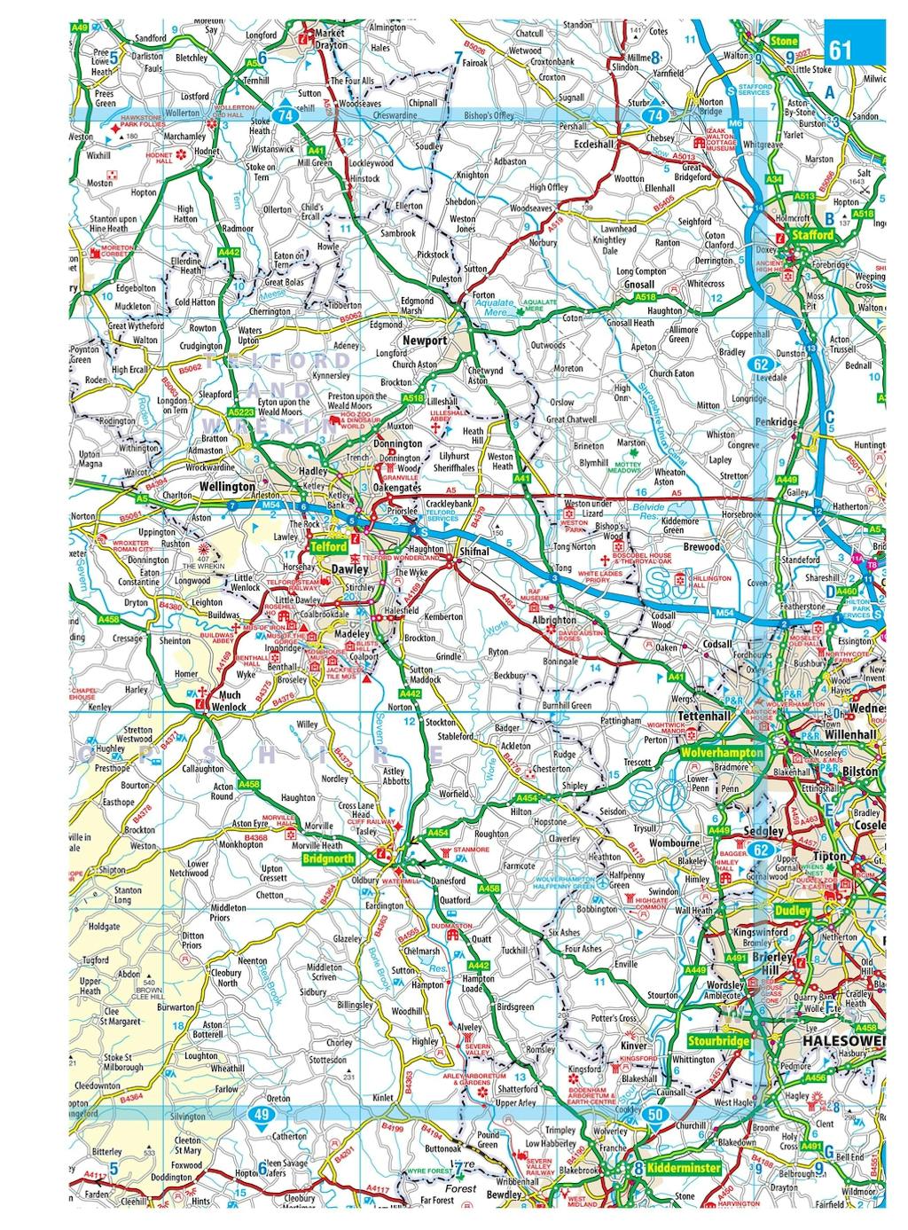
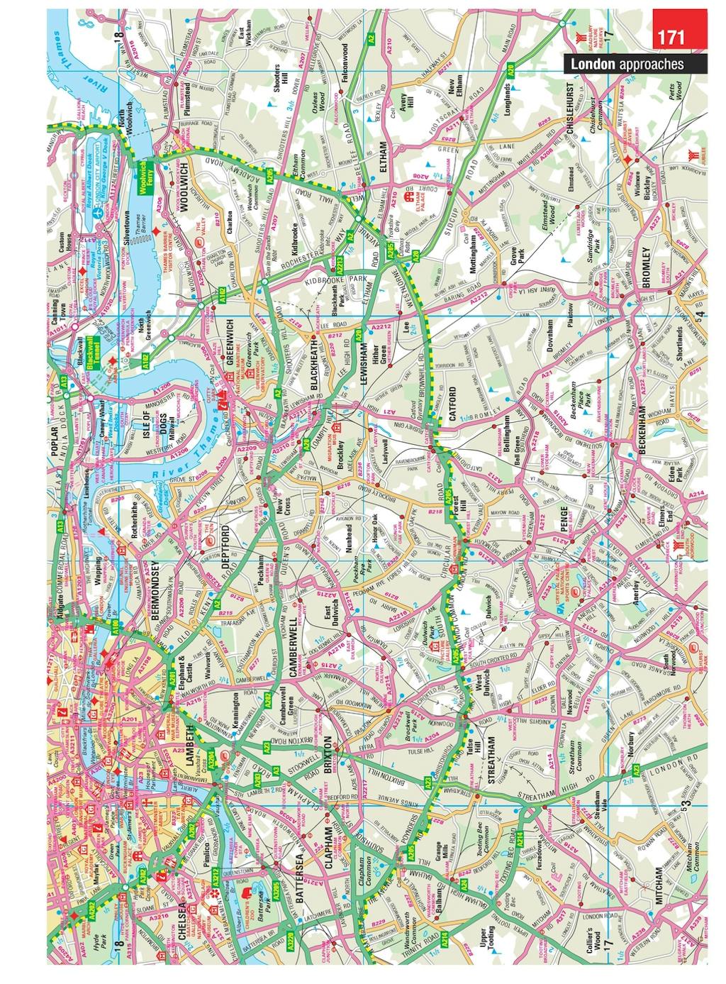
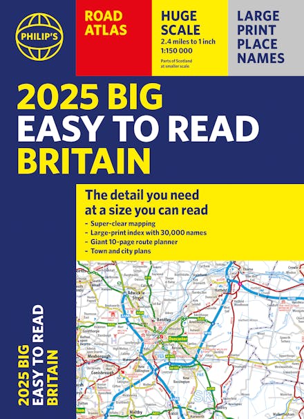
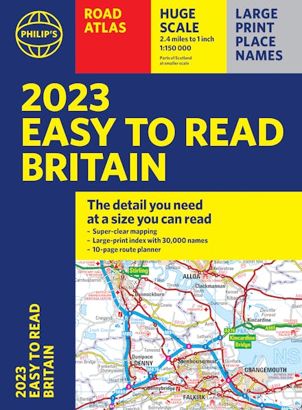
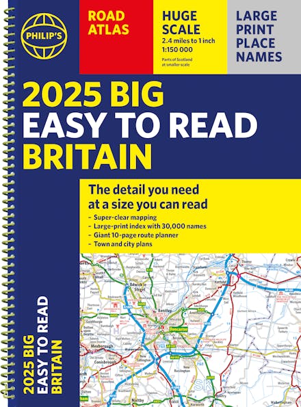
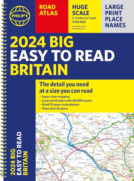
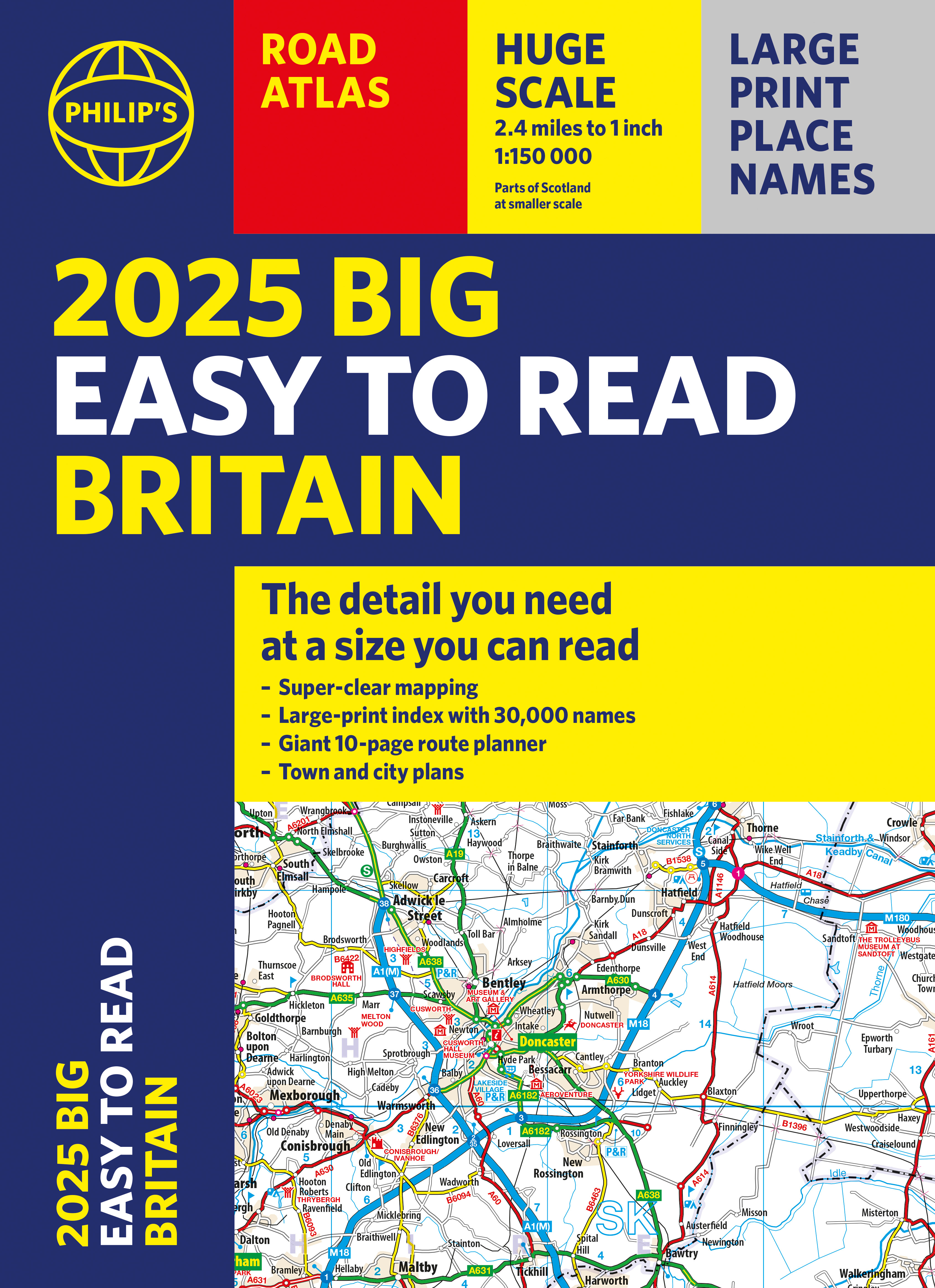
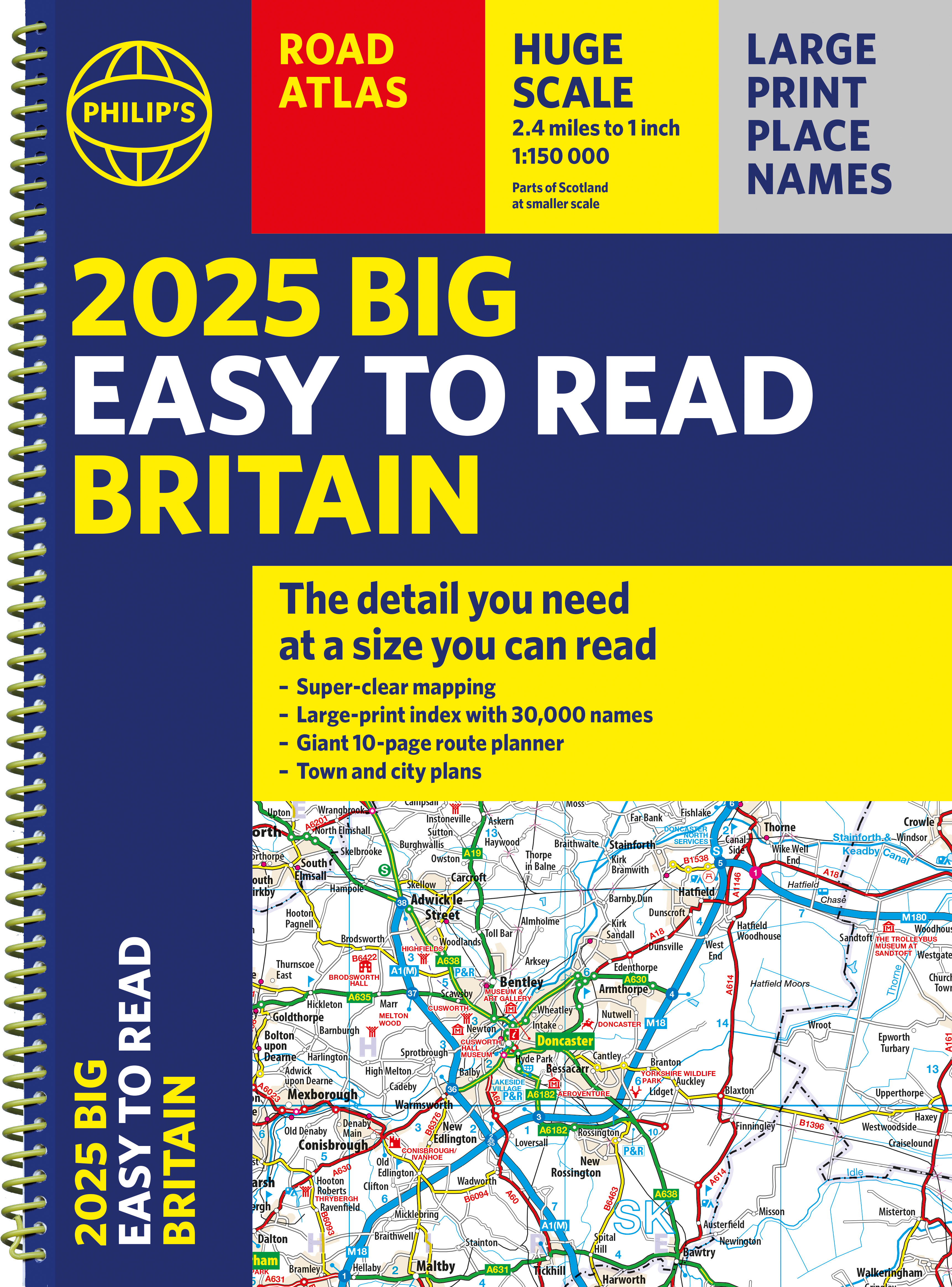
With the detail you need at a size you can read, the latest edition of 2025 Philip's Big Easy to Read Road Atlas of Britain is super-clear, super-sized and bang up-to-date in a large paperback format.
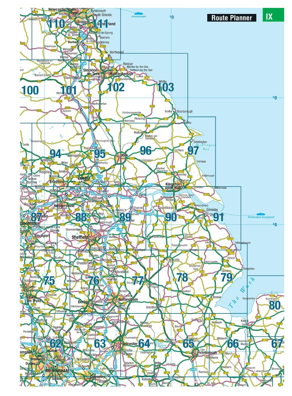
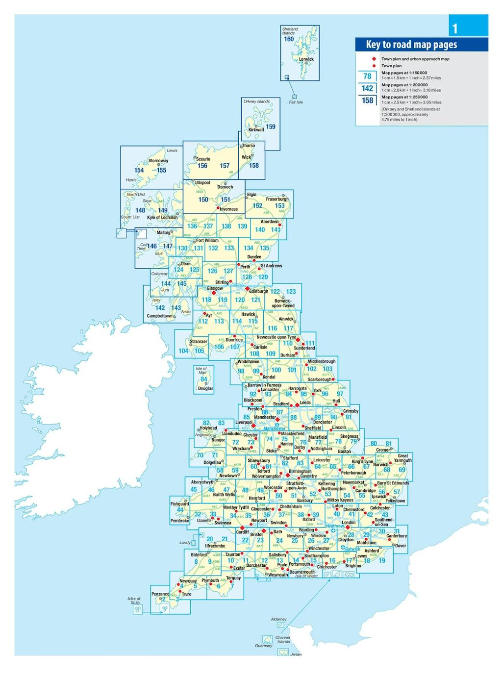
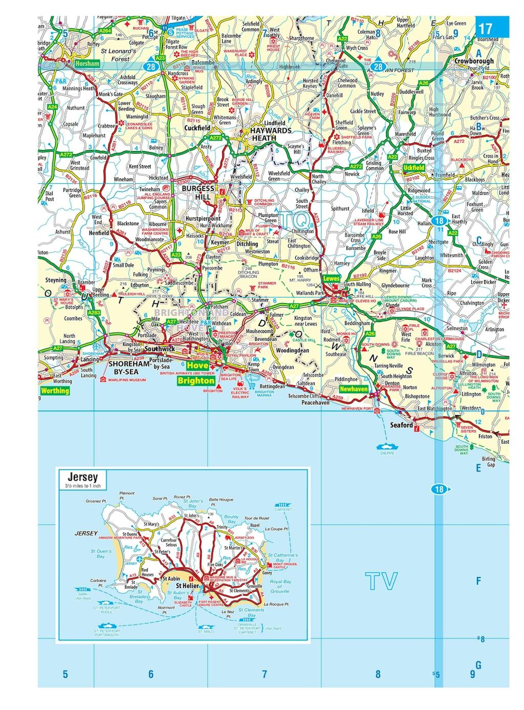
Huge 1:150,000 scale (approx 2.4 miles to 1 inch)
Large super-sized pages (A3)
Large print place names, and large scale maps
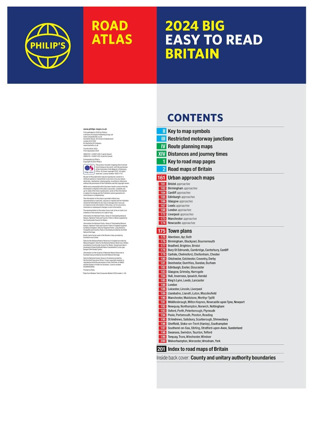
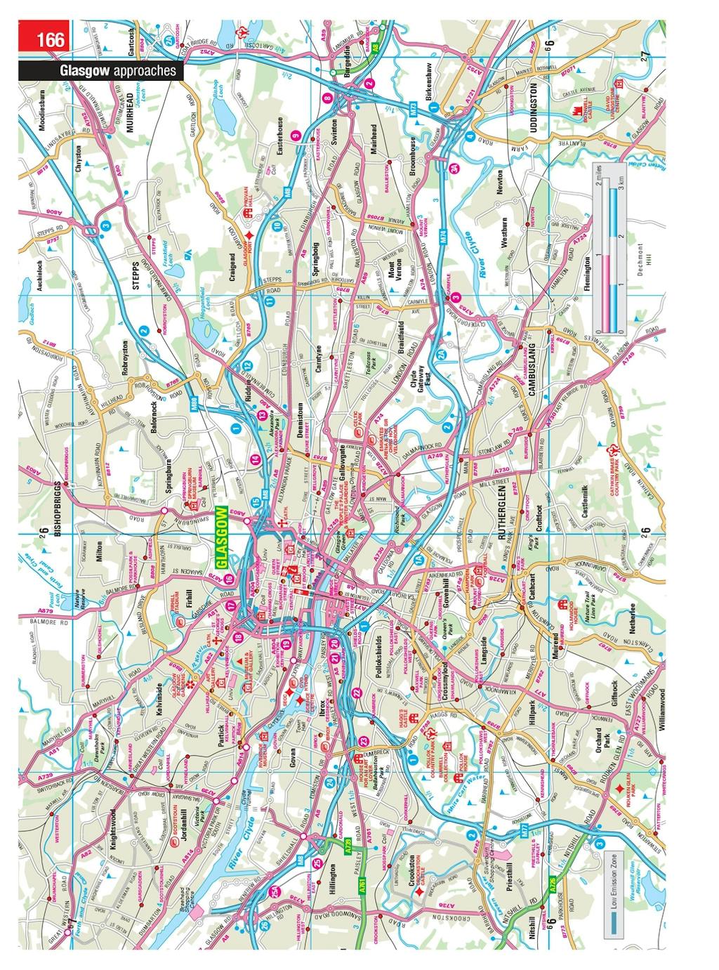
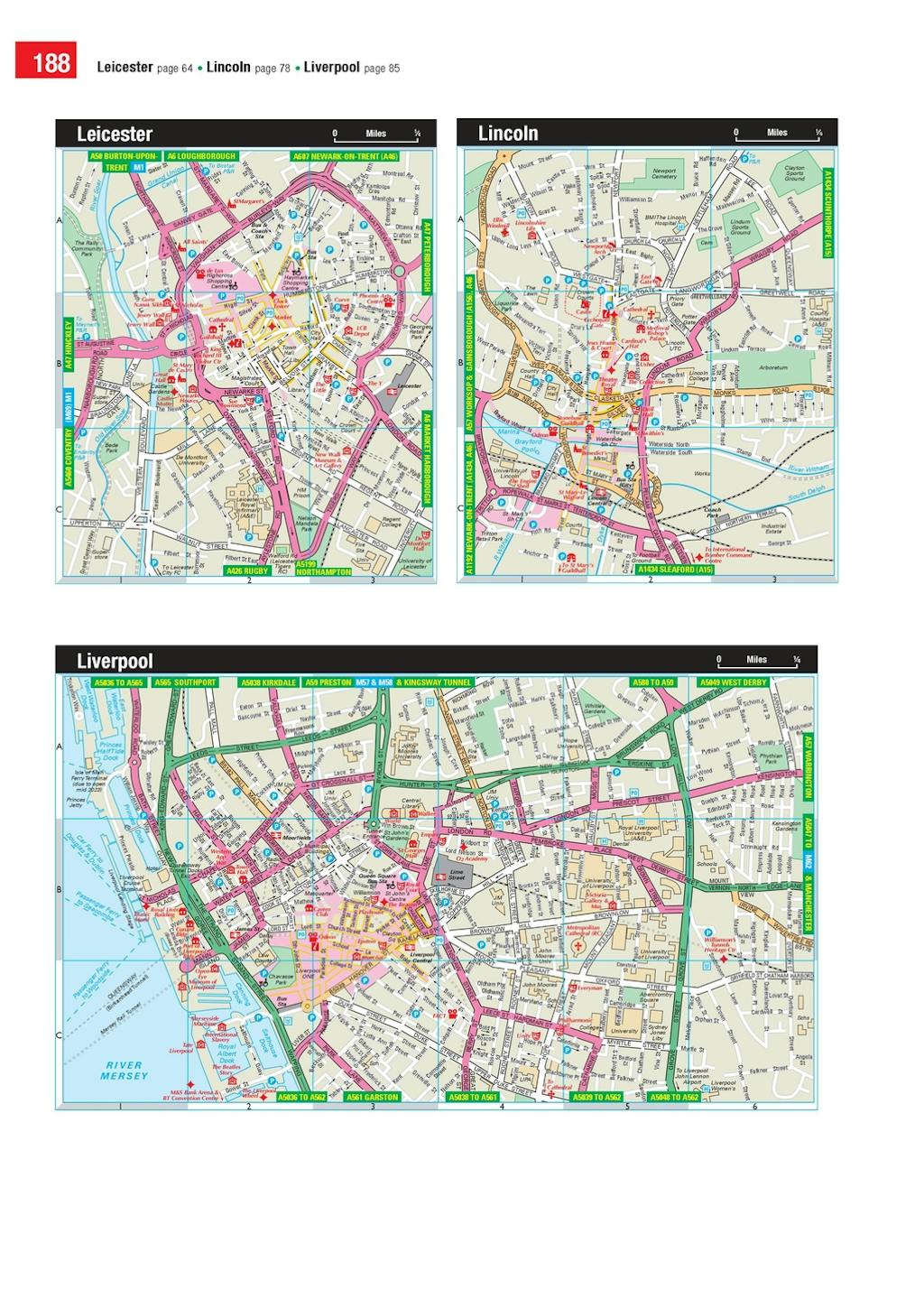
88 detailed town plans for easy navigation
Clear road colours, which are easier to read in the dark
Thousands of attractions clearly mapped
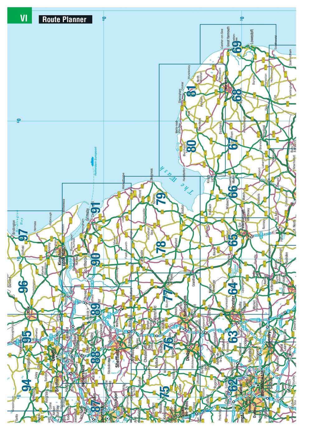
Special route planner section for arranging the best trips
Large print approach maps for all major cities
Durable paperback format
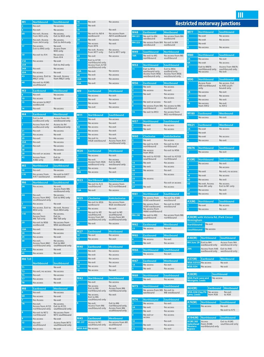
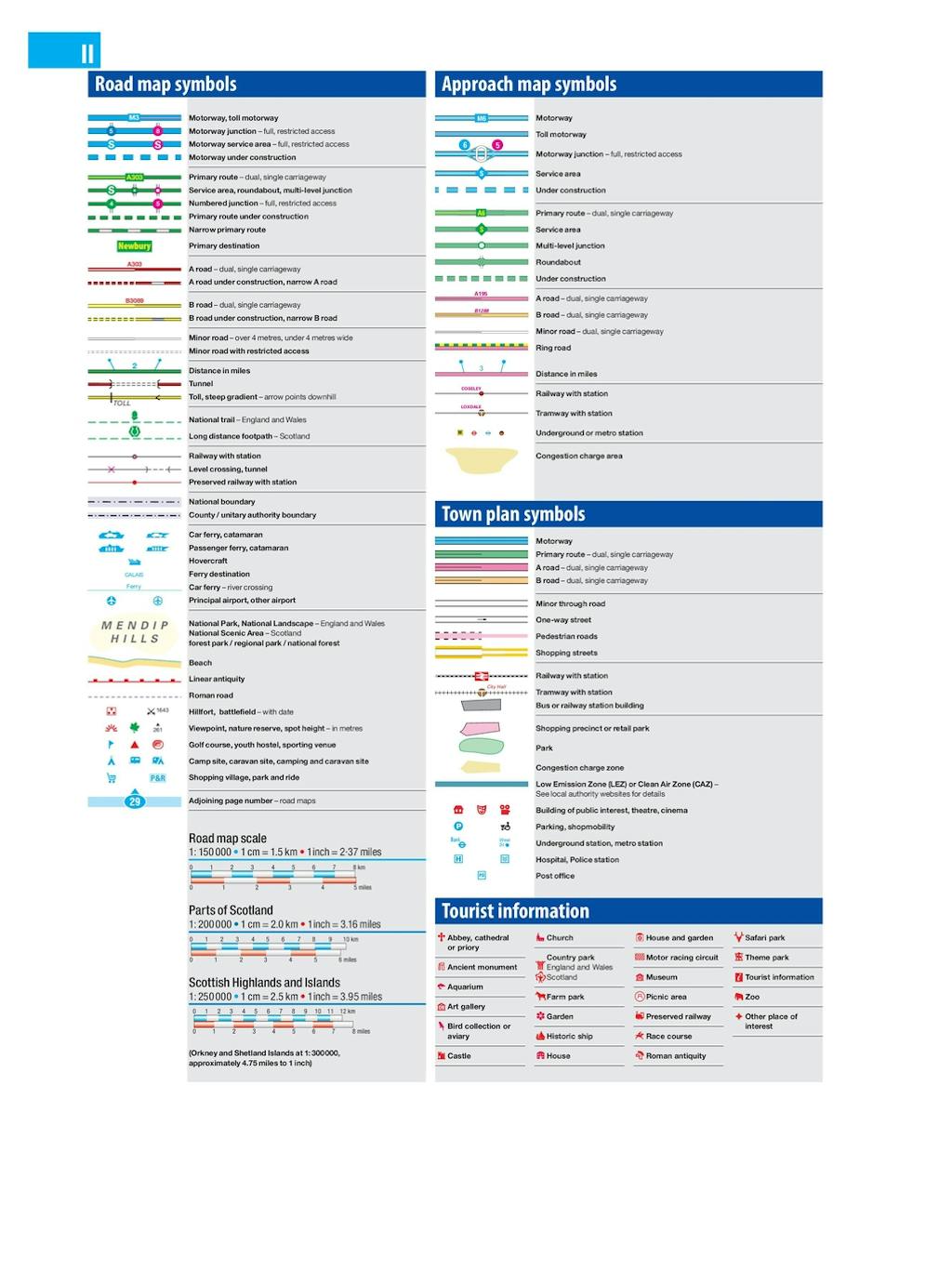
At last, a road atlas that everyone can read easily in or out of the car, no matter what the conditions. Restricted motorway information, a distance chart, and clearly labelled places of interest are just some of the features within this bestselling road atlas of Britain. Whether it's getting dark, or you just can't find your glasses, 2025 Philip's Big Easy to Read Road Atlas of Britain is the ultimate road companion.


Praise for Philip's Big Easy to Read Britain Road Atlas
-
The clearest and most detailed maps of Europe - David Williams MBE, former CEO Gem Motoring Assist
-
The best of its kind with quick, easy-to-use information - Fleet Week


Find a book you’ll love, get our Word Up newsletter
.png?auto=compress&w=150&h=60&fit=crop&fm=jpg)


.png?auto=compress&w=150&h=60&fit=crop&fm=jpg)
Hachette Australia acknowledges and pays our respects to the past, present and future Traditional Owners and Custodians of Country throughout Australia and recognises the continuation of cultural, spiritual and educational practices of Aboriginal and Torres Strait Islander peoples. Our head office is located on the lands of the Gadigal people of the Eora Nation.
