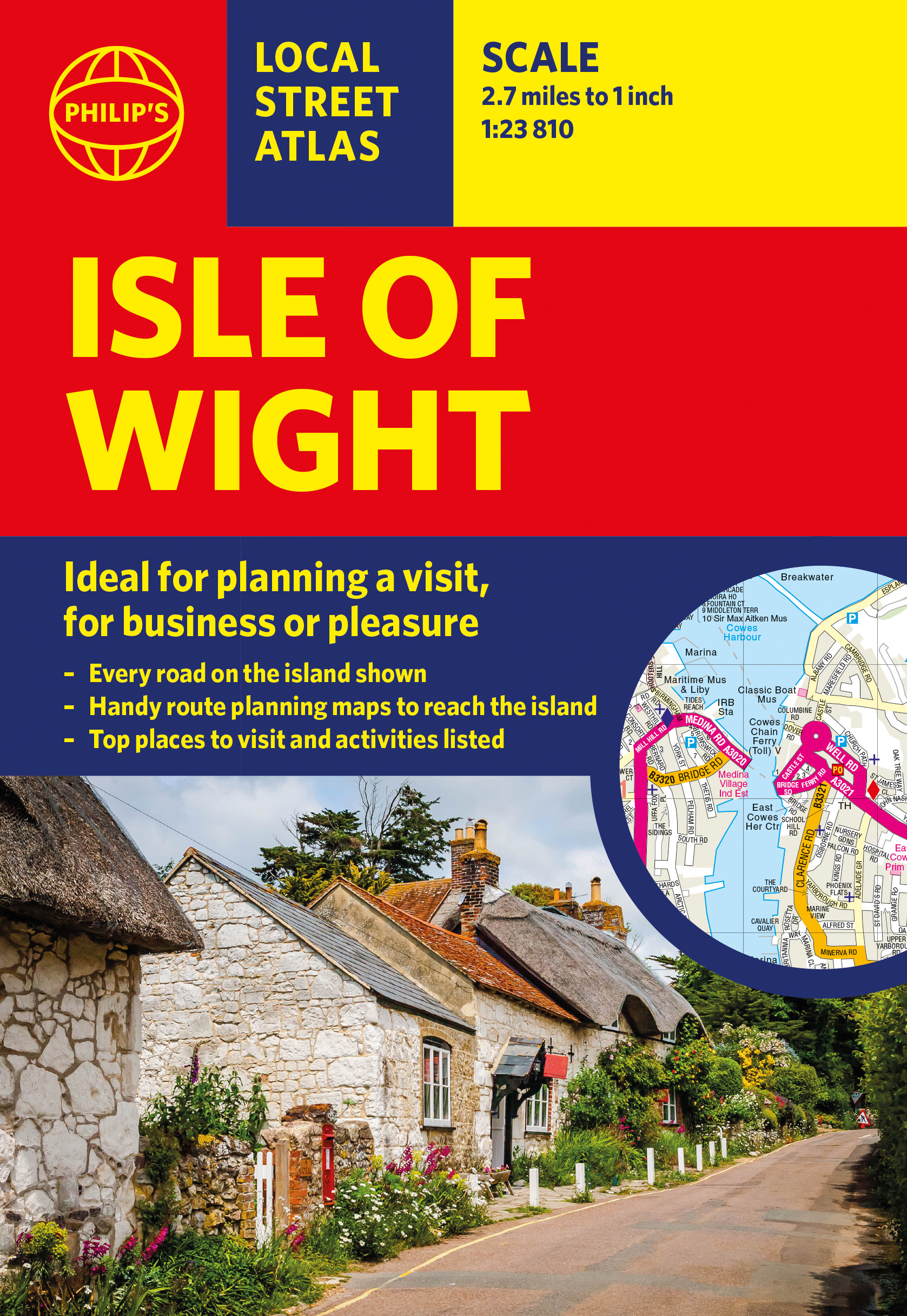
Imprint
- Philip's
Philip's Red Books, Travel maps & atlases, Street maps & city plans
Gallery
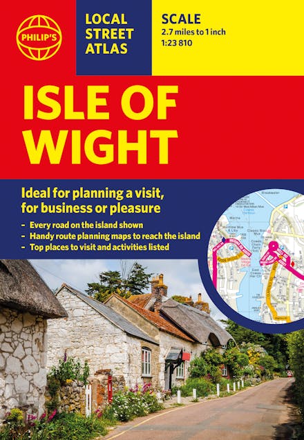
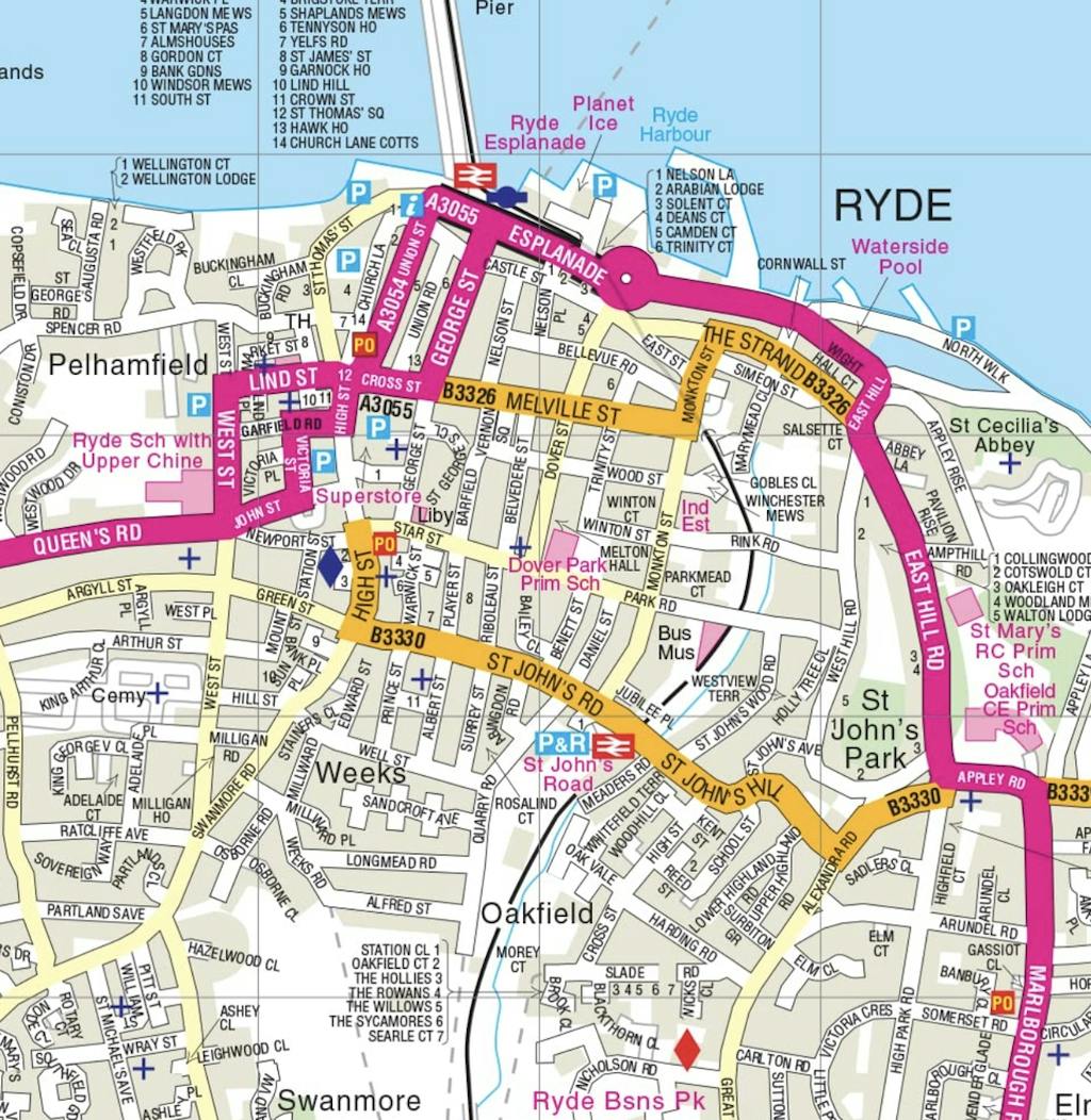
This pocket-sized street atlas of the Isle of Wight gives detailed coverage of the whole of the island and mainland towns nearby.
This pocket-sized street atlas of the Isle of Wight gives detailed coverage of the whole of the island.
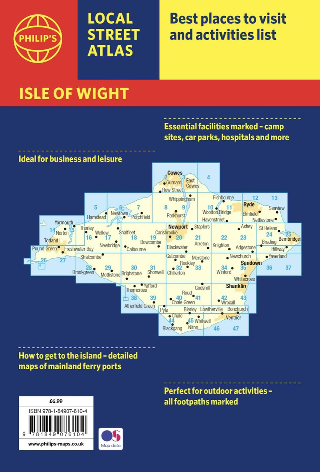
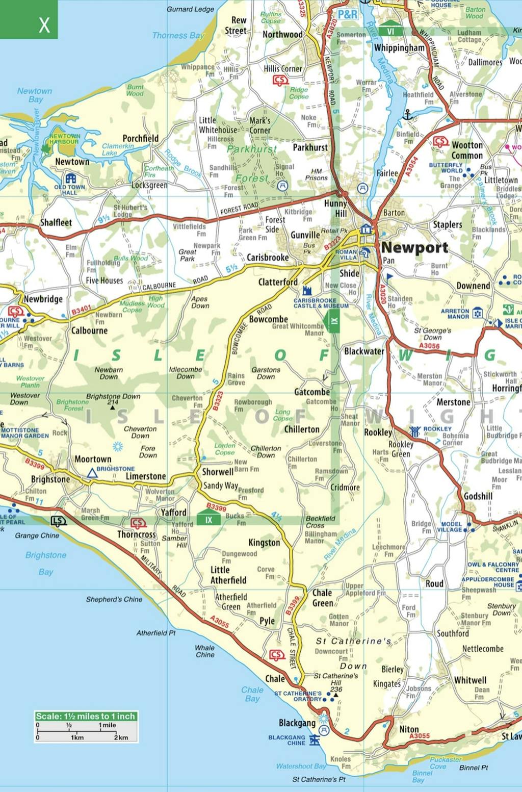
This local street atlas of the Isle of Wight gives detailed coverage of the whole of the island at a scale of 2 2/3 inches to 1 mile. Important for ferry links to the Isle of Wight, the mainland towns of Southampton, Gosport, Lymington and Portsmouth are included at the same scale. Central Portsmouth is also shown at the enlarged scale of 5 1/3 inches to 1 mile.
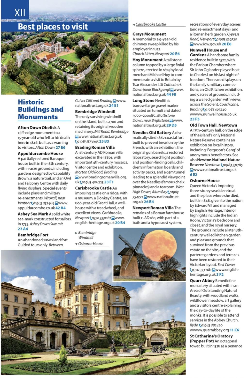
Full of useful tourist information and all the sights and activities available on the Isle of Wight, the maps also show hospitals, car parks, post offices, leisure facilities, schools, industrial areas and retail areas, while the index lists street names and postcodes.
Extra contents include an 8-page route-planner, marking all major and minor roads on the island together with an area on the mainland taking in the New Forest to the west and Emsworth to the east, plus a 4-page guide to the top visitor attractions.
Pocket sized, the atlas is ideally suited for both business and leisure use, whether by locals or visitors.


Find a book you’ll love, get our Word Up newsletter
.png?auto=compress&w=150&h=60&fit=crop&fm=jpg)
.png?auto=compress&w=150&h=60&fit=crop&fm=jpg)


Hachette Australia acknowledges and pays our respects to the past, present and future Traditional Owners and Custodians of Country throughout Australia and recognises the continuation of cultural, spiritual and educational practices of Aboriginal and Torres Strait Islander peoples. Our head office is located on the lands of the Gadigal people of the Eora Nation.
