


Imprint
- Philip's
- Philip's
- Philip's
- Philip's
Philips Road Atlas, Europe, Prose: non-fiction, Travel maps & atlases, Road atlases & maps
-
Imprint
Philip's
- Paperback Jul 9, 2024 | 9781849076593 | RRP $39.99 Pre-Order
- Paperback Jul 12, 2022 | 9781849075558 | RRP $39.99 Buy Now
- Jul 9, 2024 | 9781849076609 | RRP $45.00 Pre-Order
- Aug 30, 2022 | 9781849075541 | RRP $39.99 Buy Now
-
Imprint
Philip's
- Paperback Jul 9, 2024 | 9781849076593 | RRP $39.99 Pre-Order
- Paperback Jul 12, 2022 | 9781849075558 | RRP $39.99 Buy Now
- Jul 9, 2024 | 9781849076609 | RRP $45.00 Pre-Order
- Aug 30, 2022 | 9781849075541 | RRP $39.99 Buy Now
-
Imprint
Philip's
- Paperback Jul 9, 2024 | 9781849076593 | RRP $39.99 Pre-Order
- Paperback Jul 12, 2022 | 9781849075558 | RRP $39.99 Buy Now
- Jul 9, 2024 | 9781849076609 | RRP $45.00 Pre-Order
- Aug 30, 2022 | 9781849075541 | RRP $39.99 Buy Now
-
Imprint
Philip's
- Paperback Jul 9, 2024 | 9781849076593 | RRP $39.99 Pre-Order
- Paperback Jul 12, 2022 | 9781849075558 | RRP $39.99 Buy Now
- Jul 9, 2024 | 9781849076609 | RRP $45.00 Pre-Order
- Aug 30, 2022 | 9781849075541 | RRP $39.99 Buy Now
Gallery
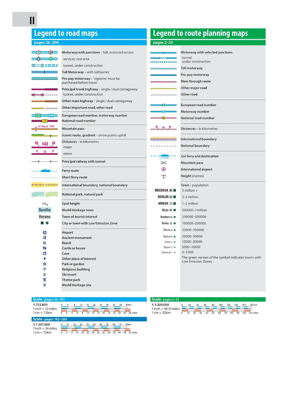
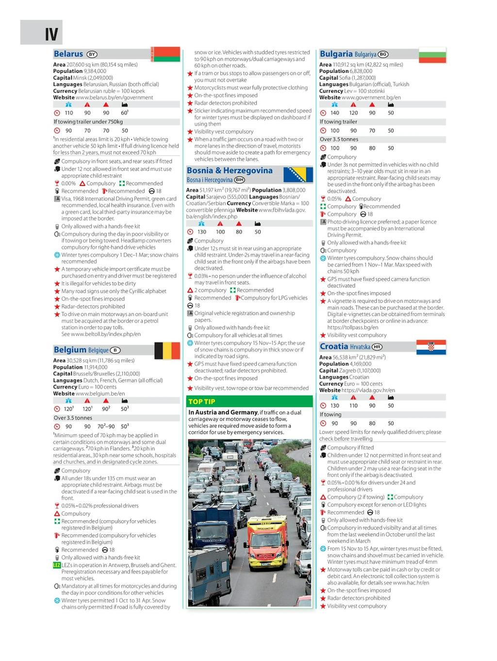
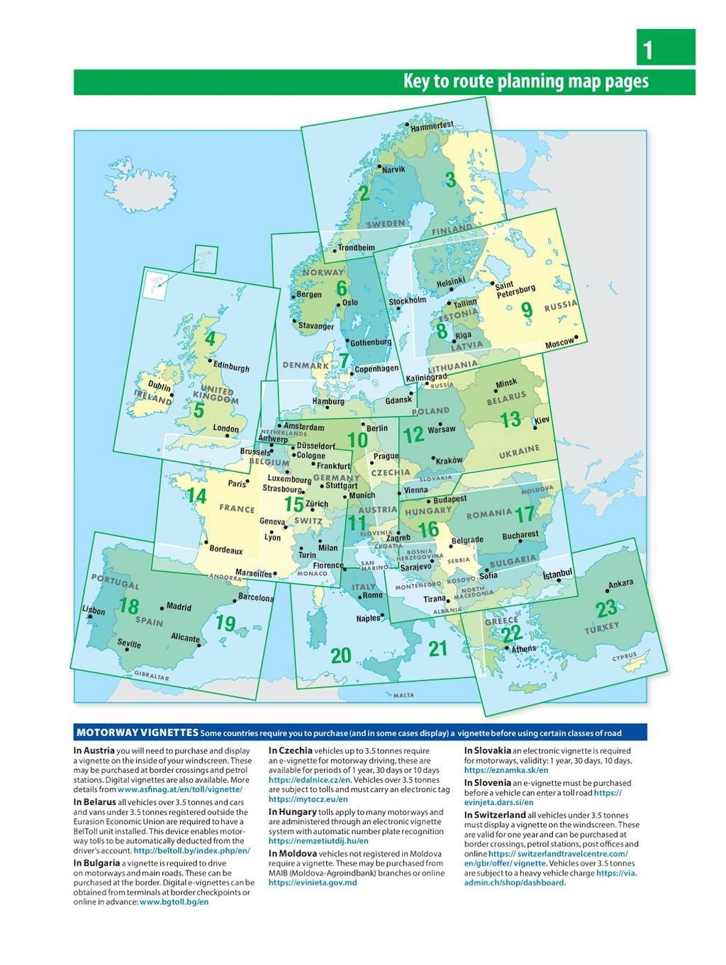
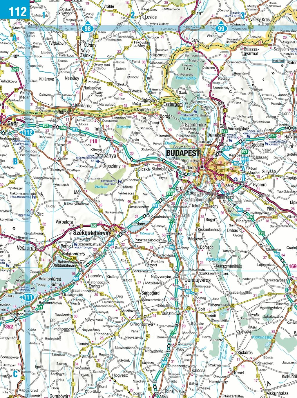
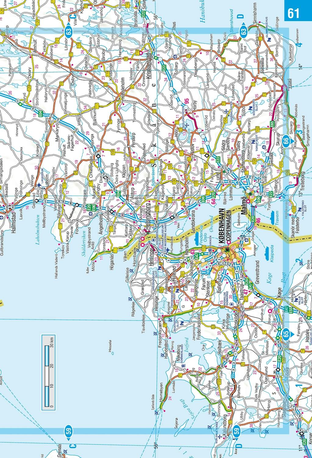
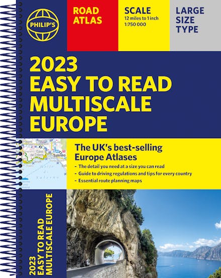
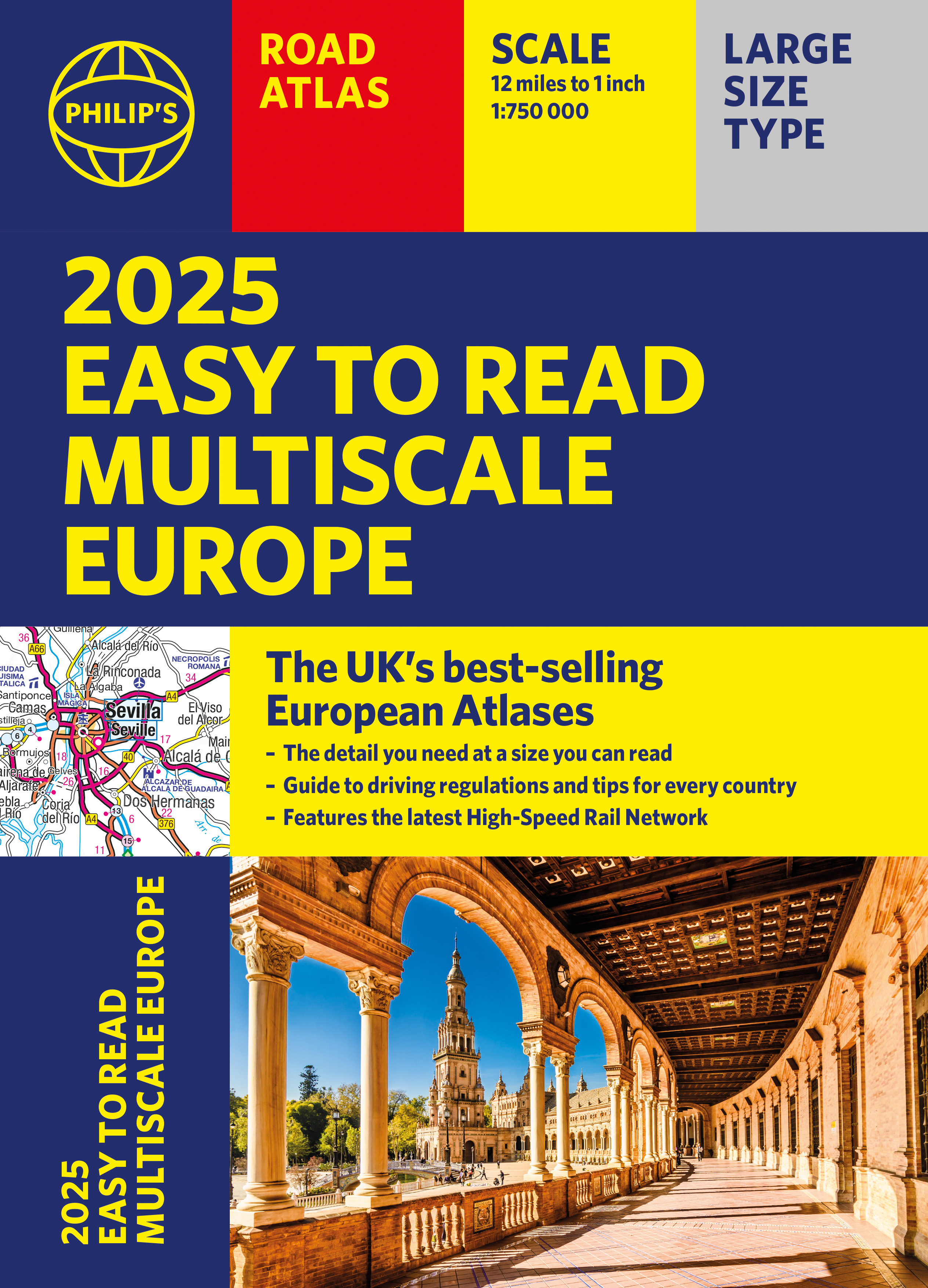
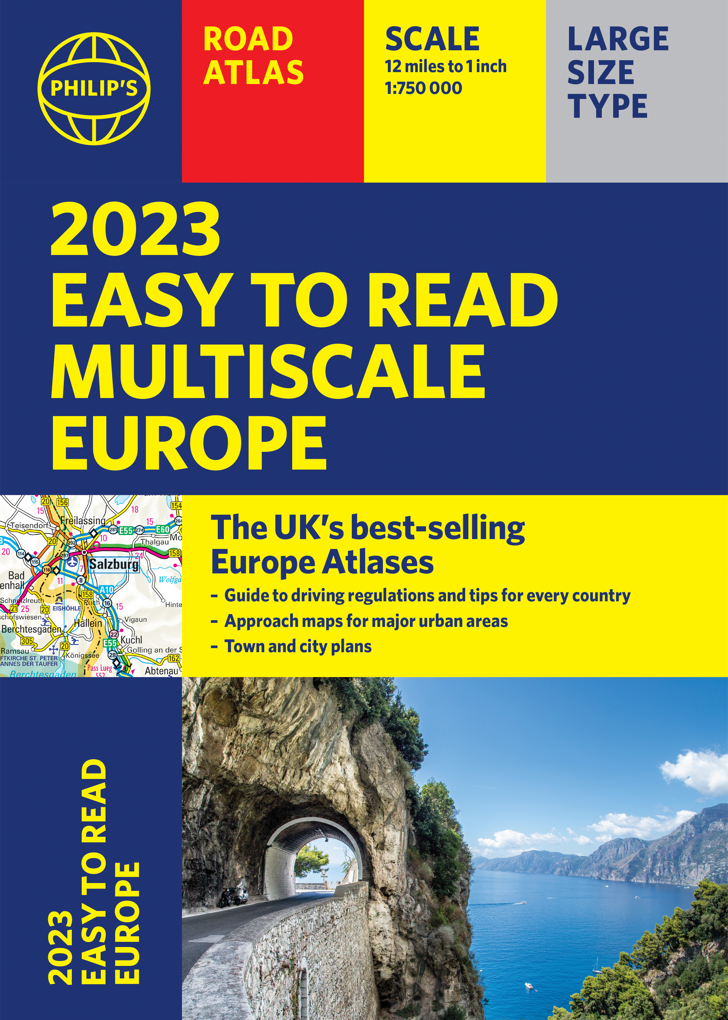
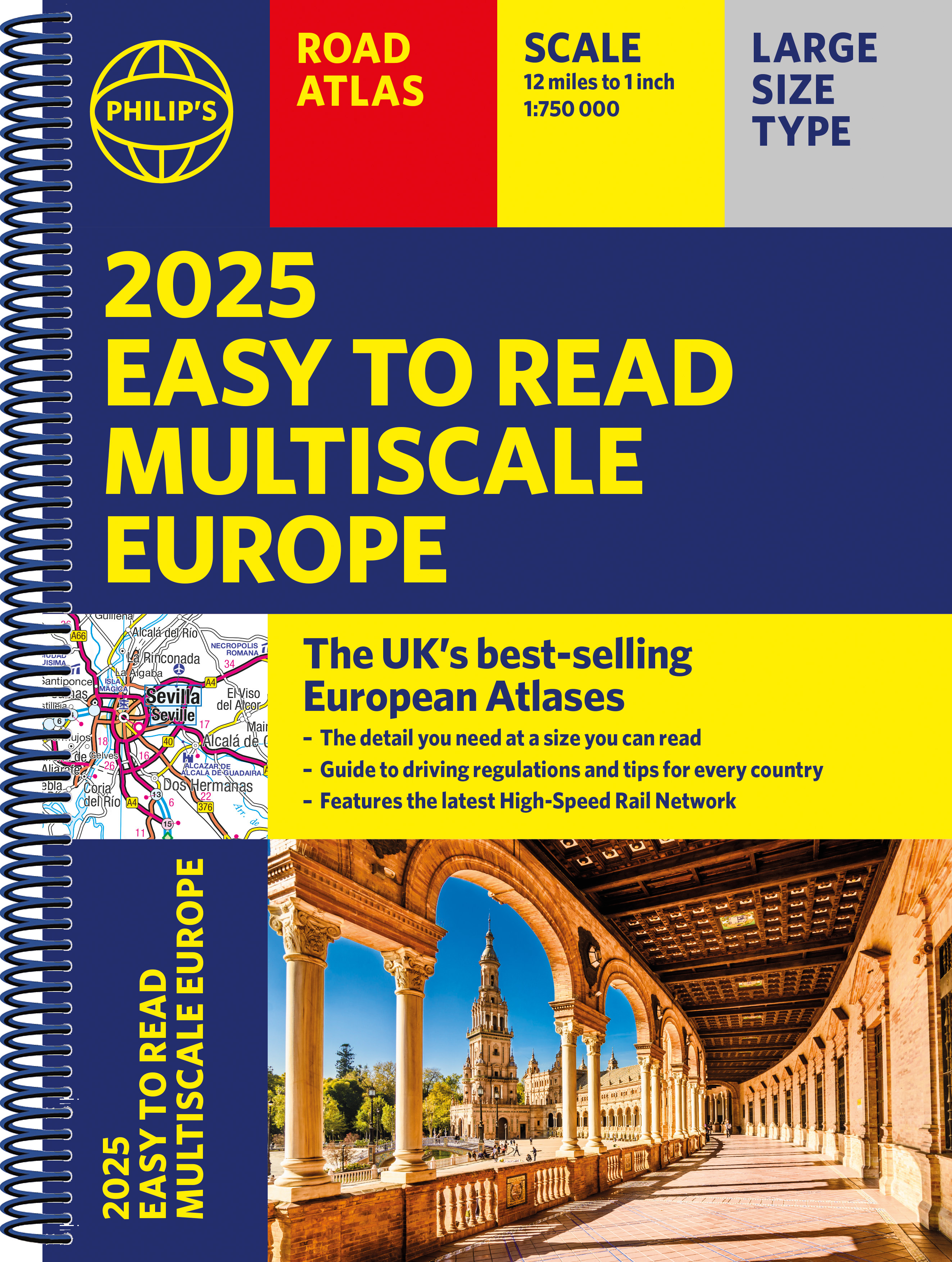
The latest edition in Philip's best-selling European Atlas range, now in a practical paperback format with place-holder flaps. The 2025 Philip's Easy to Read Multiscale Road Atlas of Europe contains mapping at the best scales for driving in Europe alongside the rules and regulations for every country.
PHILIP'S: THE BEST-SELLING EUROPEAN ATLAS RANGE IN THE UK
With the detail you need at a size you can read, the latest 2025 Philip's Easy to Read Multiscale Road Atlas of Europe is the ultimate driving companion. Including the rules and regulations across Europe for easy driving, and the high speed network if you need to take to the train.
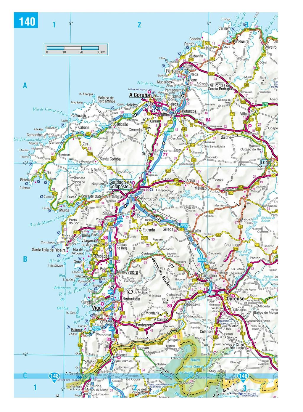
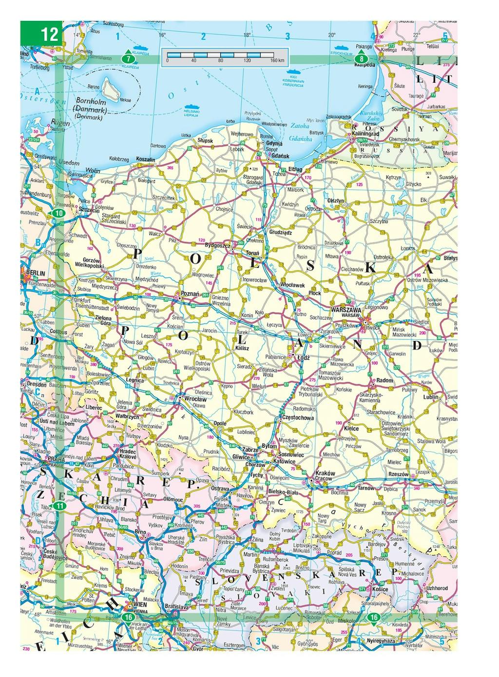
* Super-clear main scale at 1:750,000 (12 miles to 1 inch)
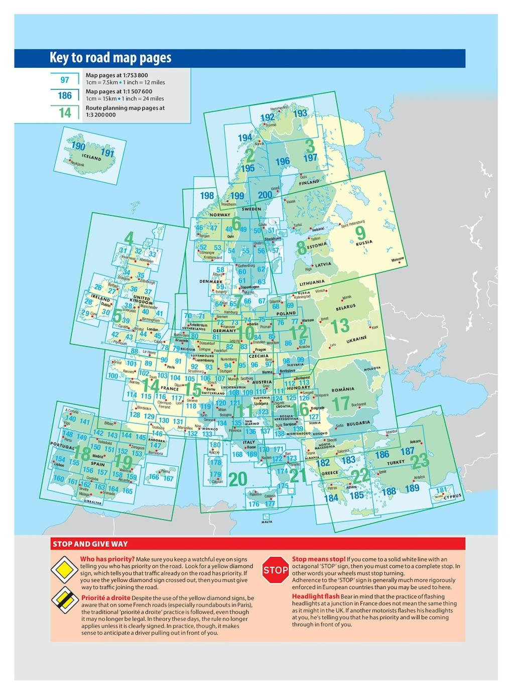
* Multiscale mapping with scales from 1:200,000 to 1:3M, showing more detail where you need it
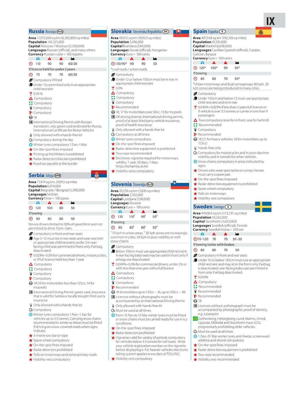
* Clear mapping of every country in Europe and the driving rules and regulations
* Distance Chart and a 23-page route planning section included, for easy route planning across long distances
* Spectacular scenic routes clearly highlighted
* Including a handy map of Europe's High-Speed Rail Network to help plan long distance journeys with ease
* A4 format with sturdy flaps
'The clearest and most detailed maps of Europe' David Williams MBE, former CEO Gem Motoring Assist
'The best of its kind with quick, easy-to-use information' Fleet Week


Find a book you’ll love, get our Word Up newsletter


.png?auto=compress&w=150&h=60&fit=crop&fm=jpg)
.png?auto=compress&w=150&h=60&fit=crop&fm=jpg)
Hachette Australia acknowledges and pays our respects to the past, present and future Traditional Owners and Custodians of Country throughout Australia and recognises the continuation of cultural, spiritual and educational practices of Aboriginal and Torres Strait Islander peoples. Our head office is located on the lands of the Gadigal people of the Eora Nation.
