Imprint
- Philip's
Philips Road Atlas, Prose: non-fiction, Travel maps & atlases, Road atlases & maps
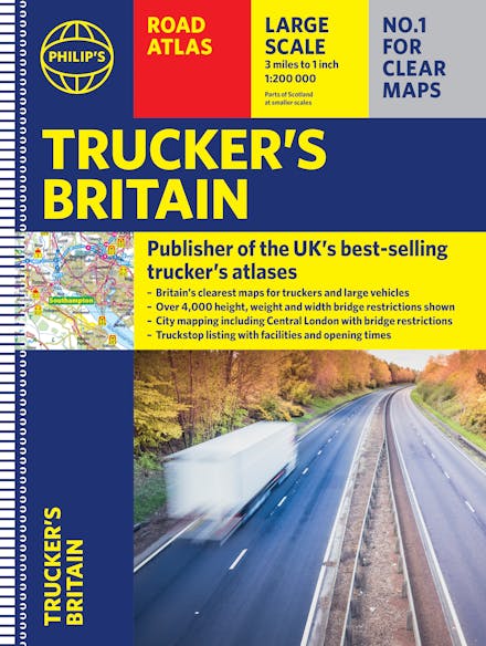
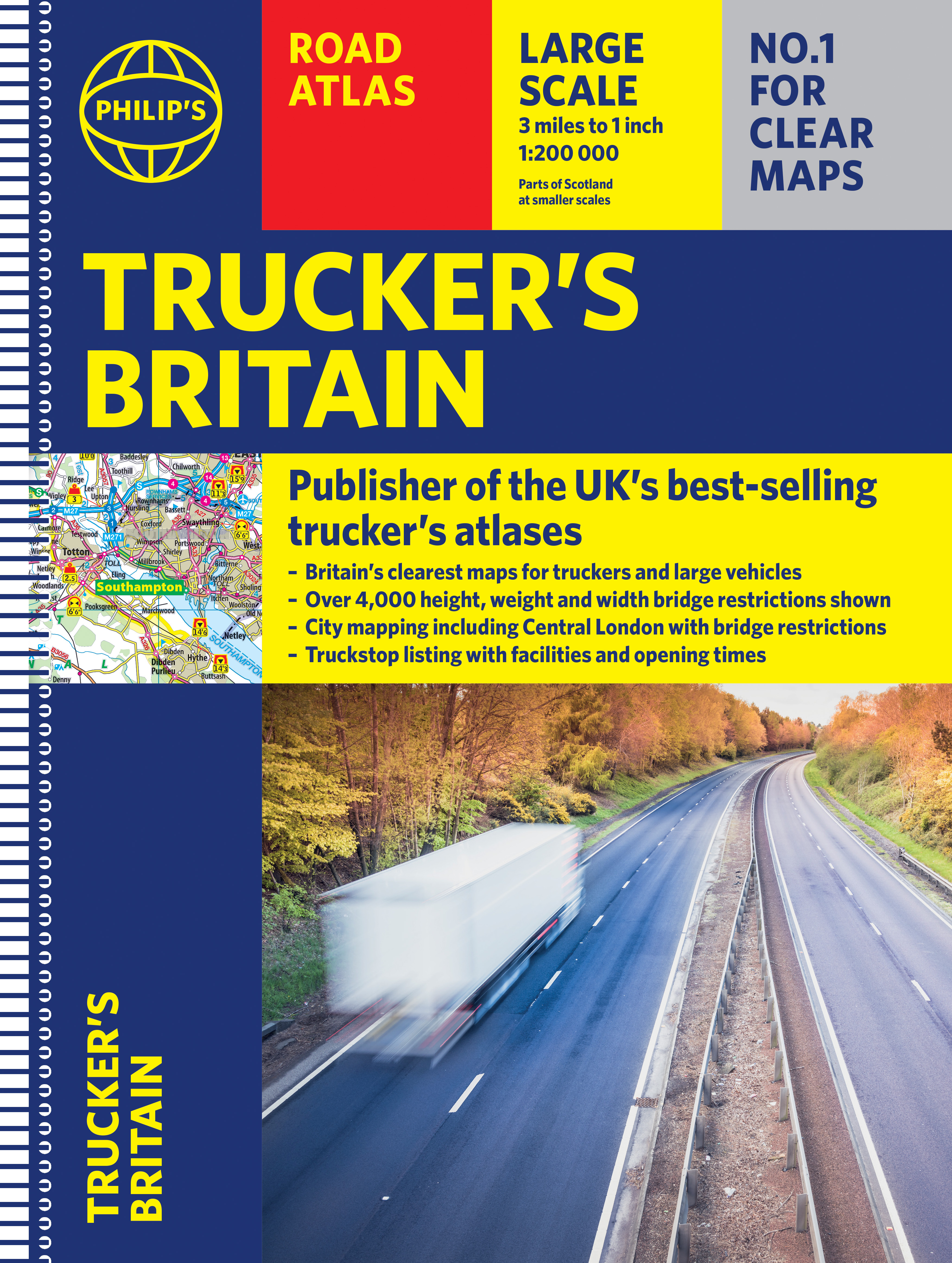
The latest Philip's Trucker's Road Atlas Britain shows over 4,000 bridges with restrictions - either height, weight or width - and is indispensable for anyone driving a large vehicle. Super-clear maps and packed with the most useful information for drivers of large vehicles.
PHILIP'S - THE ATLAS BRAND FOR TRUCKERS, CARAVANNERS AND OTHER SERIOUS ROAD USERS
"The best of its kind with quick and easy to use information" Fleet Week
- Essential for Truckers (and very useful for Caravanners too)
- Over 4,000 bridges with restrictions - either height, weight or width - located on the maps
- Super-clear maps of the UK at 1:200,000 (Northern Scotland 1:250,000)
- Special Feature: "Bridge Strikes" (including "Most Hit Bridges", numbering approximately 50, which includes all bridges struck five or more time in a 12-month period
- Lists Restricted Motorway Junctions with explanations
- Truck stop listings and location maps, including the facilities and opening times
- Big format and spiral binding - easy-to-use on the road
- 12 pages of urban area maps with bridge restrictions
- Central London maps - with bridge restrictions
'Even though I have a satnav I find a map essential for planning in stops on long routes.' a trucker customer


Find a book you’ll love, get our Word Up newsletter
.png?auto=compress&w=150&h=60&fit=crop&fm=jpg)

.png?auto=compress&w=150&h=60&fit=crop&fm=jpg)


Hachette Australia acknowledges and pays our respects to the past, present and future Traditional Owners and Custodians of Country throughout Australia and recognises the continuation of cultural, spiritual and educational practices of Aboriginal and Torres Strait Islander peoples. Our head office is located on the lands of the Gadigal people of the Eora Nation.
