Imprint
- Philip's
Philips Road Atlas, Prose: non-fiction, Travel maps & atlases, Road atlases & maps
Gallery
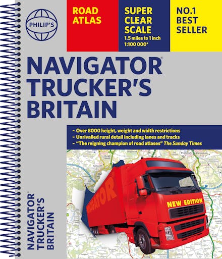
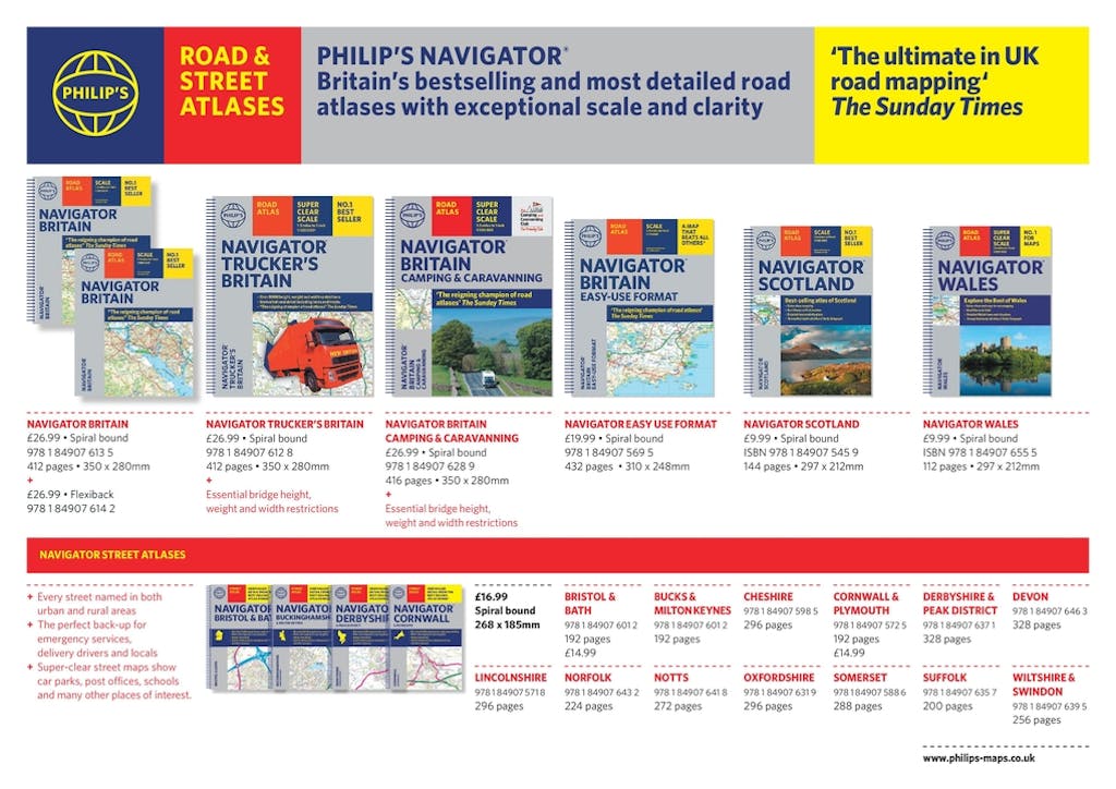
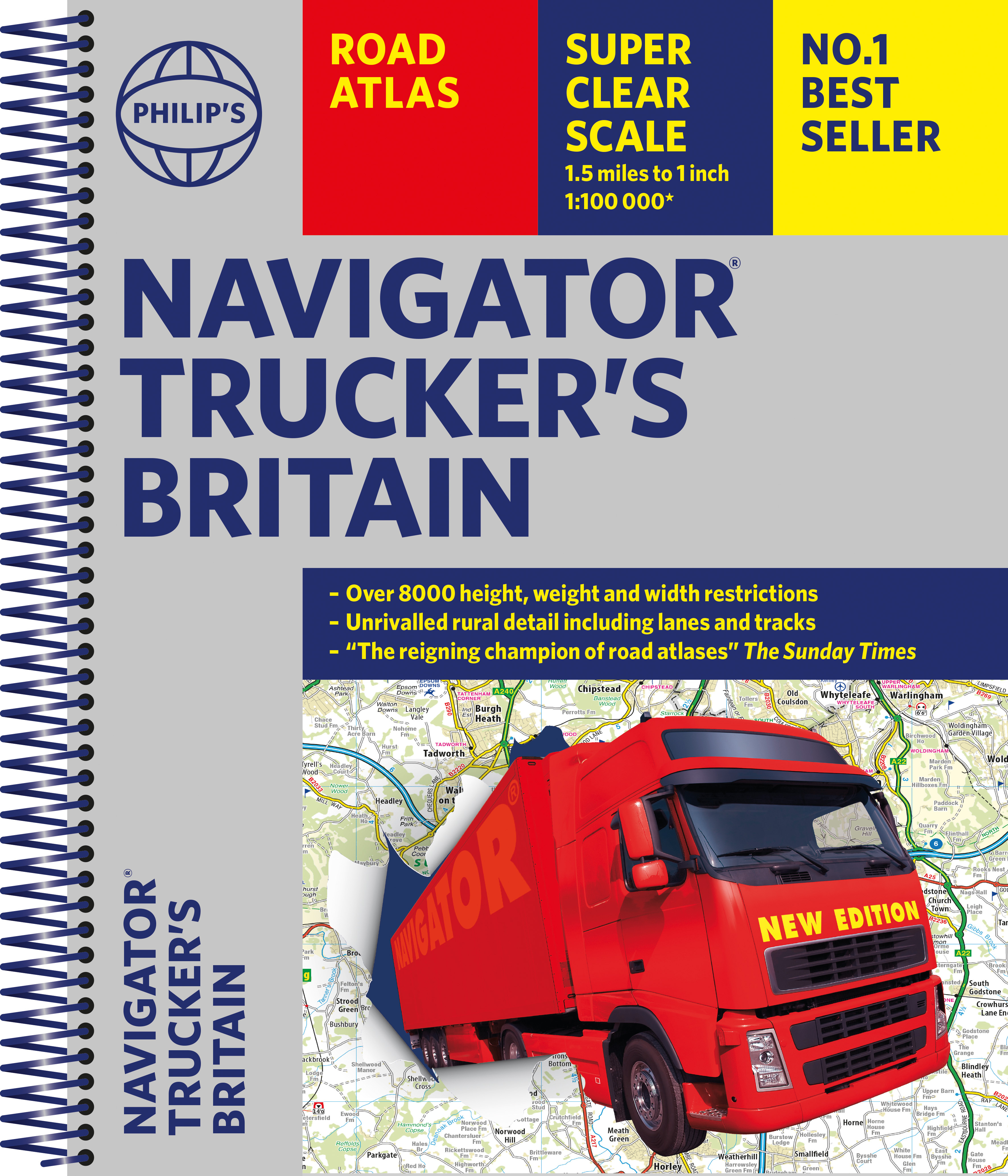
Philip's Navigator Trucker's Road Atlas is one of the UK's best-selling road atlases. With large-scale mapping that makes driving easy in both towns and the countryside, it has lie-flat spiral binding for easy use. Additional information on bridge heights, width restrictions, weight limits - vital information for drivers of large vehicles.
THE UK'S BEST-SELLING ROAD ATLAS for anyone driving large vehicles - every bridge height, width and weight limit you could need.
'A map that beats all others' The Daily Telegraph
'Scale, accuracy and clarity are without parallel' Driving Magazine
'No.1 in the UK for clear maps' Independent research survey
- Exceptional scale: 1.5 miles to 1 inch = 1:100,000 (Northern Scotland: 3 miles to 1 inch = 1:200,000)
- The Road Atlas for the professionals
- Over 6,000 bridge heights, nearly 1,500 weight-restricted bridges and over 250 width-restricted bridges
-The only road atlas of Britain offers this level of detail and clarity
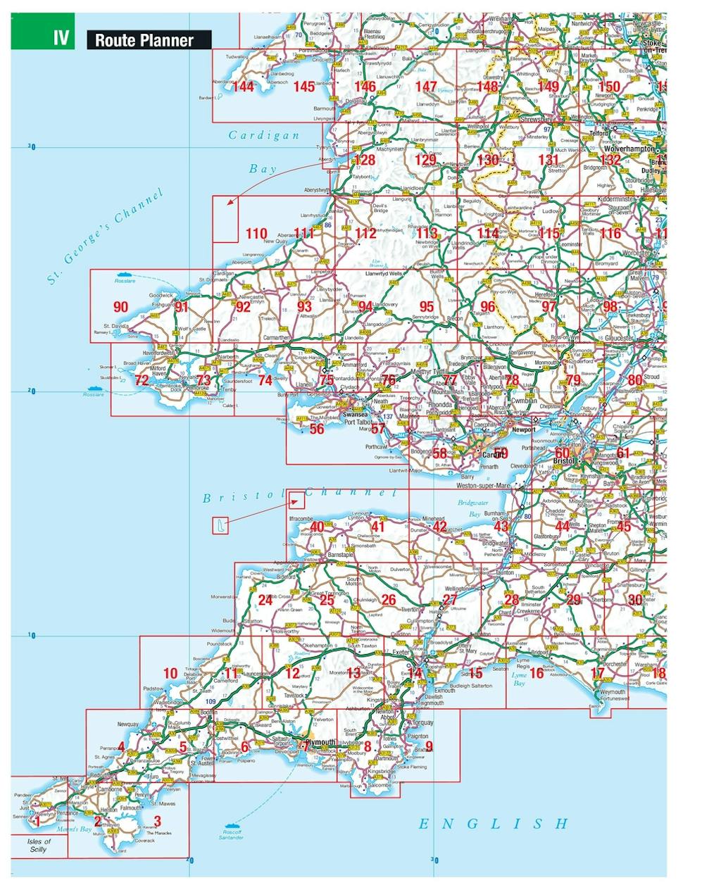
- Super-detailed 6-page route-planning section
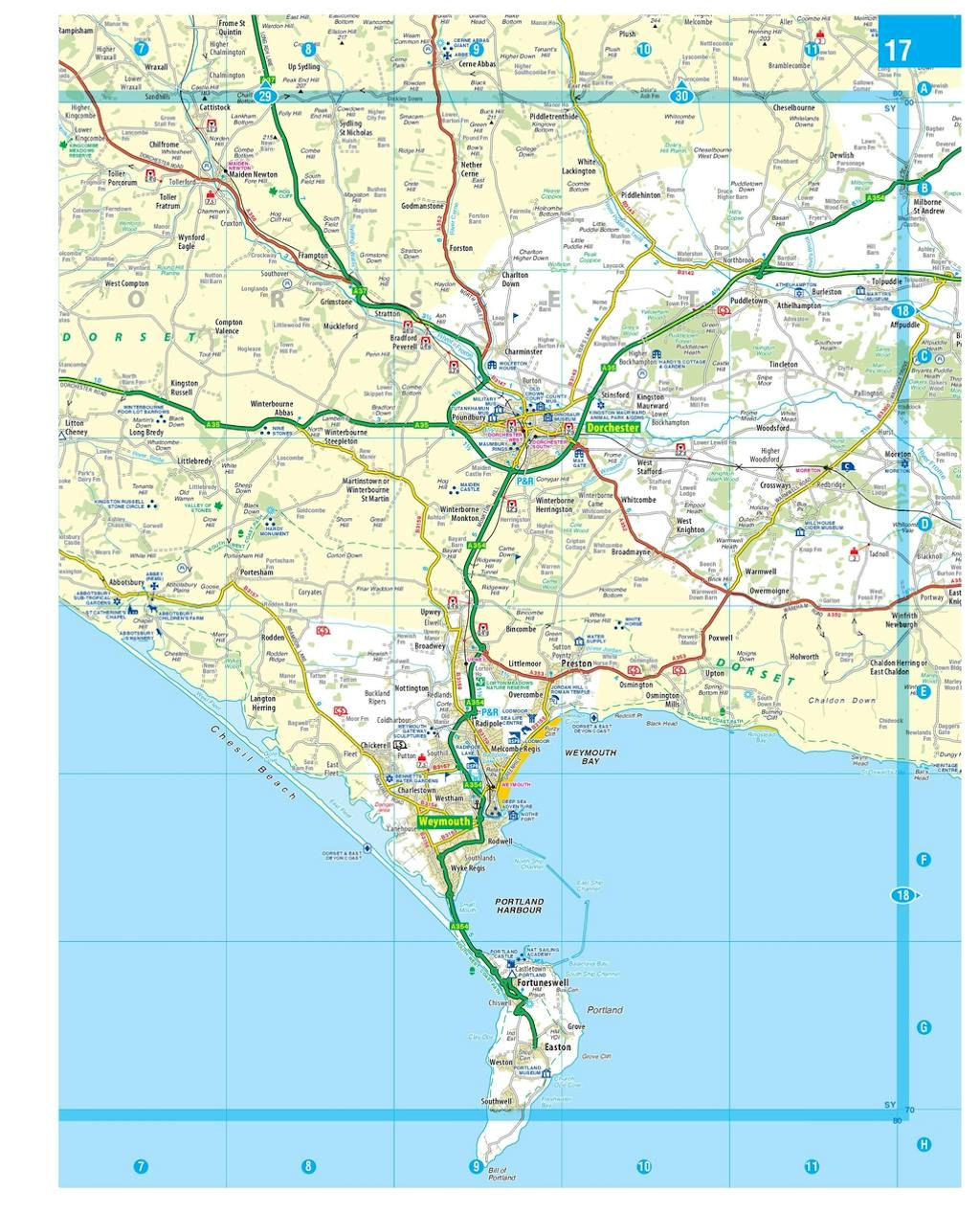
- Every street in Britain marked on the maps
- Over 3000 roads named
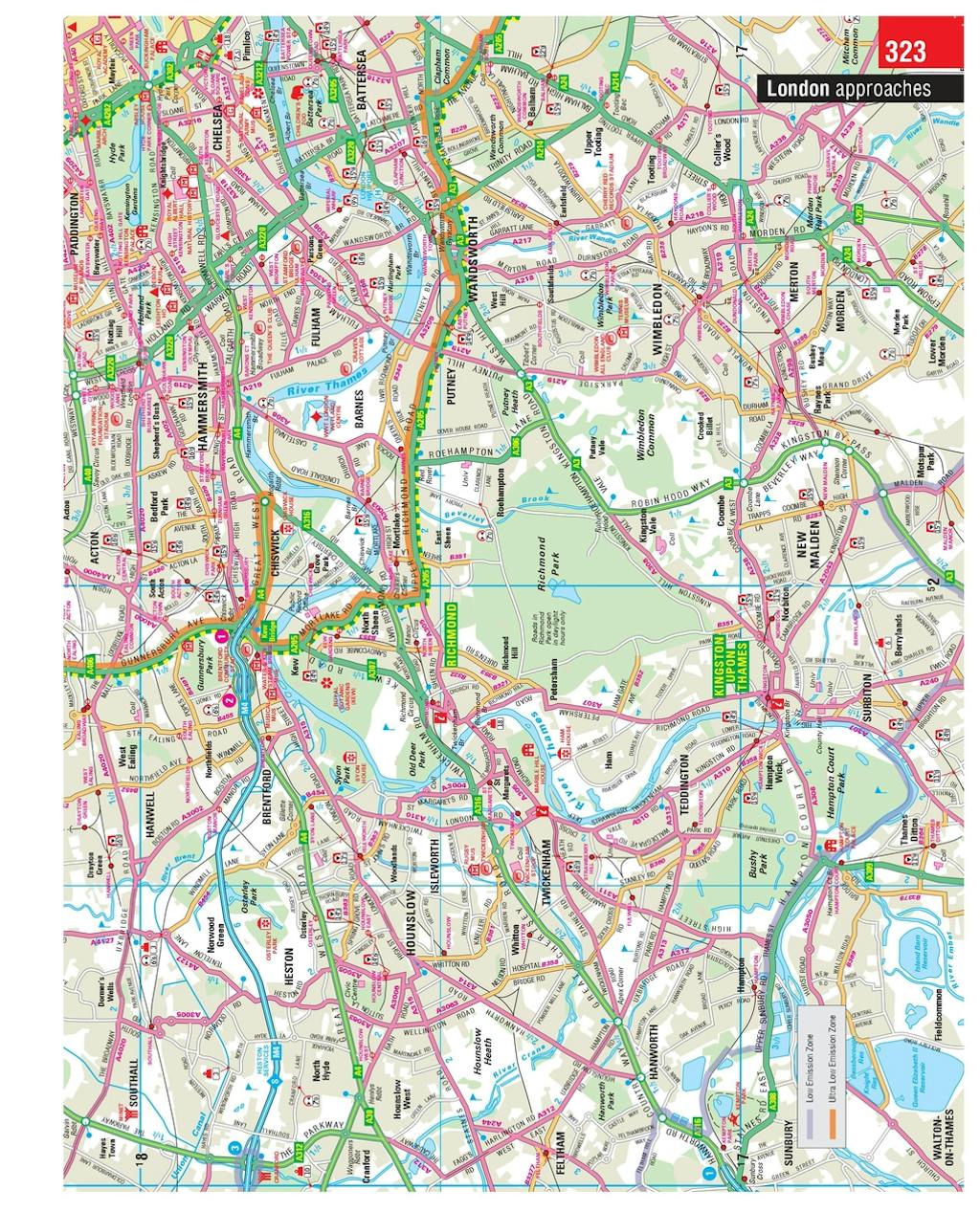
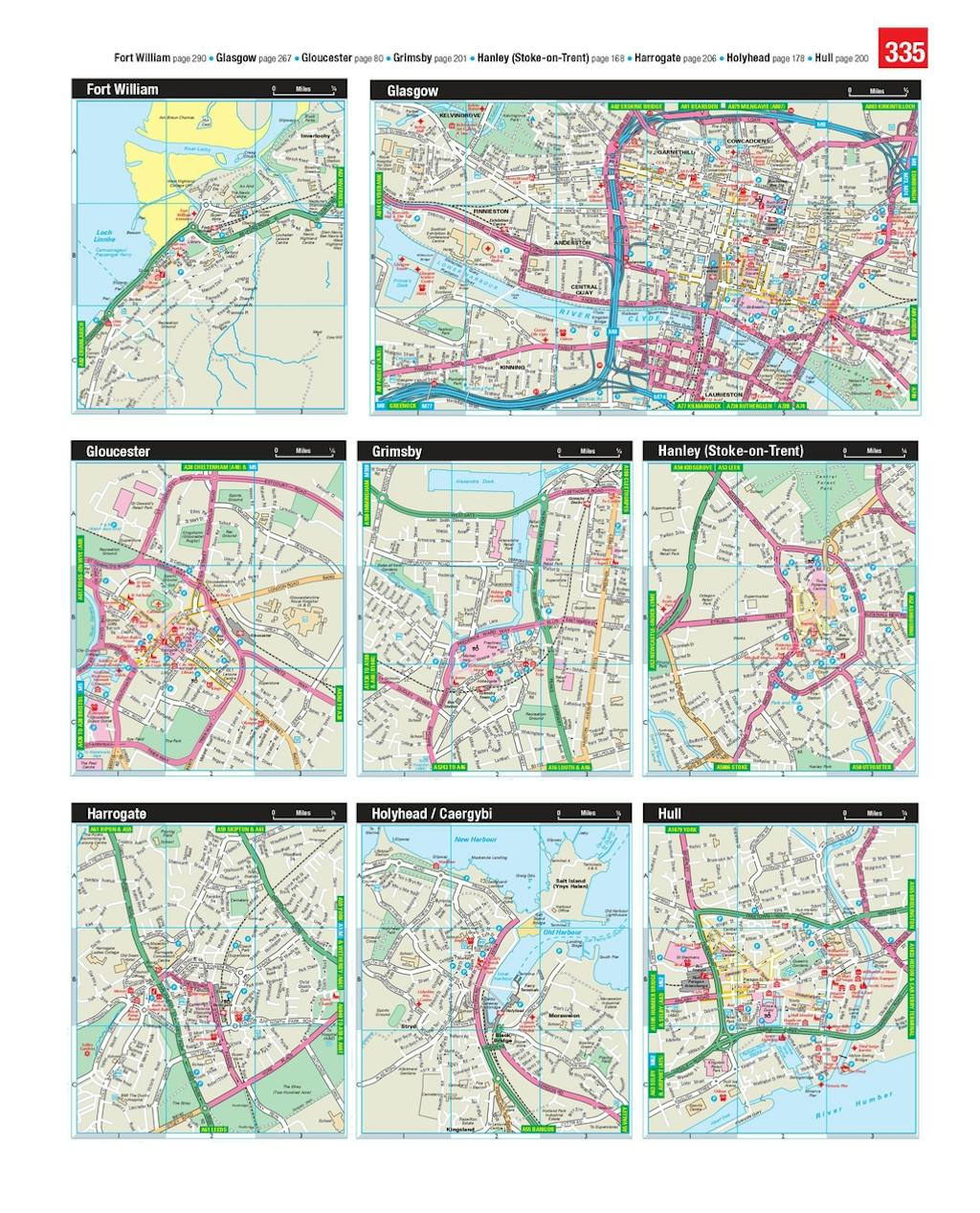
- 100 indexed town-centre maps plus approaches maps to 12 major urban areas
- Exceptional road detail, from motorways to country lanes, with every junction, roundabout and slip-road shown
- Thousands of individually named farms, houses and hamlets
Philip's Navigator atlases are widely used by professional drivers and the emergency services, including national police training, and is recommended in the motoring press and national newspapers.


Find a book you’ll love, get our Word Up newsletter

.png?auto=compress&w=150&h=60&fit=crop&fm=jpg)


.png?auto=compress&w=150&h=60&fit=crop&fm=jpg)
Hachette Australia acknowledges and pays our respects to the past, present and future Traditional Owners and Custodians of Country throughout Australia and recognises the continuation of cultural, spiritual and educational practices of Aboriginal and Torres Strait Islander peoples. Our head office is located on the lands of the Gadigal people of the Eora Nation.
