Imprint
- Philip's
Philip's Street Atlas, London, Greater London, Street maps & city plans
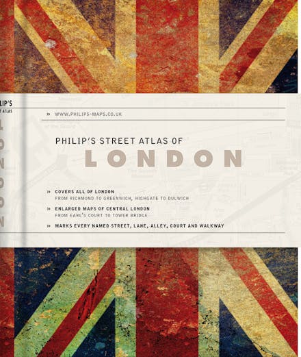
A new Philip's De Luxe edition of this detailed colour mini street atlas, covering all of London from Richmond to Greenwich and from Highgate to Streatham, with enlarged maps of central London from Earl's Court to Tower Bridge.
This new Philip's De Luxe edition of the fully revised mini street atlas of London is attractive, professional and discreet. This stylish edition is the perfect accessory for both handbag and briefcase. The atlas covers all of London from Richmond to Greenwich and from Highgate to Streatham, with enlarged maps of central London from Earl's Court to Tower Bridge.
Philip's Street Atlas of London De Luxe edition includes two ribbon markers, an elastic fastener/page holder, and a section for notes.
The street maps of central London are at 7 inches to 1 mile, with the rest of inner London at the clear scale of 3.5 inches to 1 mile. The maps mark every named street, lane, alley, court and walkway, plus car parks, tube, rail and bus stations, post offices, schools, colleges, hospitals, police and fire stations, places of worship, leisure centres, footpaths and bridleways, golf courses, and many other places of interest.
There is also a map of the entire London Underground.
The comprehensive index lists street names and postcodes, plus hundreds of places of interest. Schools, hospitals, railway stations and shopping centres, etc, are highlighted in red, while leisure and entertainment venues such as museums, galleries and sports grounds are shown in blue.


Find a book you’ll love, get our Word Up newsletter

.png?auto=compress&w=150&h=60&fit=crop&fm=jpg)


.png?auto=compress&w=150&h=60&fit=crop&fm=jpg)
Hachette Australia acknowledges and pays our respects to the past, present and future Traditional Owners and Custodians of Country throughout Australia and recognises the continuation of cultural, spiritual and educational practices of Aboriginal and Torres Strait Islander peoples. Our head office is located on the lands of the Gadigal people of the Eora Nation.
