Imprint
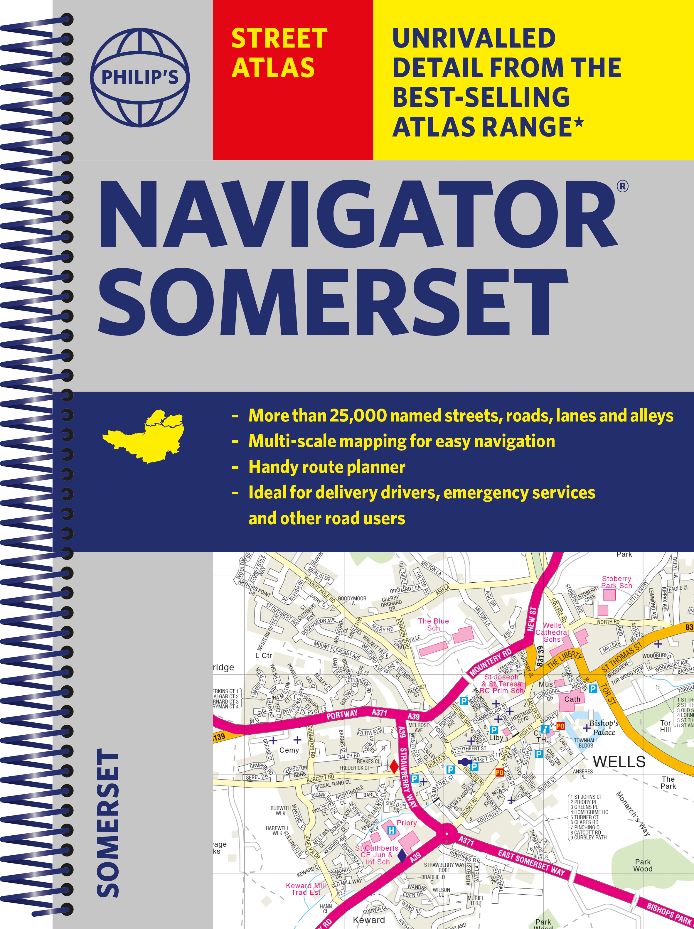
- Philip's
- Philip's
Prose: non-fiction, Travel maps & atlases, Street maps & city plans
Gallery
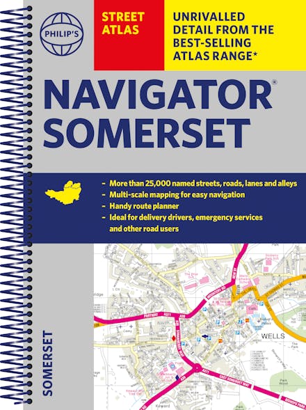
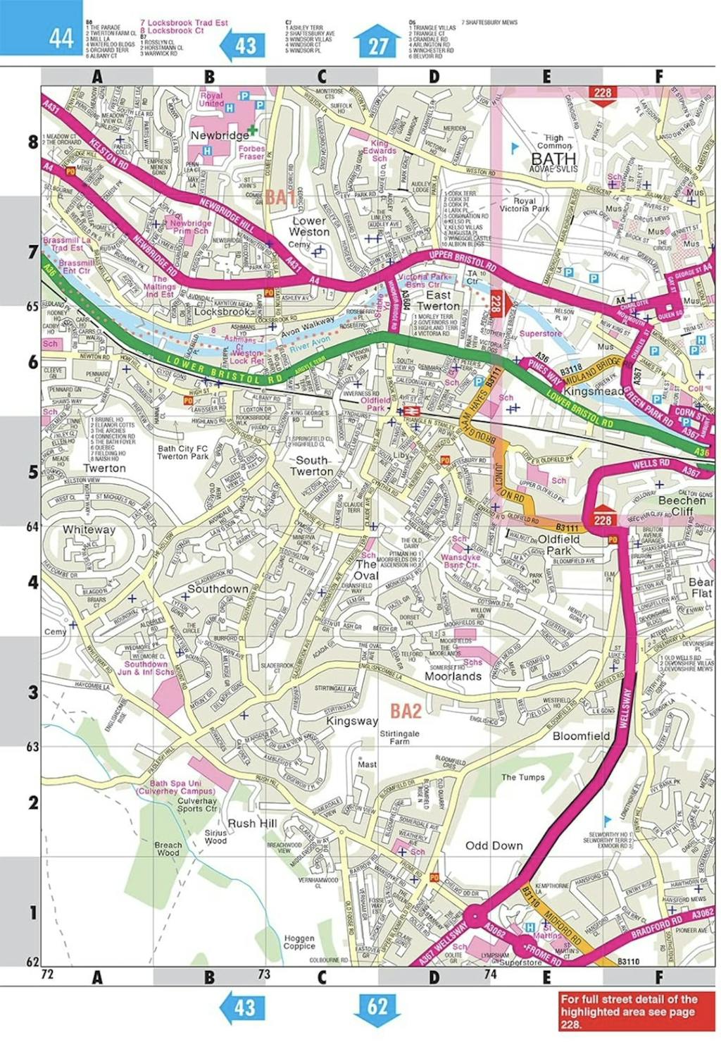
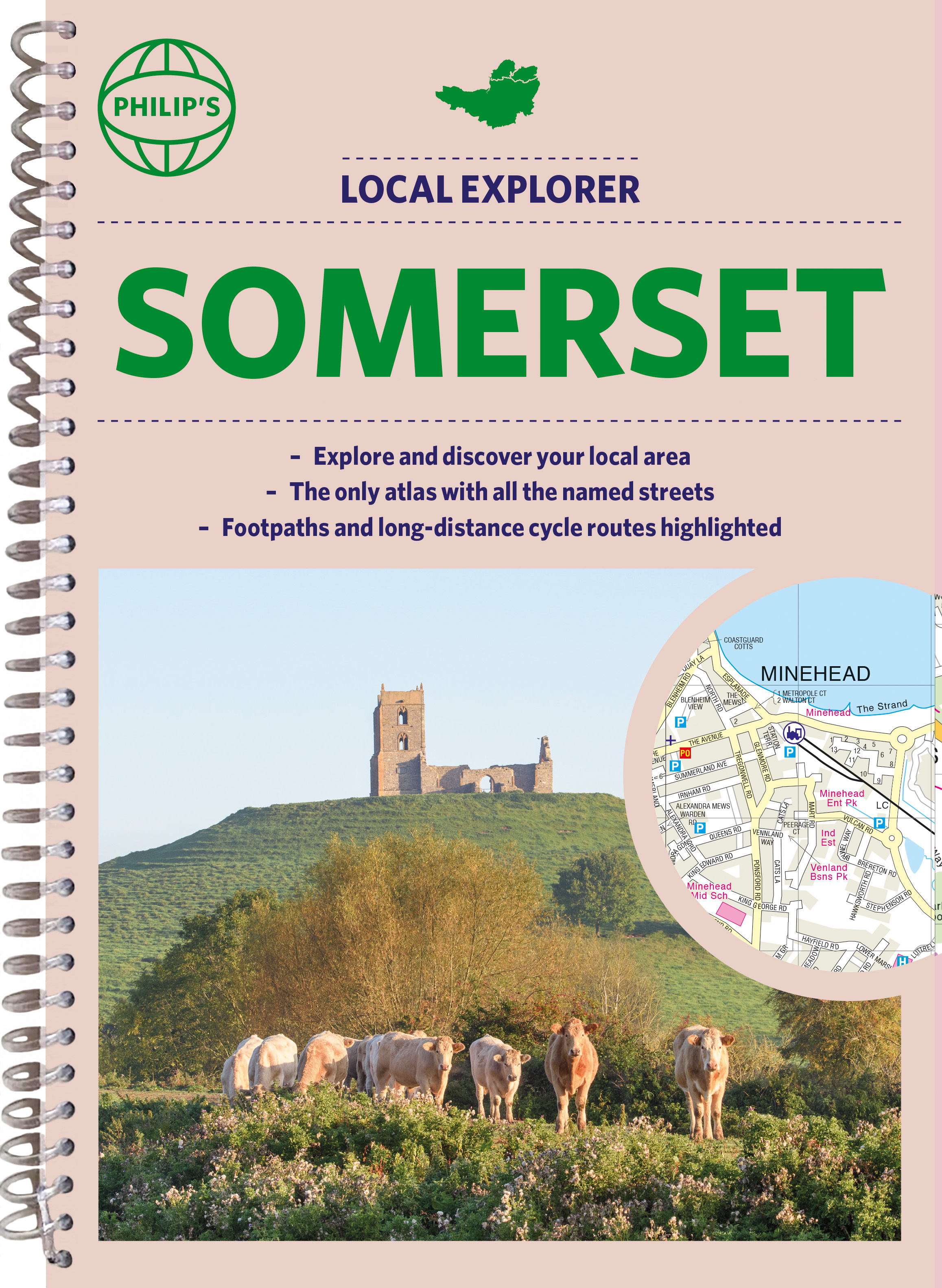
The only detailed colour atlas that gives comprehensive coverage of the entire region - no other atlas names every street in Somerset. The perfect back-up for emergency services, delivery drivers and locals.
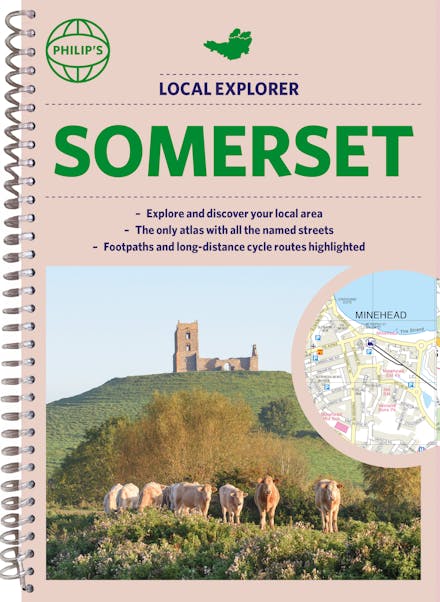
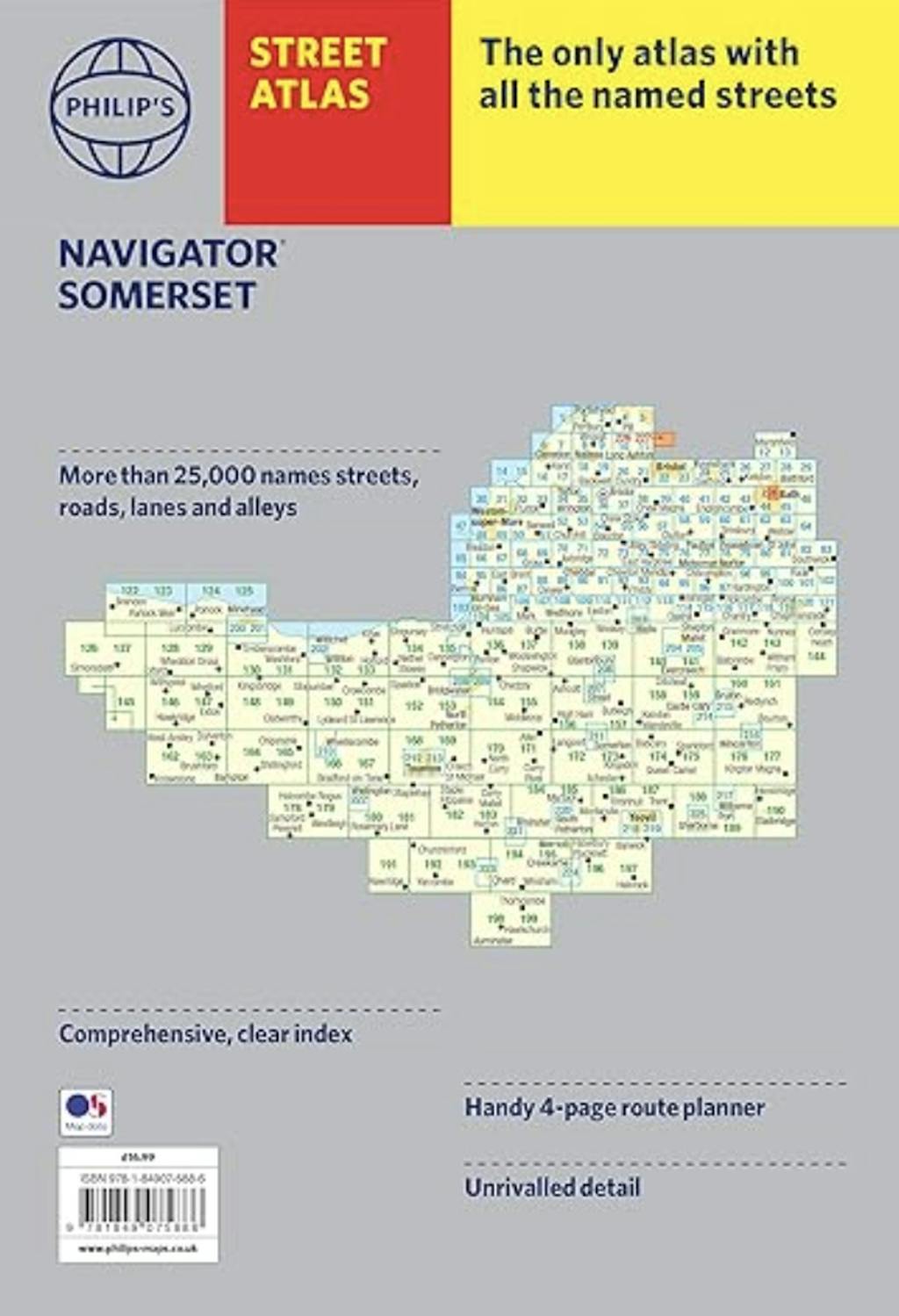
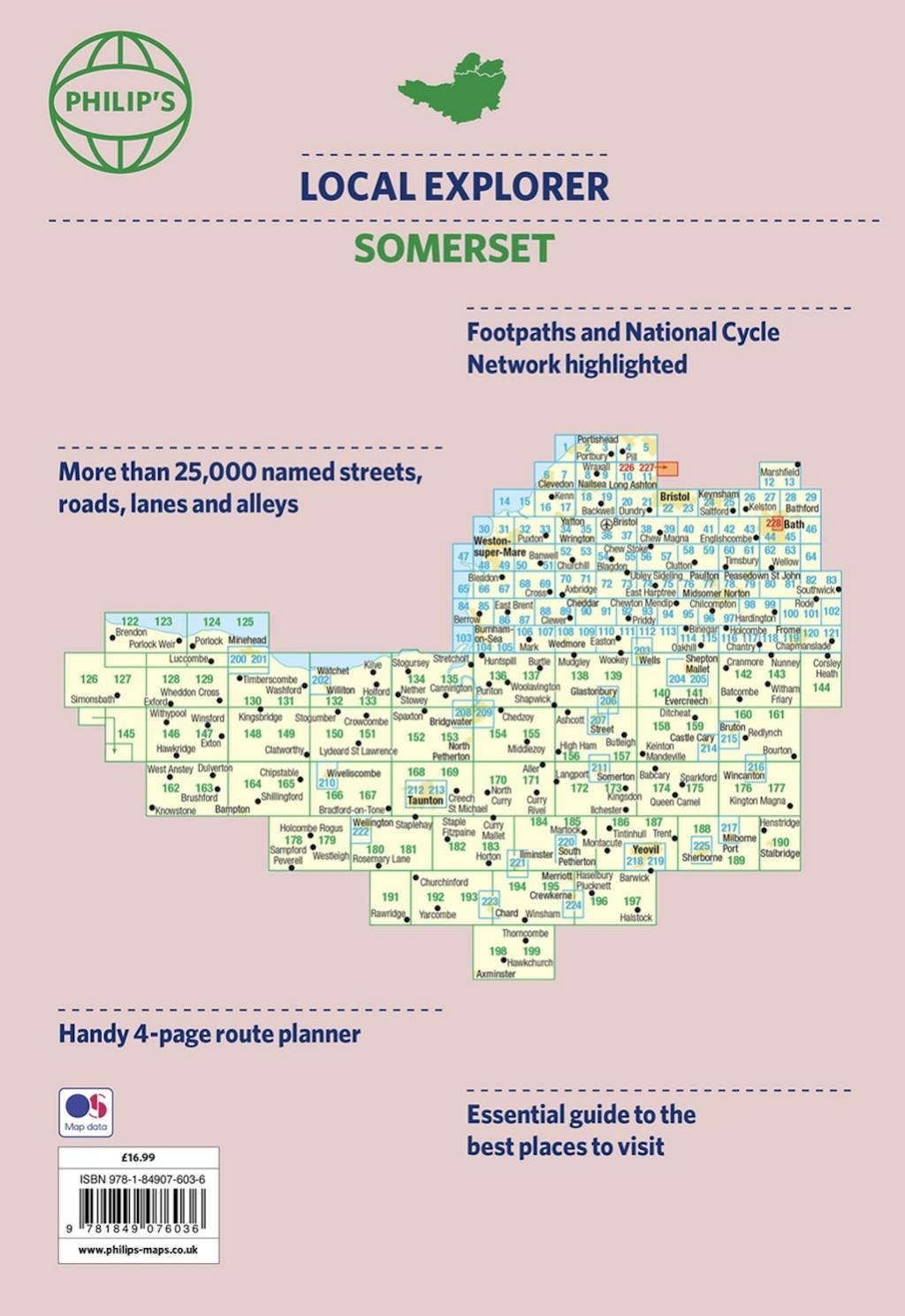
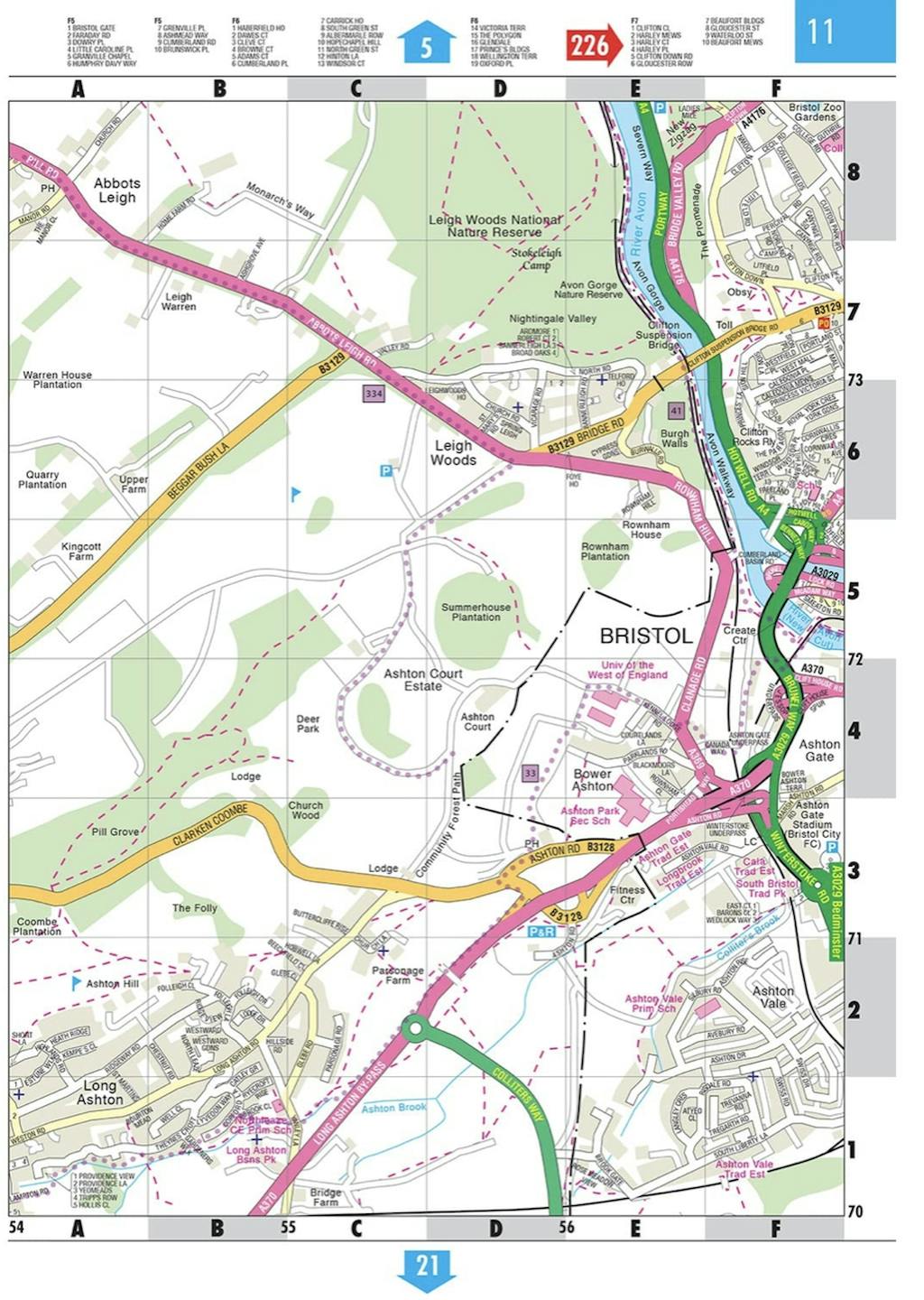
The only county atlas with all the named streets of Somerset - more than 24,000 named streets, roads, lanes and alleys - ideal for finding the best and most effective route anywhere in the area.
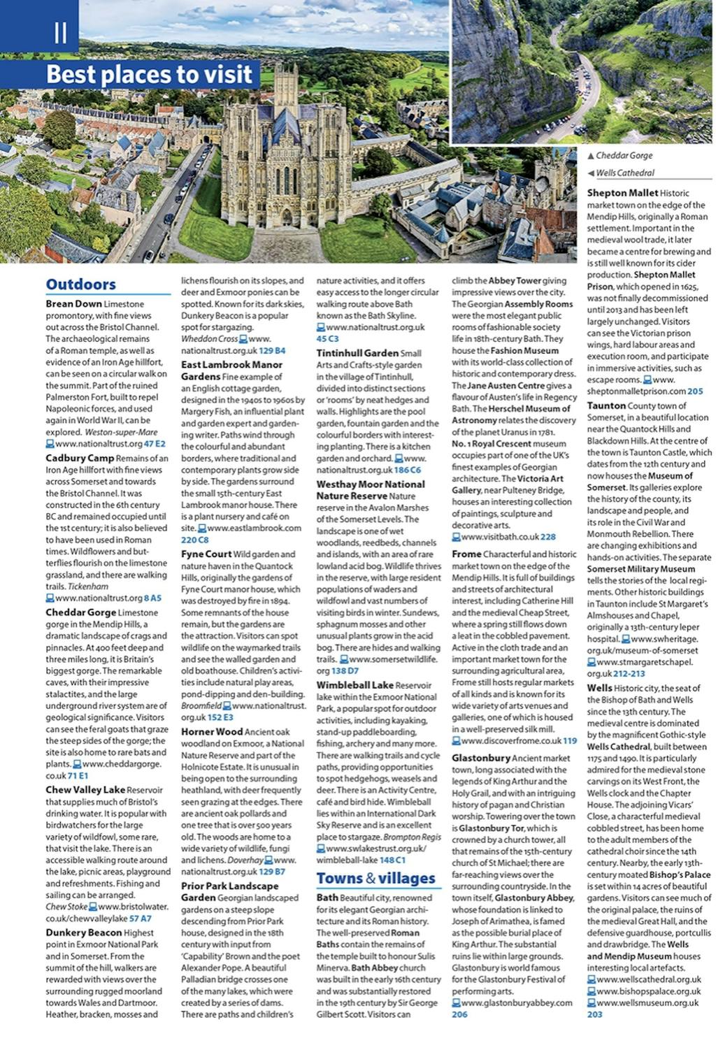
Includes all the streets in BATH, BRIDGWATER, FROME, TAUNTON, WESTON-SUPER-MARE, YEOVIL, Bruton, Burnham-on-Sea, Castle Cary, Chard, Crewkerne, Clevedon, Cheddar, Glastonbury, Ilminster, Keynsham, Minehead, Midsomer Norton, Nailsea, Portishead, Sherborne, Shepton Mallet, Street, Somerton, Wincanton, Watchet, Wedmore, Wells, Wellington, Yatton.
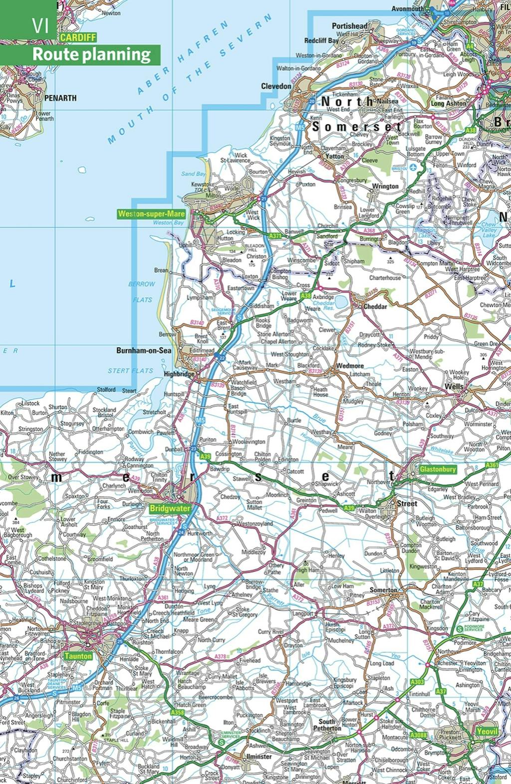
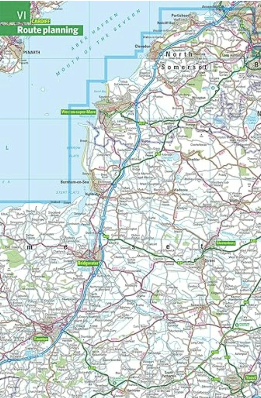
With Super-clear mapping, it is routinely used by the emergency services and professional drivers. The Route planner section shows all the A and B roads and can be used to get close to the destination before turning to the relevant large-scale street map.
Packed with useful information including car parks, railway and bus stations, post offices, schools, colleges, universities, hospitals, police and fire stations, places of worship, leisure centres, footpaths and bridleways, camping and caravan sites, golf-courses, and many other places of interest.
All this and an easy-to-use comprehensive Index with colour-coding for quick reference.


Find a book you’ll love, get our Word Up newsletter
.png?auto=compress&w=150&h=60&fit=crop&fm=jpg)

.png?auto=compress&w=150&h=60&fit=crop&fm=jpg)


Hachette Australia acknowledges and pays our respects to the past, present and future Traditional Owners and Custodians of Country throughout Australia and recognises the continuation of cultural, spiritual and educational practices of Aboriginal and Torres Strait Islander peoples. Our head office is located on the lands of the Gadigal people of the Eora Nation.
