Imprint
- Philip's
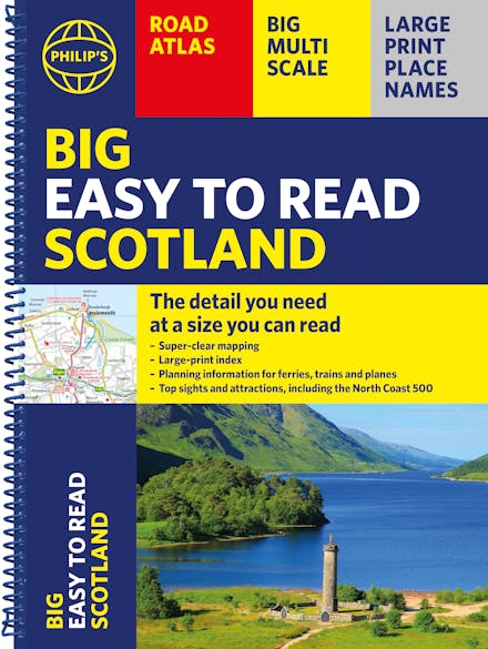
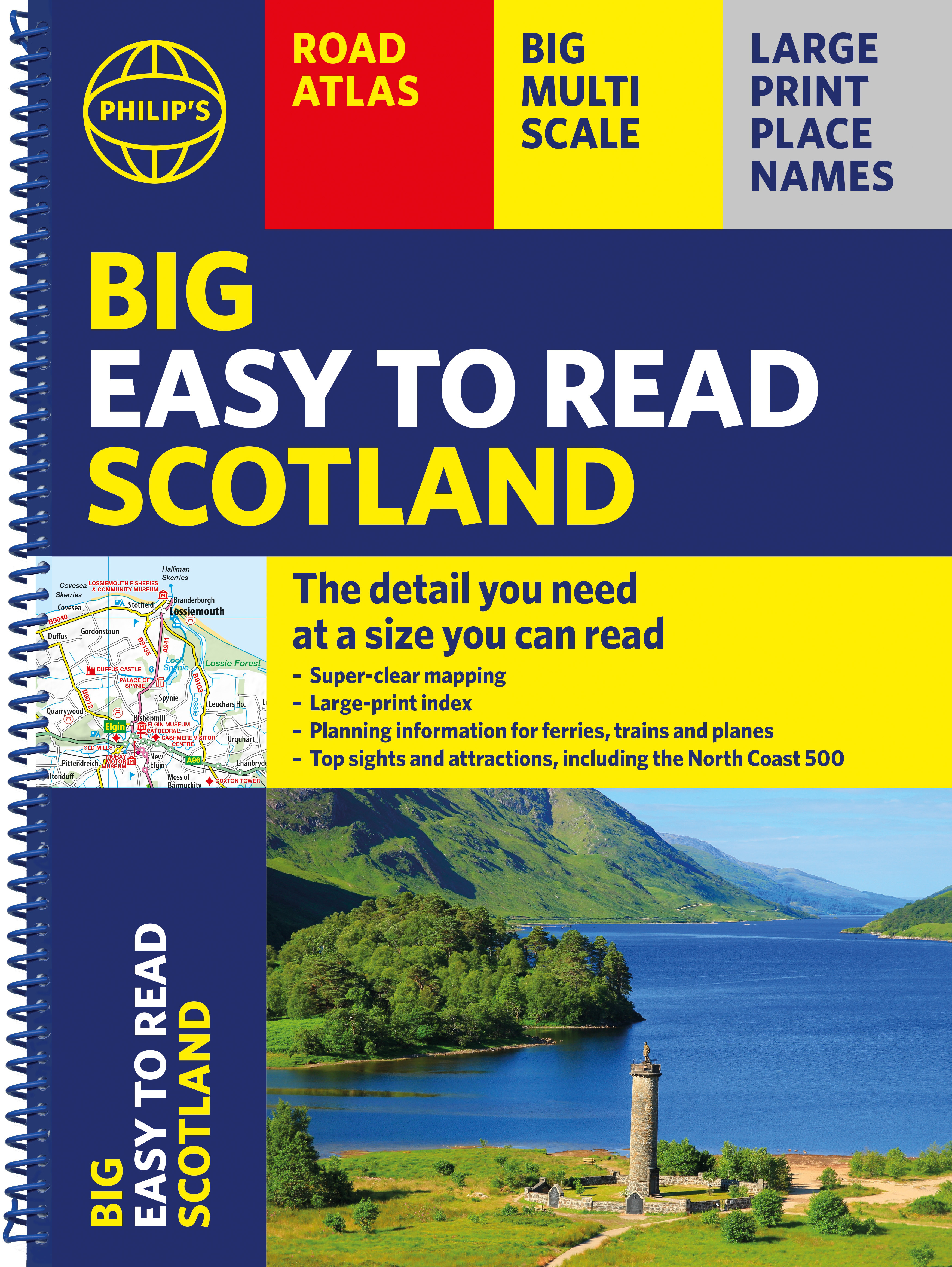
Philip's Big Easy to Read Scotland Road Atlas (Spiral A3): All the detail you need at a size you can read
Formats & Editions


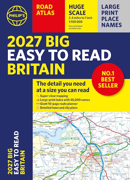
Philip's Big Easy Read Scotland Road Atlas is an exceptionally clear guide to the best of Scotland from the market-leading map makers. Reliable and up to date, the fully indexed mapping is accompanied by town plans, tourist and planning information, and spectacular scenic routes including the celebrated North Coast 500. The detailed yet easy-read maps show national parks, cultural and historical attractions, long-distance footpaths and much, much more.
Exceptional clarity with large-print place names and large-scale maps
Large-print index
Super-sized A3 pages for easy reading on the go
Shows most of Scotland at a scale of 1 inch to 2.37 miles (1:150 000); most islands and north Scotland at 1 inch to 3.16 miles (1:200 000) and 1 inch to 3.95 miles (1:250 000)
Packed with ideas and details about places to visit
Easy to read mapping with the NC500, long-distance footpaths, national parks, museums, castles and more
Town centre maps, fully indexed for easy navigation
Clear travel-planning information - trains, planes and ferries
Hard-wearing and practical A3 format with spiral binding

Find a book you'll love, get our newsletter
Hachette Australia acknowledges and pays our respects to the past, present and future Traditional Owners and Custodians of Country throughout Australia and recognises the continuation of cultural, spiritual and educational practices of Aboriginal and Torres Strait Islander peoples. Our head office is located on the lands of the Gadigal people of the Eora Nation.
This site is protected by reCAPTCHA and the Google Privacy Policy and Terms of Service apply.
© Hachette Australia, All Rights Reserved · Site by Chook