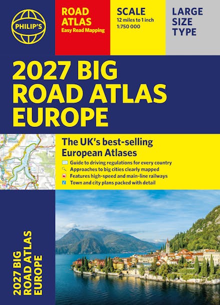
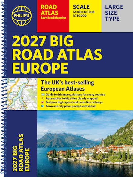
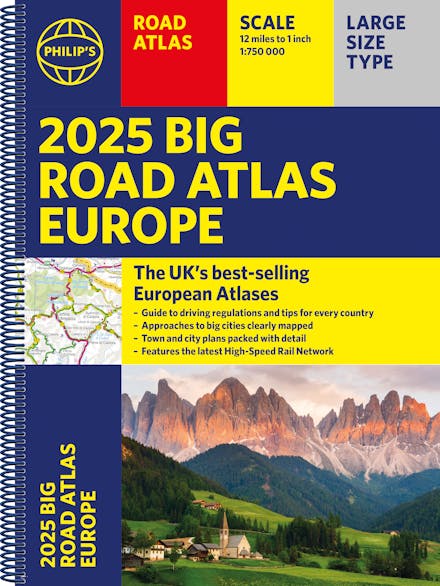
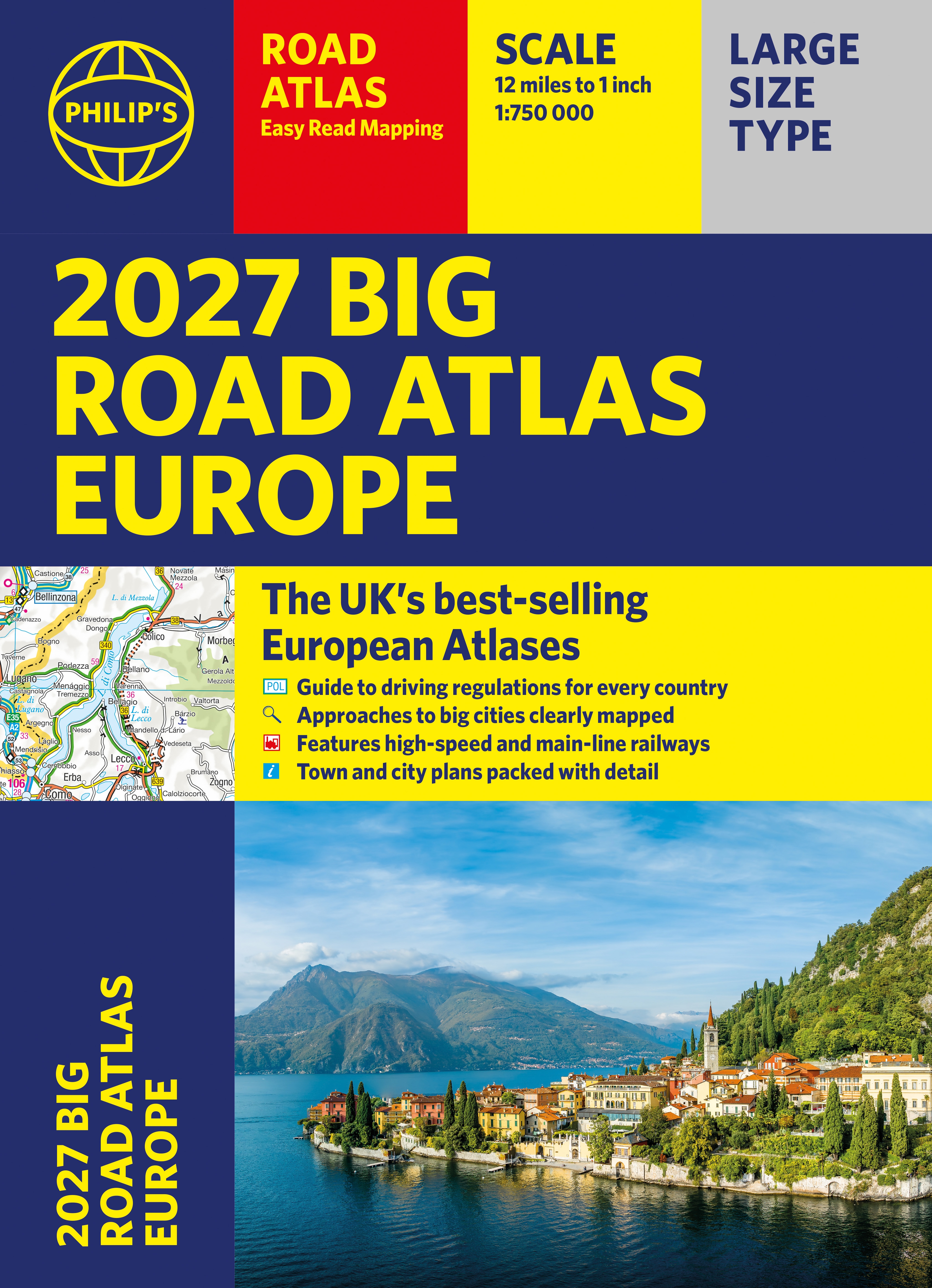
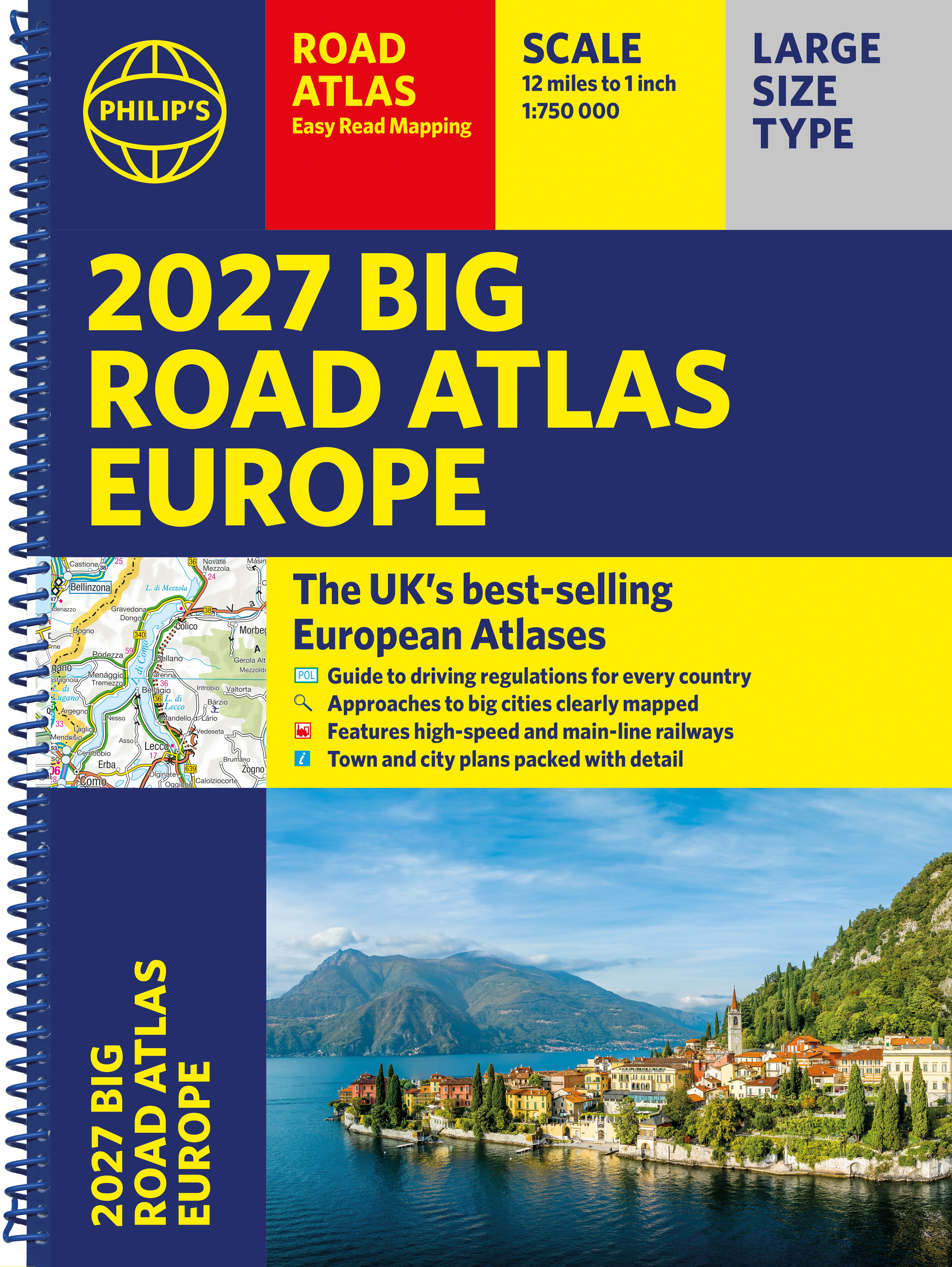
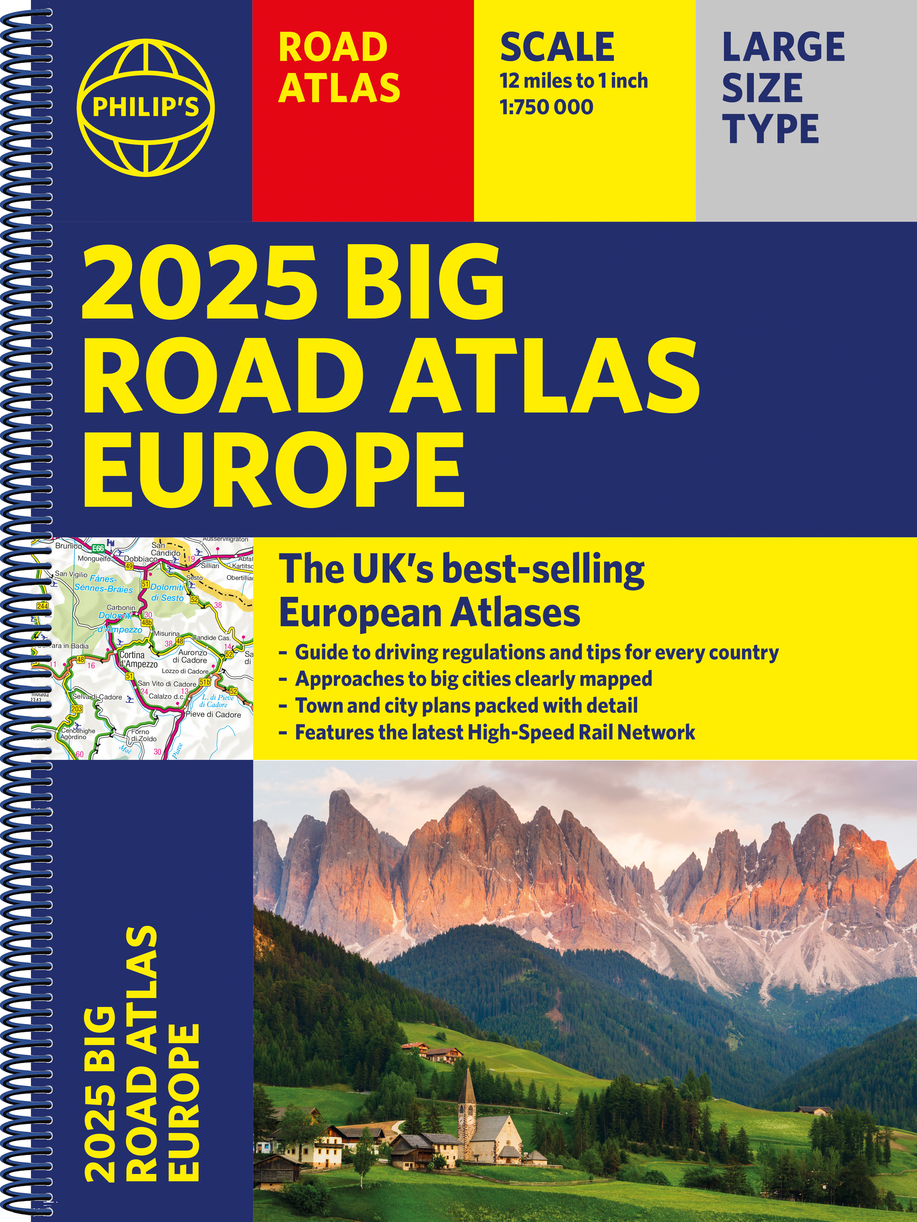
Philip's Big Road Atlas of Europe: A3
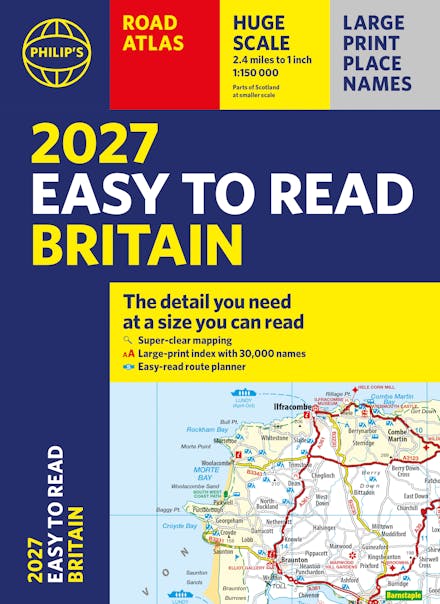
Formats & Editions


PHILIP'S: THE BEST-SELLING EUROPEAN ATLAS RANGE IN THE UK with 'The clearest and most detailed maps of Europe' David Williams MBE, former CEO Gem Motoring Assist
'The best of its kind with quick, easy-to-use information' Fleet Week
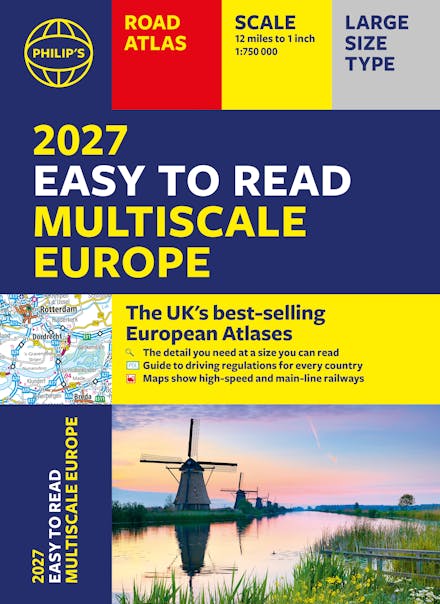
- Super-clear, easy-to-read main scale at 1:750,000 (12 miles to 1 inch)
- Extra pages with scales from 1:1.5M to 1:3M, showing more detail where you need it
- Clear mapping of every country in Europe with all the driving regulations for each one
- Easy-to-use large A3 format with large maps and large print place names
- Rivers and canals specially mapped for cruises and water-based travel
- 16-page route planning section, for easy route planning across long distances
- 50 town and city plans for easy navigation
- Over 30 urban area maps to help driving in denser areas
- Spectacular scenic routes clearly highlighted
- Times zones mapped across Europe
- Including mapping of Europe's High-Speed and Main Line Rail Network to help plan long distance journeys Using the most up-to-date mapping technology, this is the ultimate road companion for moving around Europe.

Praise for Philip's Big Road Atlas of Europe
-
The clearest and most detailed maps of Europe.
-
The best of its kind with quick, easy-to-use information. - Fleet Week
Find a book you'll love, get our newsletter
Hachette Australia acknowledges and pays our respects to the past, present and future Traditional Owners and Custodians of Country throughout Australia and recognises the continuation of cultural, spiritual and educational practices of Aboriginal and Torres Strait Islander peoples. Our head office is located on the lands of the Gadigal people of the Eora Nation.
This site is protected by reCAPTCHA and the Google Privacy Policy and Terms of Service apply.
© Hachette Australia, All Rights Reserved · Site by Chook