Imprint
- Philip's
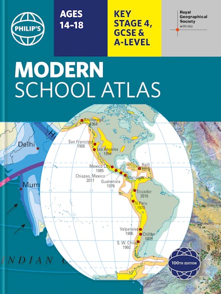
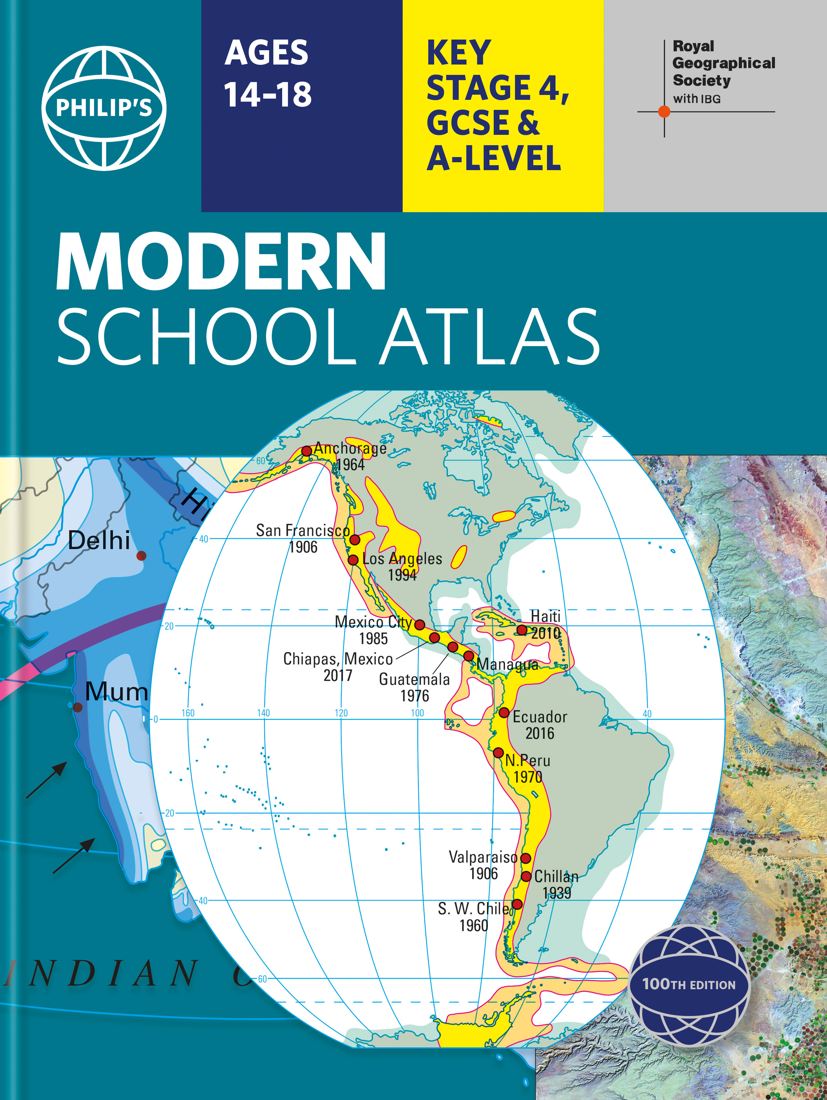
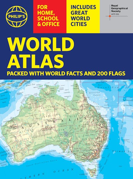
Philip's Modern School Atlas
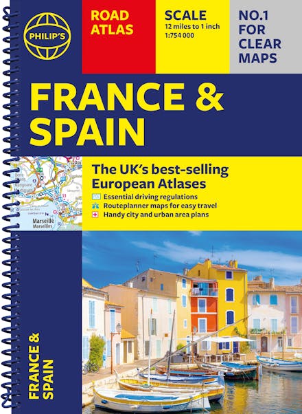
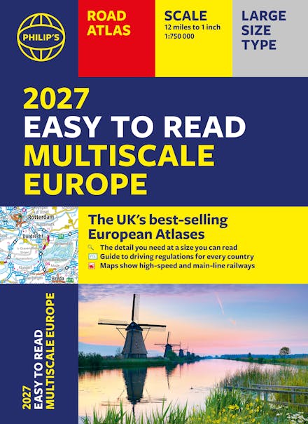
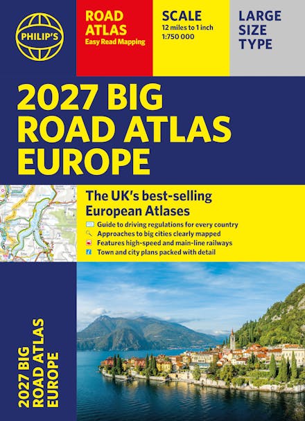
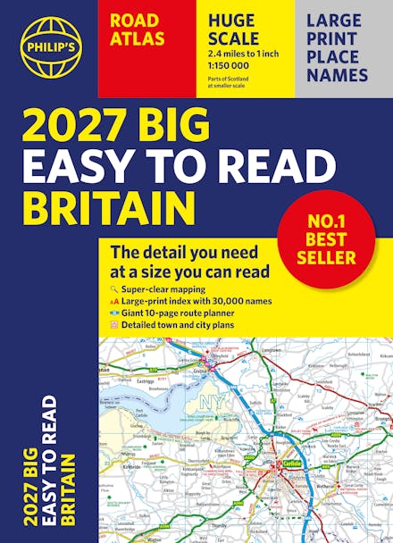
Formats & Editions


- Britain's best-selling school atlas - now in its 101st edition
- Recommended for Key Stage 4, GCSE and A-Level in England and Wales (Scottish National Qualifications/Highers) and international schools
- Fully updated to reflect the latest changes in the curriculum
- Published in association with the Royal Geographical Society
- Combines superb digital maps of Britain and the world with up-to-date thematic maps
- Country-by-country statistics on population, land use, trade, tourism, energy, wealth and much more
- World Themes Section - from volcanoes and earthquakes to population trends, languages and religions, all the key aspects and statistics of geography are explored and explained
- Plus a special section on how satellite imagery is used to interpret global, environmental and urban patterns of change
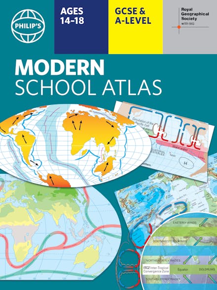
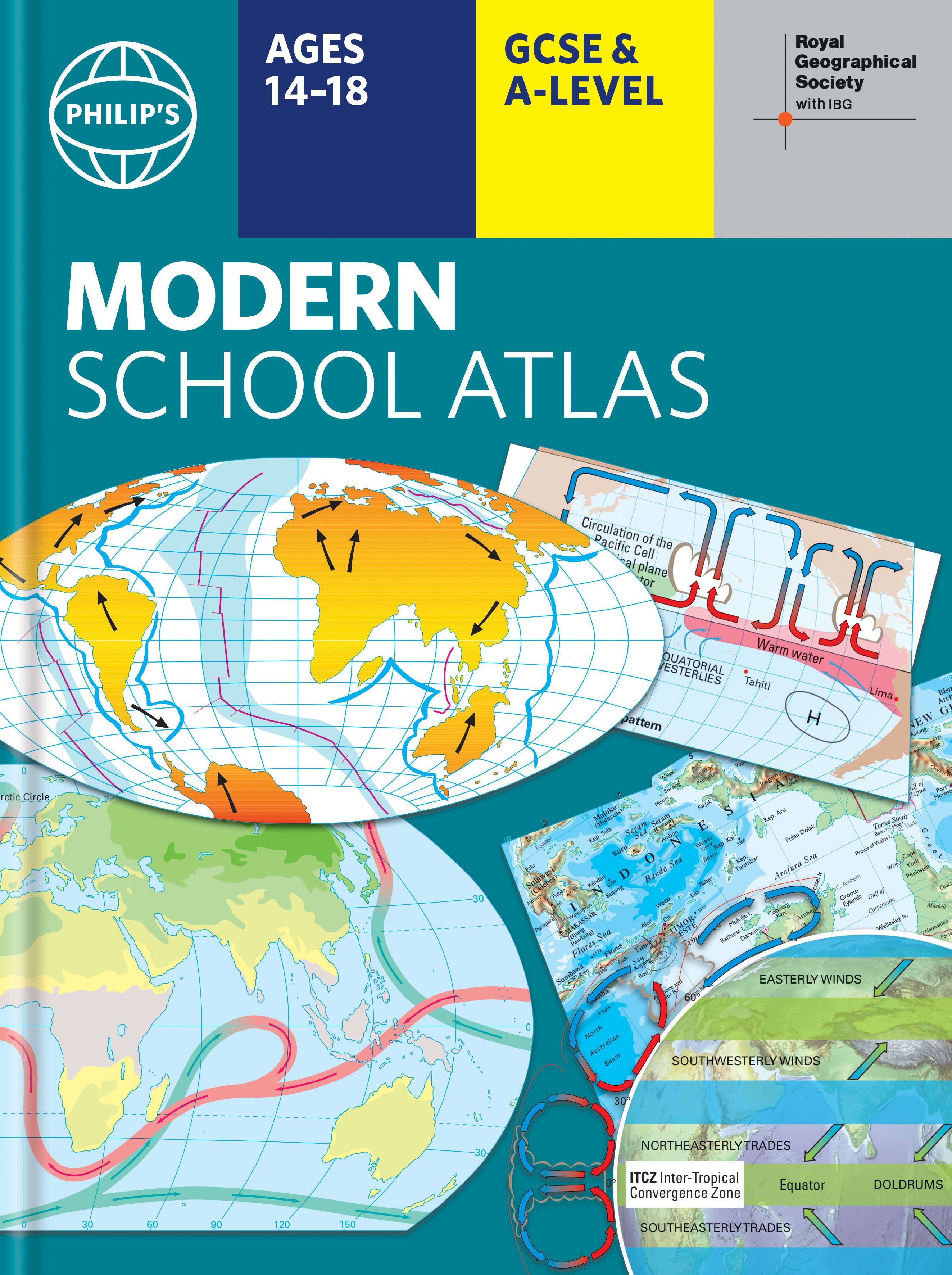
Britain's best-selling secondary school atlas, now in its 101st Edition. The contents are divided into colour-coded sections for rapid reference.
The physical maps of the United Kingdom and Ireland are accompanied by thematic maps on numerous key social and economic themes. World topographical maps, with thematic maps on topics such as climate, population and economics, are followed by 30 pages of World thematic maps.
Completing the atlas is a section of World social and economic statistics, and an index with letter-figure grid references as well as latitude and longitude co-ordinates.
Available in both hardback and paperback formats, Philip's Modern School Atlas 101st Edition is an unbeatable combination of highly detailed physical mapping backed up by enlightening thematic maps.
Praise for Philip's Modern School Atlas
-
Nice price for such a great book full of beautiful maps and information! - Amazon customer review
-
Clear mapping, to the point. What else do you need in an atlas? - Amazon customer review
Find a book you'll love, get our newsletter
Hachette Australia acknowledges and pays our respects to the past, present and future Traditional Owners and Custodians of Country throughout Australia and recognises the continuation of cultural, spiritual and educational practices of Aboriginal and Torres Strait Islander peoples. Our head office is located on the lands of the Gadigal people of the Eora Nation.
This site is protected by reCAPTCHA and the Google Privacy Policy and Terms of Service apply.
© Hachette Australia, All Rights Reserved · Site by Chook