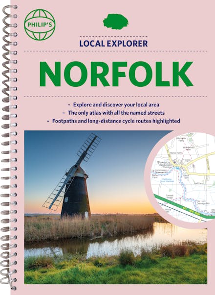
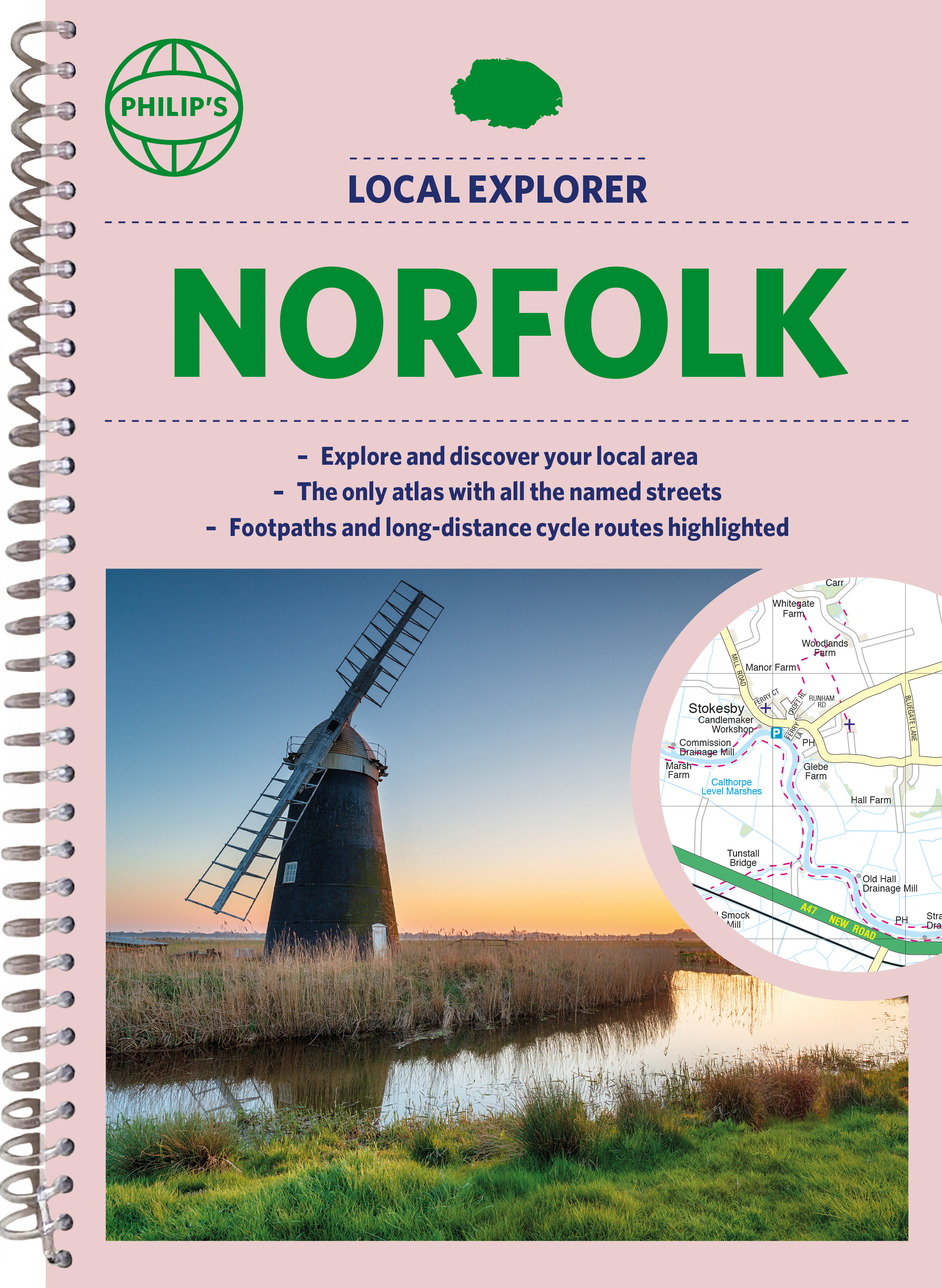
Philip's Street Atlas Norfolk: Spiral Edition
Formats & Editions


Who hasn't explored and enjoyed their surrounding area in recent years and come to appreciate what is on our respective doorsteps? Philip's have created this new series for walkers, cyclists and local explorers at a scale that provides greener options to uncover all the nature and hidden gems in your local area.
Includes all the 20,000 streets in BECCLES, GREAT YARMOUTH, KING'S LYNN, Norwich, Thetford, Attleborough, Aylsham, Brundall, Bungay, Caister-on-Sea, Cromer, Dersingham, Diss, Downham Market, Fakenham, Harleston, Heacham, Hemsby, Hunstanton, Lakenheath, Loddon, North Walsham, Sheringham, Swaffham, Watton, Wells-next-the-Sea, Wisbech, Wymondham.
The detailed scale allows explorers, walkers and cyclists to avoid main roads and select pathways, bridleways and lanes for optimum enjoyment. Whether it's meandering through the local parks or historic houses, exploring neighbourhood nature spots or the local town, we have the clear mapping and information you need.
If you do have to travel to reach areas you'd like to explore, all A and B roads are clearly shown on our Route Planner and we include all the large-scale town and city plans. Exceptional detail allows the user to pinpoint exactly where they need to go and the best route to follow.
The only atlas with every road, street and lane in the county named, along with the best pedestrian routes, long-distance cycle routes.
Highlighting lanes, alleyways, footpaths and bridleways, camping and caravan sites, golf courses, parks, gardens and many, many other places of interest.
Contains all the usual one-way streets, barriers, car parks, railway and bus stations, hospitals, colleges and schools, police and fire stations, places of worship, post offices, shopping and leisure centres.
Find a book you'll love, get our newsletter
Hachette Australia acknowledges and pays our respects to the past, present and future Traditional Owners and Custodians of Country throughout Australia and recognises the continuation of cultural, spiritual and educational practices of Aboriginal and Torres Strait Islander peoples. Our head office is located on the lands of the Gadigal people of the Eora Nation.
This site is protected by reCAPTCHA and the Google Privacy Policy and Terms of Service apply.
© Hachette Australia, All Rights Reserved · Site by Chook